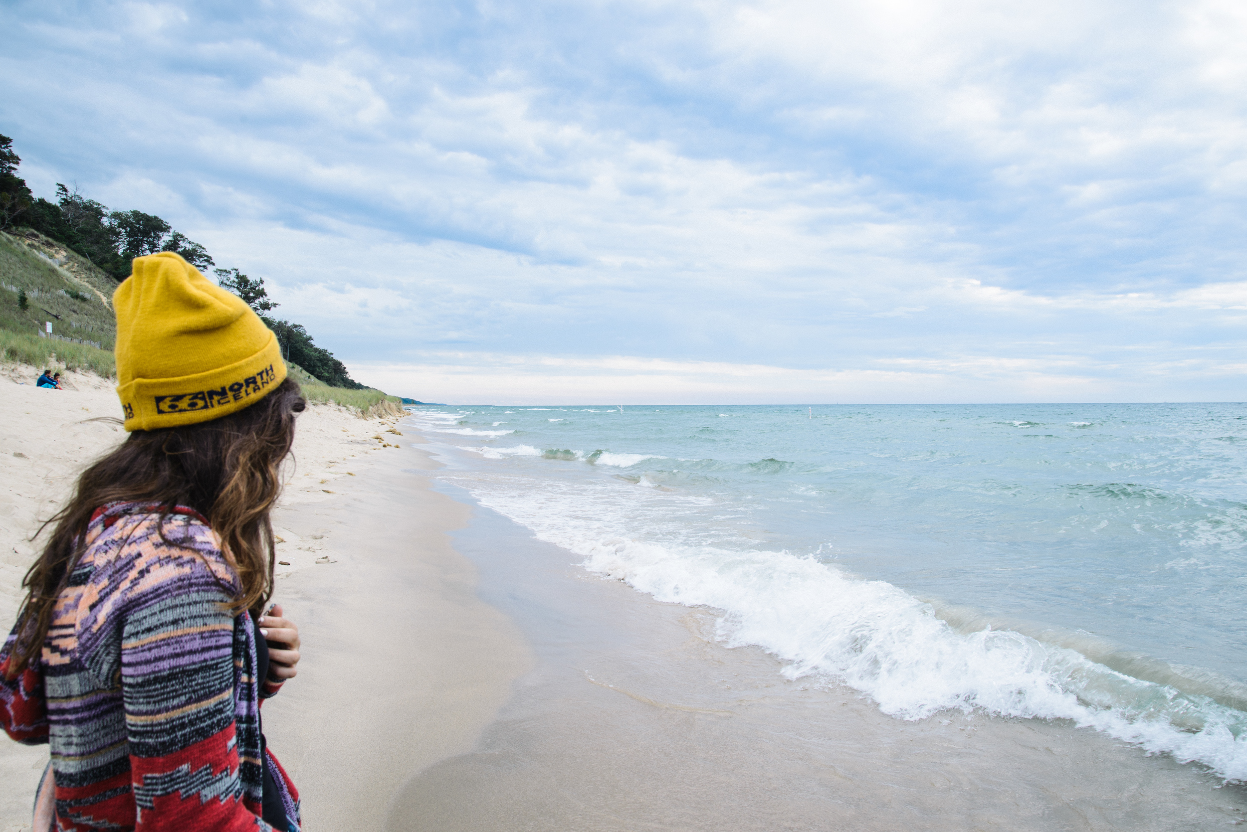
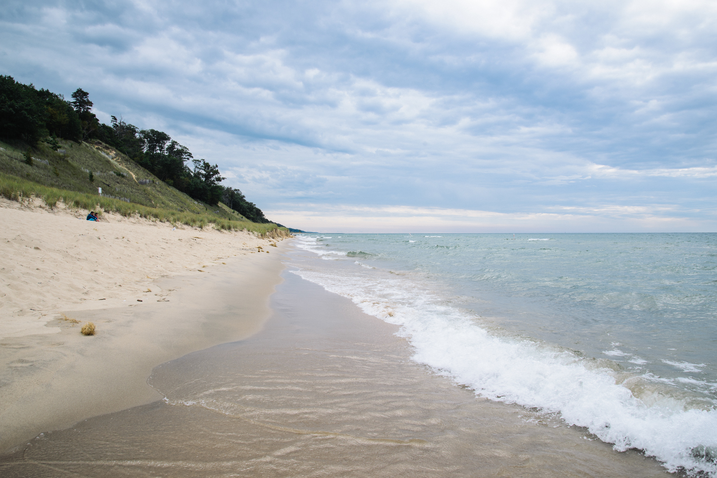
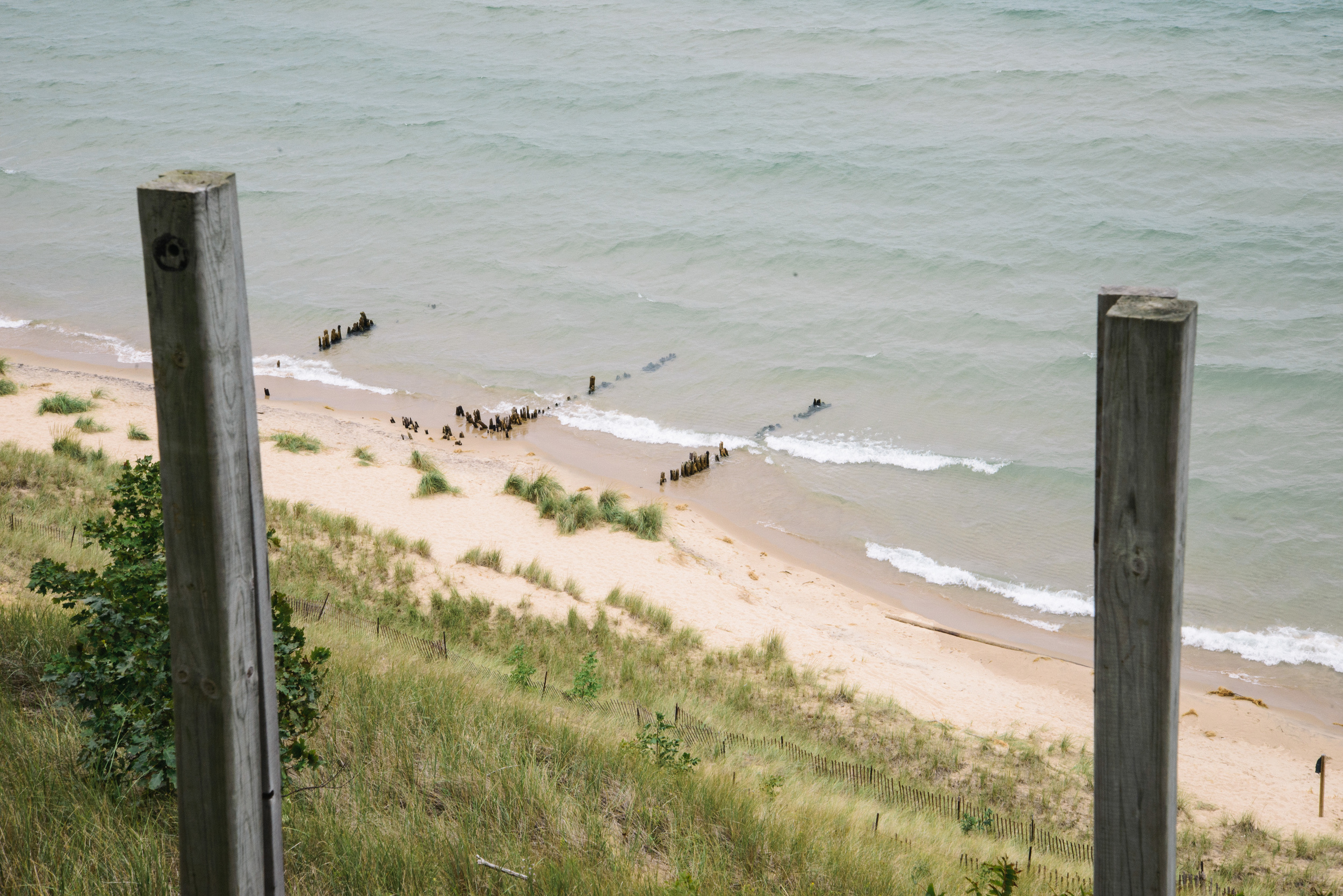
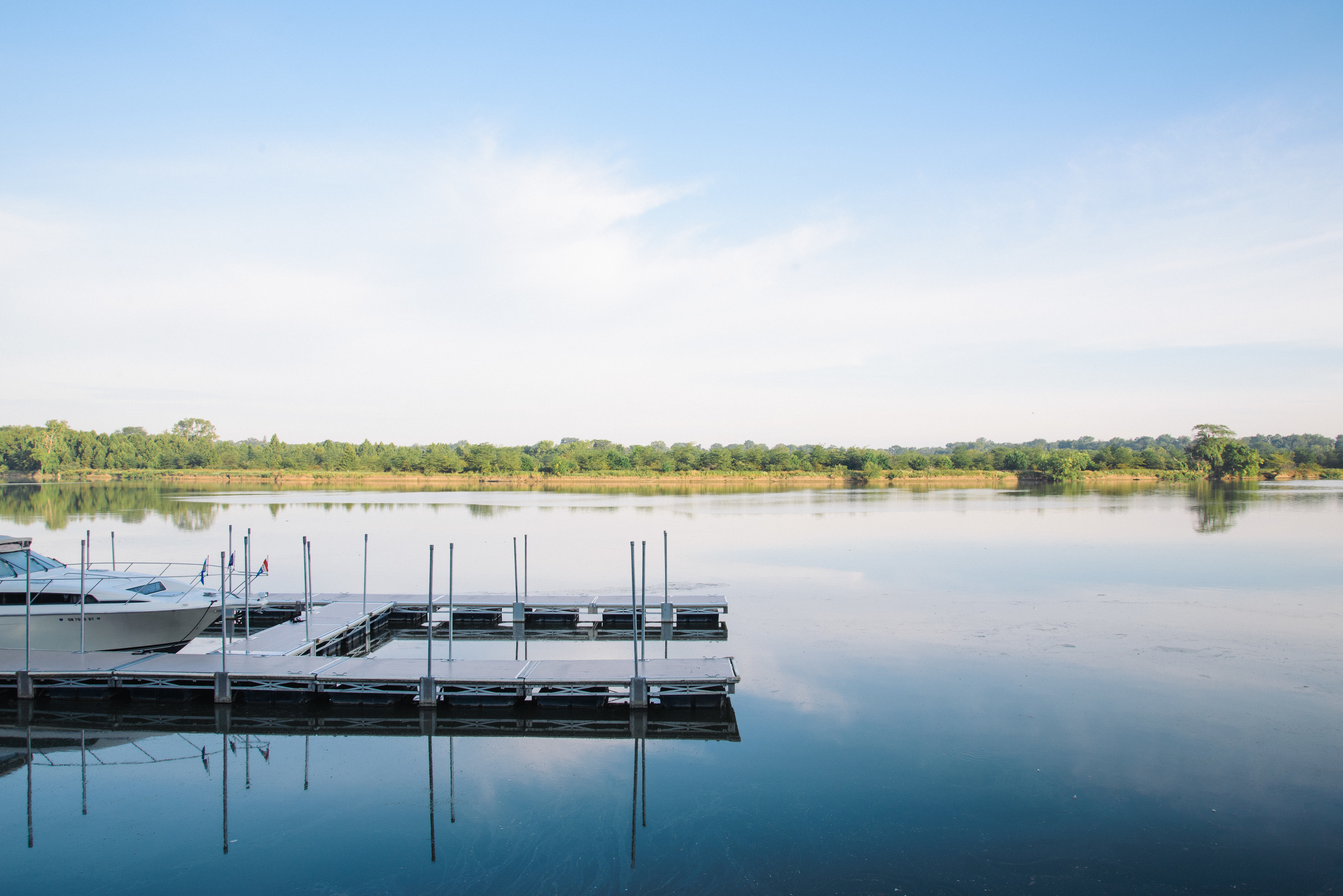
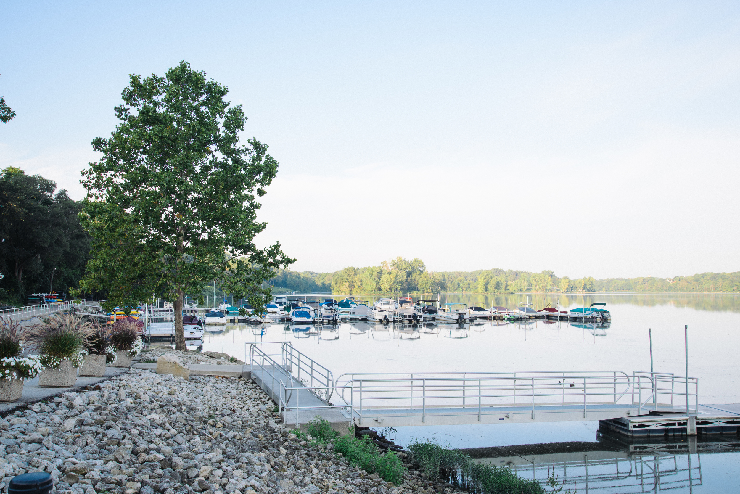
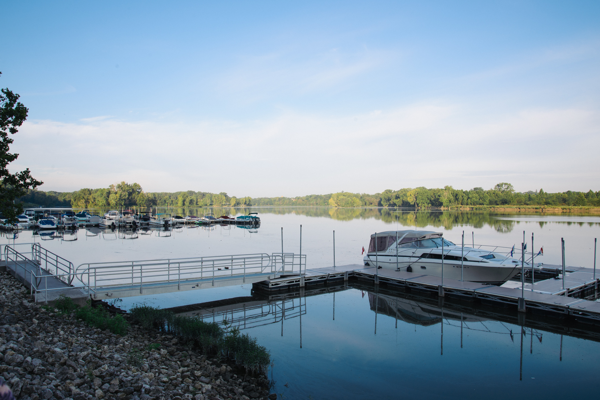
Mid-West Photo Journal Part 3: INDIANA

Following our three day road-trip to Michigan, and some more time in Ohio, we decided to hire a car to make a longer road-trip to Nashville to see some good friends. Not being people who like things to be too straightforward we opted not to take the Interstate 75 all the way down, but instead took an alternative route, driving over three days through Indiana and Kentucky. 

We hired our car from Toledo Airport, and of course made a quick stop for a take-away coffee at The Flying Joe in Perrysburg (the best coffee i have found in NW Ohio). We then headed out west on Highway 24 towards Fort Wayne and after an hour's driving we crossed the border into Indiana. I'm not sure what I was expecting, but North-East Indiana looks exactly the same as North-West Ohio, except Indiana sounds more exotic, maybe because it has "India" in its name. 

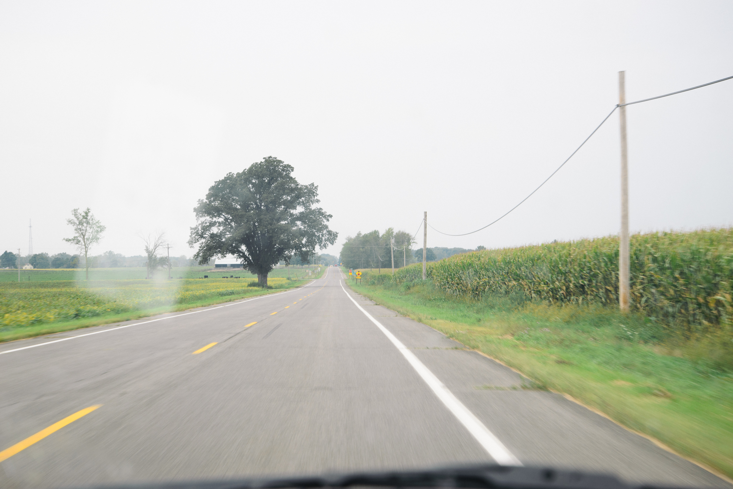
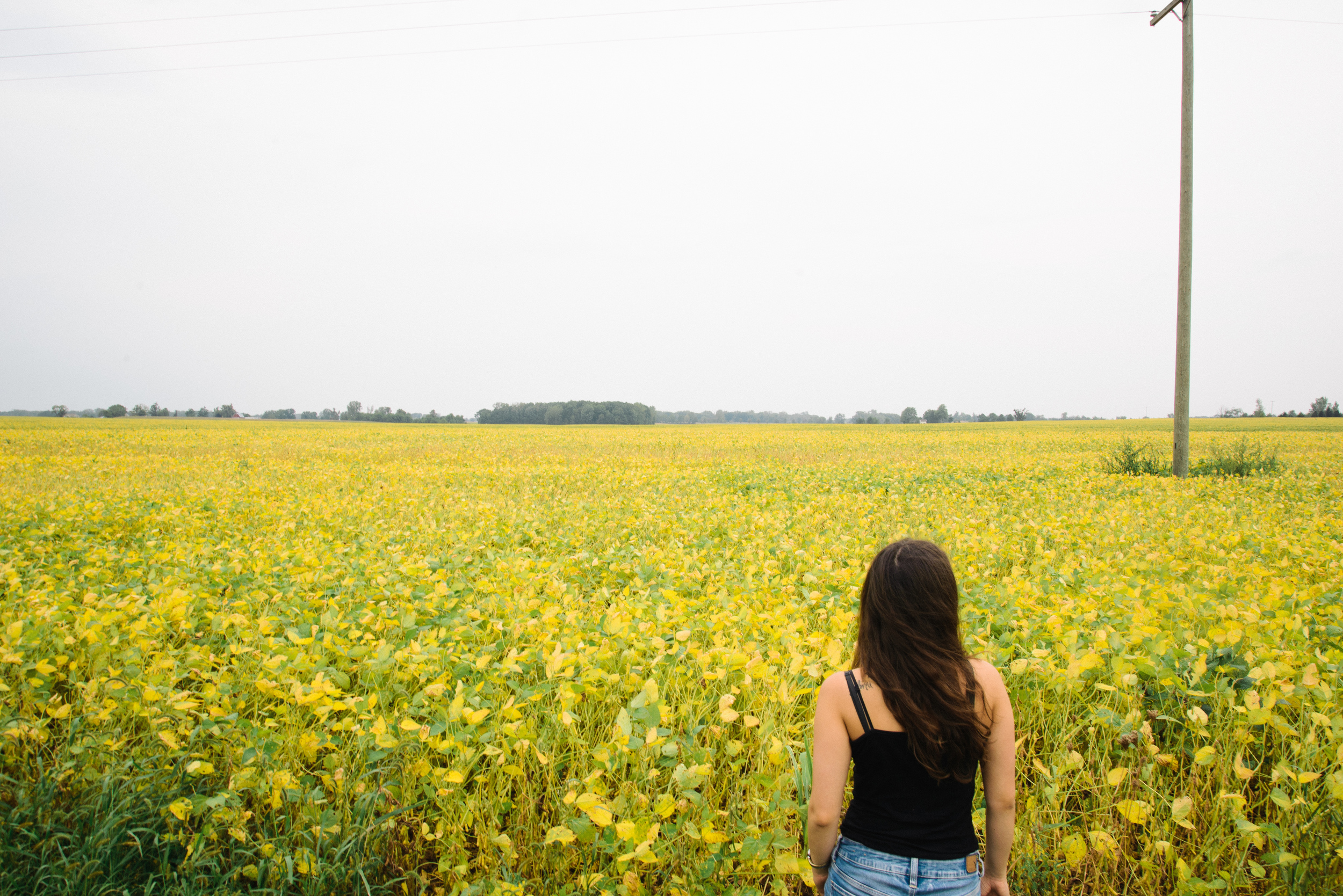
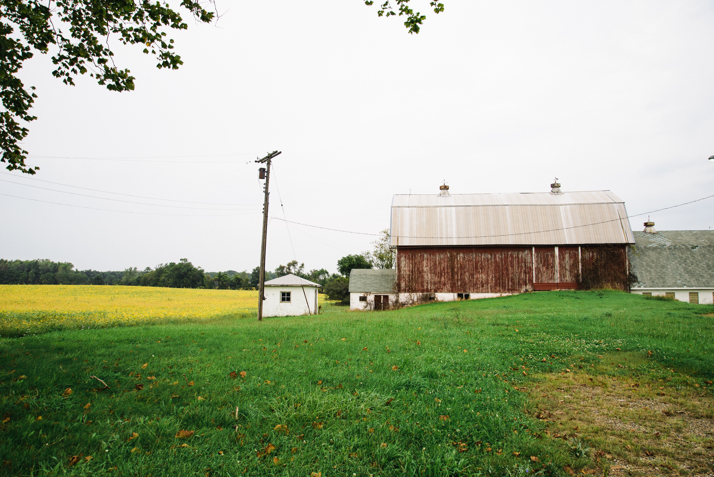
Driving across northern Ohio and Indiana is akin to driving across a ridiculously large pancake which stretches for hundreds and hundreds of miles. The villages and farms here and there are like the lemon and sugar, adding flavour to an otherwise very plain landscape. It seems God used a steam iron when creating this part of the States. Straight roads criss-cross endlessly across the cornfields in ways unimaginable back in England, where tiny lanes bend around hills, streams and farms. The Mid-West is as American as you can get. 

After another hour or so we decided to turn off the Highway south on Indiana State Route 1 to avoid some roadworks. Shortly, we came to the small town of Bluffton. Maybe it was just because it was my first town in a new state, but I got excited enough to pull over and take some photos. Indiana seemed to be even more patriotic than Ohio if frequency of the Stars and Stripes is the measure. 

We carried on down the straightness and flatness of the Indiana roads, onwards and onwards until we rejoined the highway and then found ourselves in the state capital, the metropolis of Indianapolis in mid-afternoon. We had a bit of time free before we were due in our accommodation, so after the long drive we went to Quills Coffee near the city centre for some caffeine therapy. (We always research the coffee in each city before we go, I've had too many bad coffees to risk NOT stumbling on a good café, and often the best places are hidden away down side streets). Quills is a roastery and small chain of coffee shops in Indiana and Kentucky and the staff are very knowledgable and welcoming. This branch seemed to be in some kind of foyer of a new apartment complex, but I kind of liked it. 

Quills Indianapolis.jpg

We left Quills and decided to take a walk around the city centre. We found some nicely painted walls which are always fun for portraits: 

The centre of Indianapolis is, like most US cities, designed on a grid system. At the centre of the city is a long rectangular park with a number of impressive buildings, the Indiana War Memorial Plaza. It was originally built to honour the veterans of World War and to be the headquarters of the American Legion, which is situated at the north end of the Plaza. Walking south through the park, we pass a homeless man sleeping in the sun and a glamorous wedding photo shoot before we come to the Veterans Memorial Plaza, with it's tall obelisk. I'm not too much of a conspiracy theorist, but I feel like the Egyptian obelisk seems to crop up in nearly every major city I visit. I start to wonder why there can't be a bit more creativity when building monuments, and then wonder whether there really IS a conspiracy, and then I get distracted by the central feature of the plaza, the Indiana War Memorial. It is apparently modelled on the Mausoleum of Halicarnassus, one of the Seven Wonders of the Ancient World. It's a imposing building, even in the autumn sunlight. We watch a lone jogger running up and down the steps in a pink jogging suit, and then climb the steps and take in the view around the city. 


A little further to the south is the Chase Tower, also apparently modelled on the Mausoleum of Halicarnassus, and the tallest building in Indiana, and the 47th biggest in the U.S. With its little twin antenna at the top, it has something Gotham-city-esque about it. 


After pausing for a while, we continue past a group of worryingly inebriated people pedalling around the city on a huge covered bicycle which seemed to serve an endless supply of beer while they cycled. As it is run by a company, I assume they can't be prosecuted for drunk driving..


The city centre is a circle plaza, Monument Circle, with roads radiating out four ways. We realise we have walked a long way from our car, so we head back, a 30 minute walk. Despite it's pomp and ceremony Indianapolis seems a little devoid of life and vibrance. Like a big ghost town, or maybe the place had been evacuated and we didn't get the memo. Regardless, it felt a little erie at times, and so we were glad to head back to the home of our couchsurfing hosts just north of the city centre, who had cooked us a wonderful vegetarian meal. 

The next day, we set out for what turned out to be an epic day of driving. We turned off the highway after an hour or so, and took the backroads the rest of the way. For the first time in our trip, the flat plains turned into rolling hills and forests as we drove through the south of the state. 

We drove through several small towns, where patriotism seemed to be as alive as ever, such as Orleans.

Orleans IN.jpg

We soon reached the really cute little town of Paoli, in Orange County (California is not the only one to have an OC). Our route was blocked by police, as some kind of carnival or procession was taking place. It turned out to be the Orange County Fair. Rather than find a detour, we decided to pull over and have a quick wander around the town. I felt like I had suddenly found a romanticised vision of small town America. There was a really cute little town square, quirky architecture, friendly cops, people selling pies, someone driving around campaigning for the Republican party in his pick-up and heck, even a kid driving a tractor. You don't get much more small town mid-west than that. It was like I'd arrived in a movie or novel, or perhaps a Simpson's episode. Either way, it was a great little journey break and photographic opportunity! 

A bit further on from Paoli we crossed a high road bridge and I snapped this goods train trundling through underneath


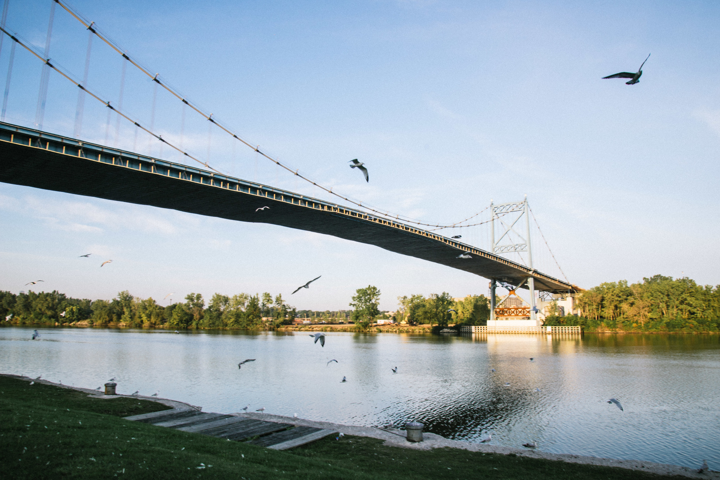
After driving through the rolling hills and tall trees of the Hoosier National Forest in the far south of Indiana, our backroads route finally brought us to a bridge across the Ohio river where we came to the end of Indiana and the beginning of Kentucky, the end of the Mid-West and the beginning of the South. We crossed the bridge, and I desperately wanted to get out and photograph it but there was not really a pedestrian footpath, just a white line marking the edge of the road with a narrow human-sized gap to the side of the bridge. Just over the bridge was a small town and I went and asked in the local store/gas station whether I was allowed to walk over the brige. After some confused looks from the staff, one of then made a phonecall to the local sheriff and then assured me it was fine to walk across it. 

I don't think the local motorists seemed to share the sheriff's opinion. Dodging semi trucks and being honked and shouted at numerous times, I made it to the middle of the bridge to get these shots. Don't ever think a photographer's life is easy! 

The next blog will be the last in this mini-series and will document our journey through Kentucky to Nashville and back to Ohio. Watch out for this in a few days! 


Mid-West Photo Journal: Part 2, MICHIGAN

I don´t know what first comes to mind when you hear the word "Michigan". I tend to think of industrial decline, Motown music and Sufjan Stevens, whose music I first got into by listening to his 2003 album "Michigan" (the singer-songwriter himself hails from Detroit). 

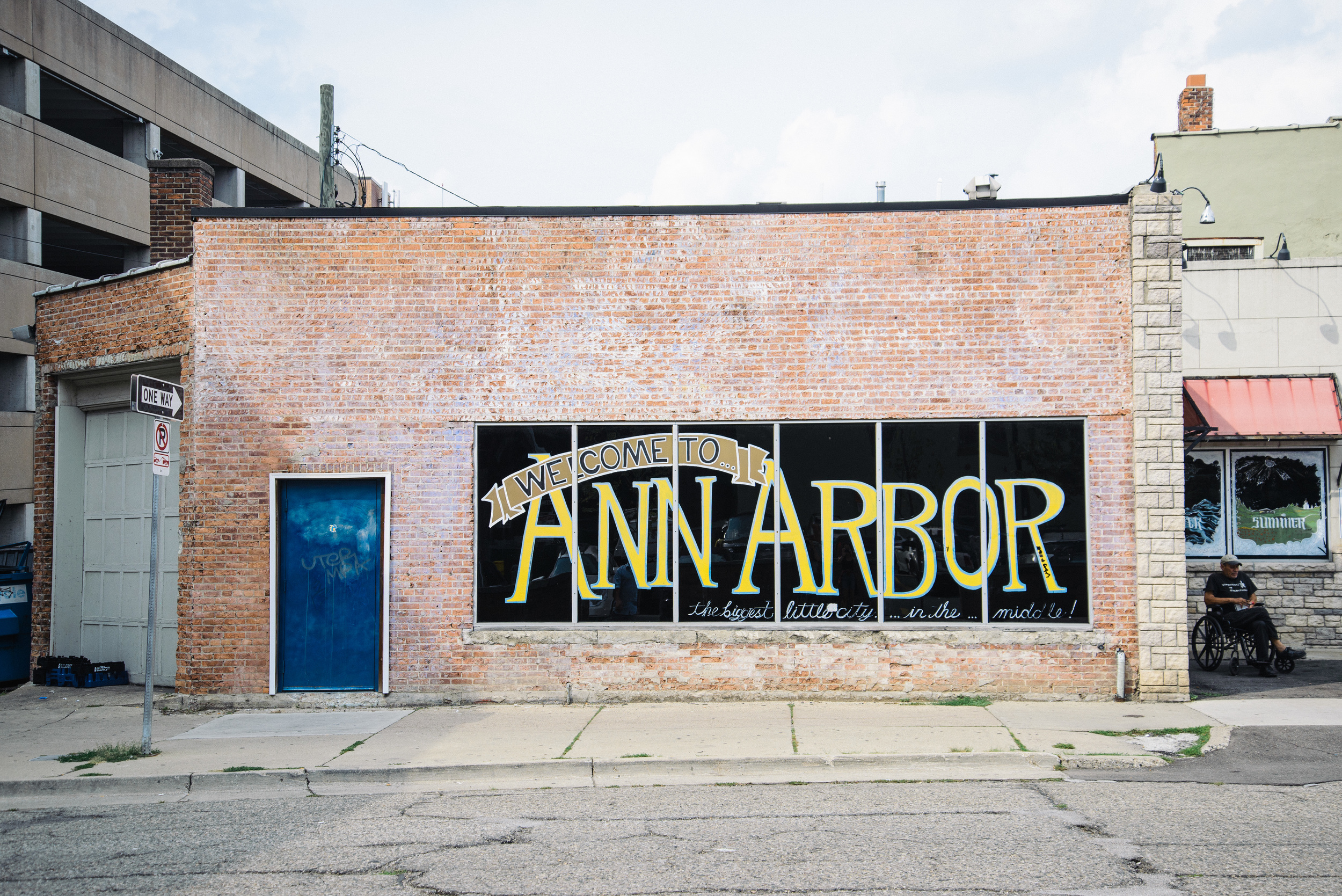
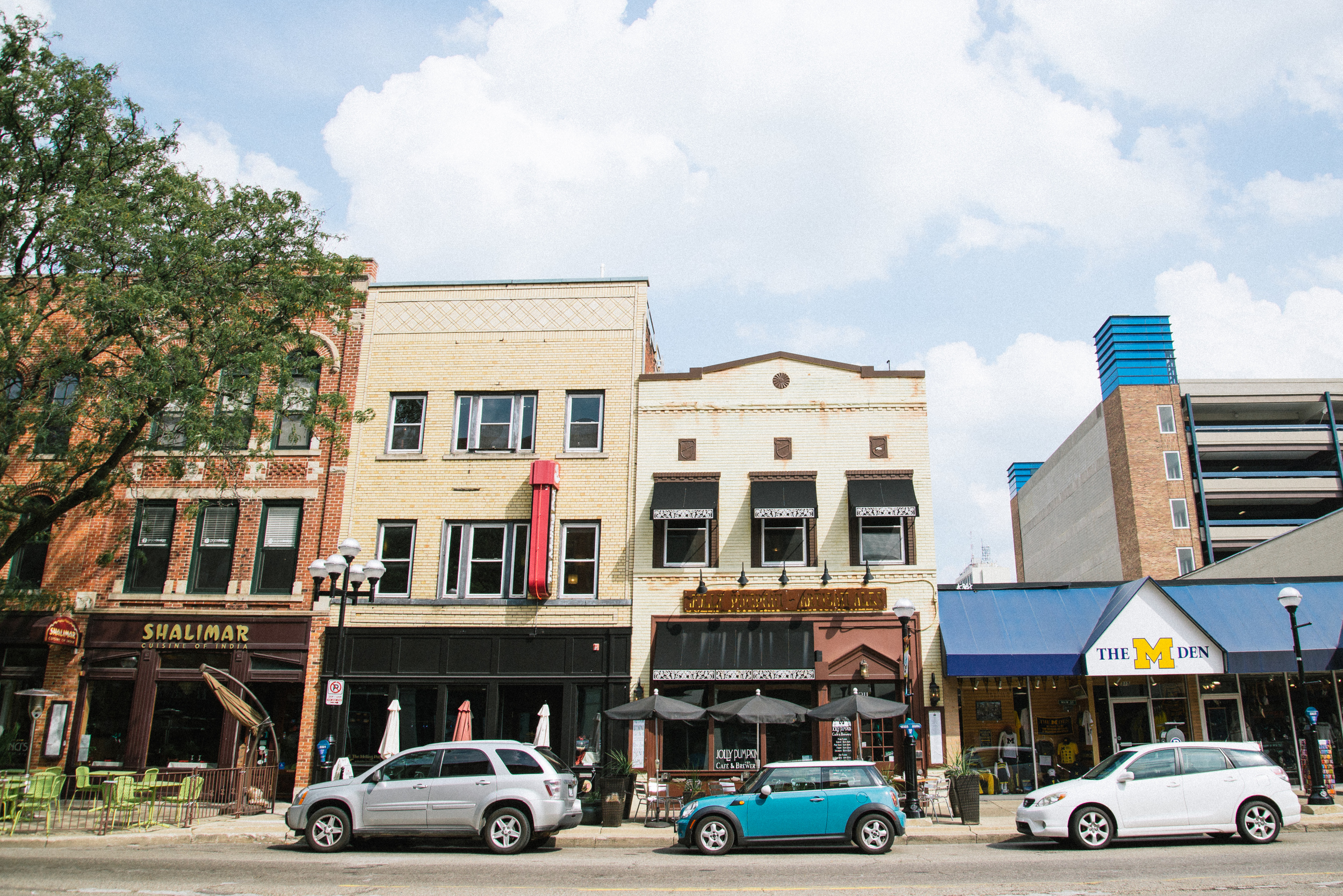
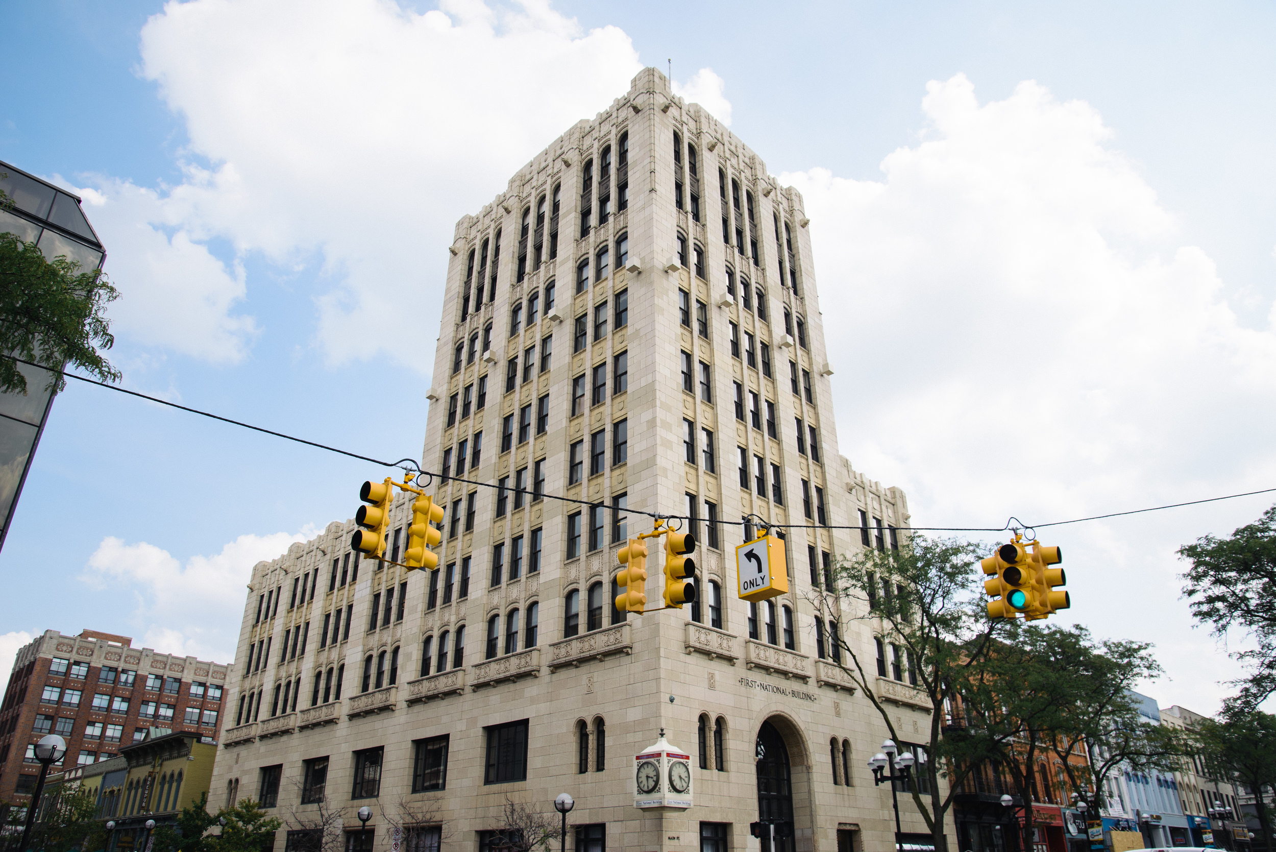
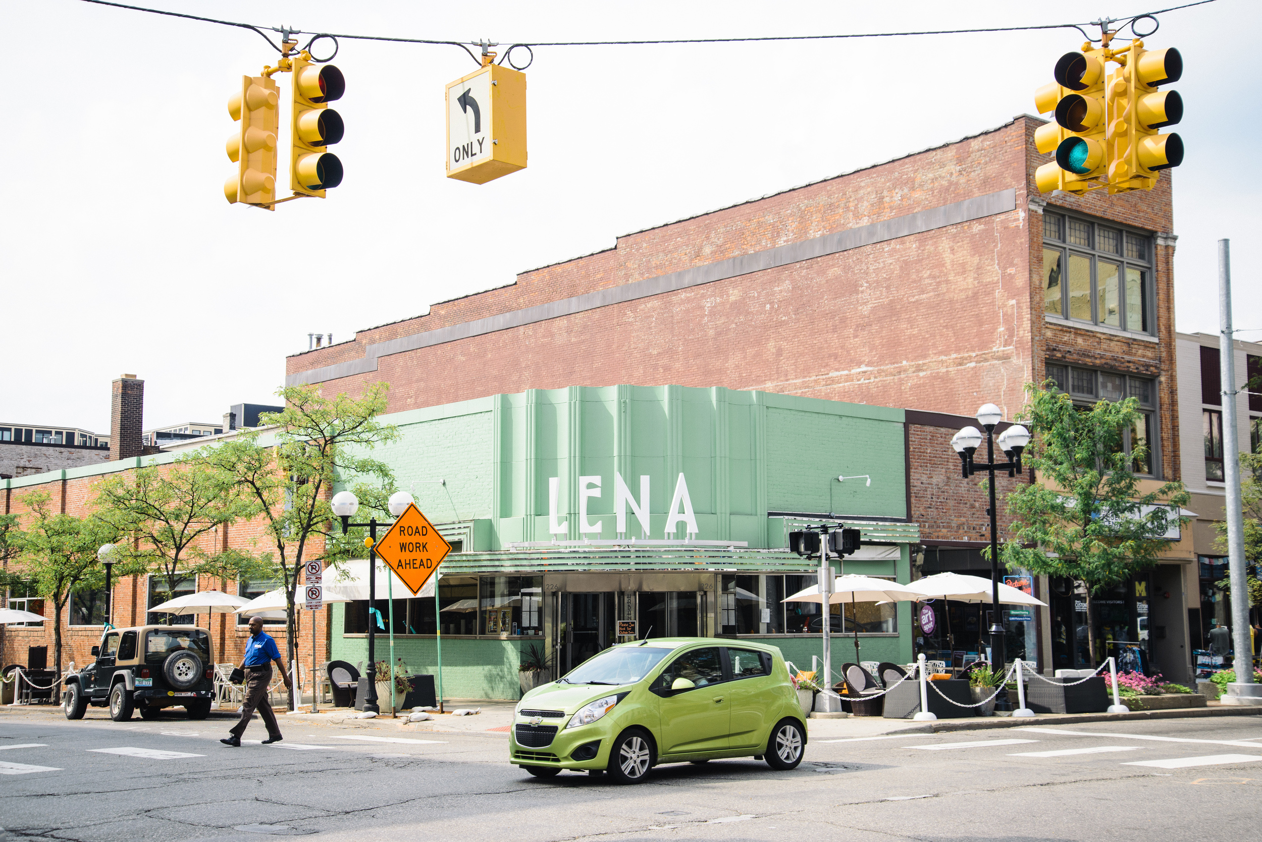
My first exploration of the Mid-West continued with a three day jaunt  into Michigan, which is less than an hour away from Fremont, my base in Ohio. We set off early in Jess's PT Cruiser and crossed into Michigan just by Toledo. After a couple of hours driving down the highway, we arrived in our first stop of Ann Arbor by mid-morning. Ann Arbor is on the edge of the Detroit metropolitan area. I had been frequently warned by people not to travel to Detroit as it is apparently America's most dangerous city. That still doesn't put me off wanting to visit (in fact it makes me curious to visit even more). However, this trip we decided to skip Detroit and make this brief stop in the much more genteel small university town. Our main reason was to stop for some good coffee. We certainly found this at the confidently-named Mighty Good Coffee in downtown area, and after a good cappuccino from experienced and friendly baristas, we wandered around the downtown area taking in some of the atmosphere before staying on for lunch at a great little hole-in-the-wall place which served some tasty Tacos for $2 on Tuesdays. 

Our journey continued as we decided to head of the highway and hit the back lanes of southern Michigan as we drove towards our destination of Grand Rapids. Southern Michigan is flat like NW Ohio, but with a bit more variation in scenery, a few rolling hills here and there, pretty farms and a lot more trees. 

After taking a few wrong turnings here and there, ending up at one point in the car park of an old people's home (where Jess jokingly threatened to leave me) we eventually found our way to Grand Rapids just as it was getting dark. We had randomly decided to make this the destination of our road trip after reading about the good coffee and craft beer. We had also found some amazing hosts on couchsurfing, Phillip and Loralee, who welcomed us like old friends with an incredibly tasty meal and local craft ale. They had also lived a summer in a remote part of the Westfjords of  Iceland (see my blog on the West Fjords here: http://www.nordicadventurer.com/blog/2016/2/13/beyond-route-1-the-westfjords) and they were some of the most incredibly hospitable and talented people you could even hope to meet. 


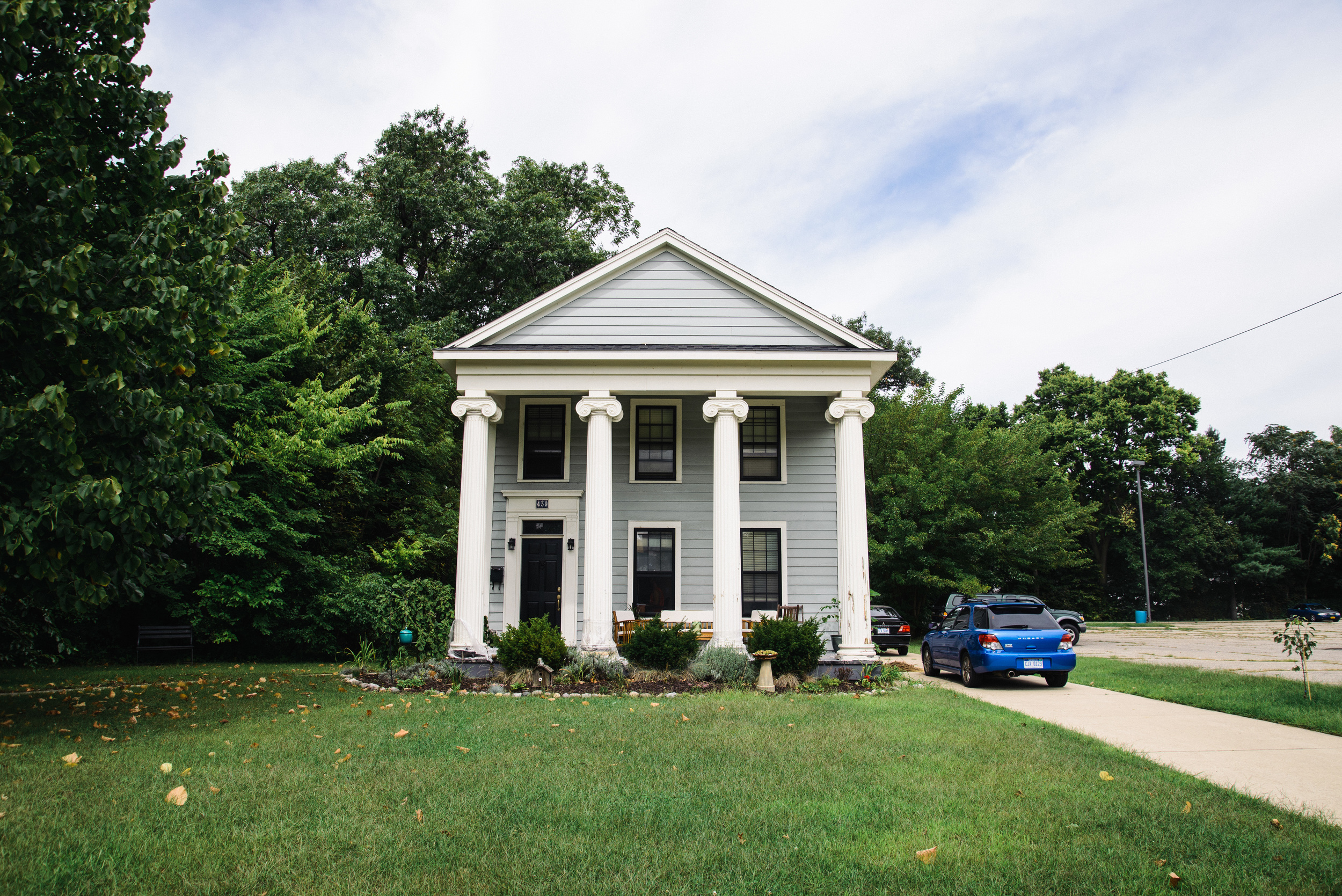
After a very relaxed night of food and conversation, the next day we headed out to explore Grand Rapids. Having just one full day in a city is sometimes challenging. There are so many options of things to do but on a limited budget and wanting also to relax, we tried not to over-stretch ourselves. We parked around the old historical district and found some beautiful old houses like this one: 

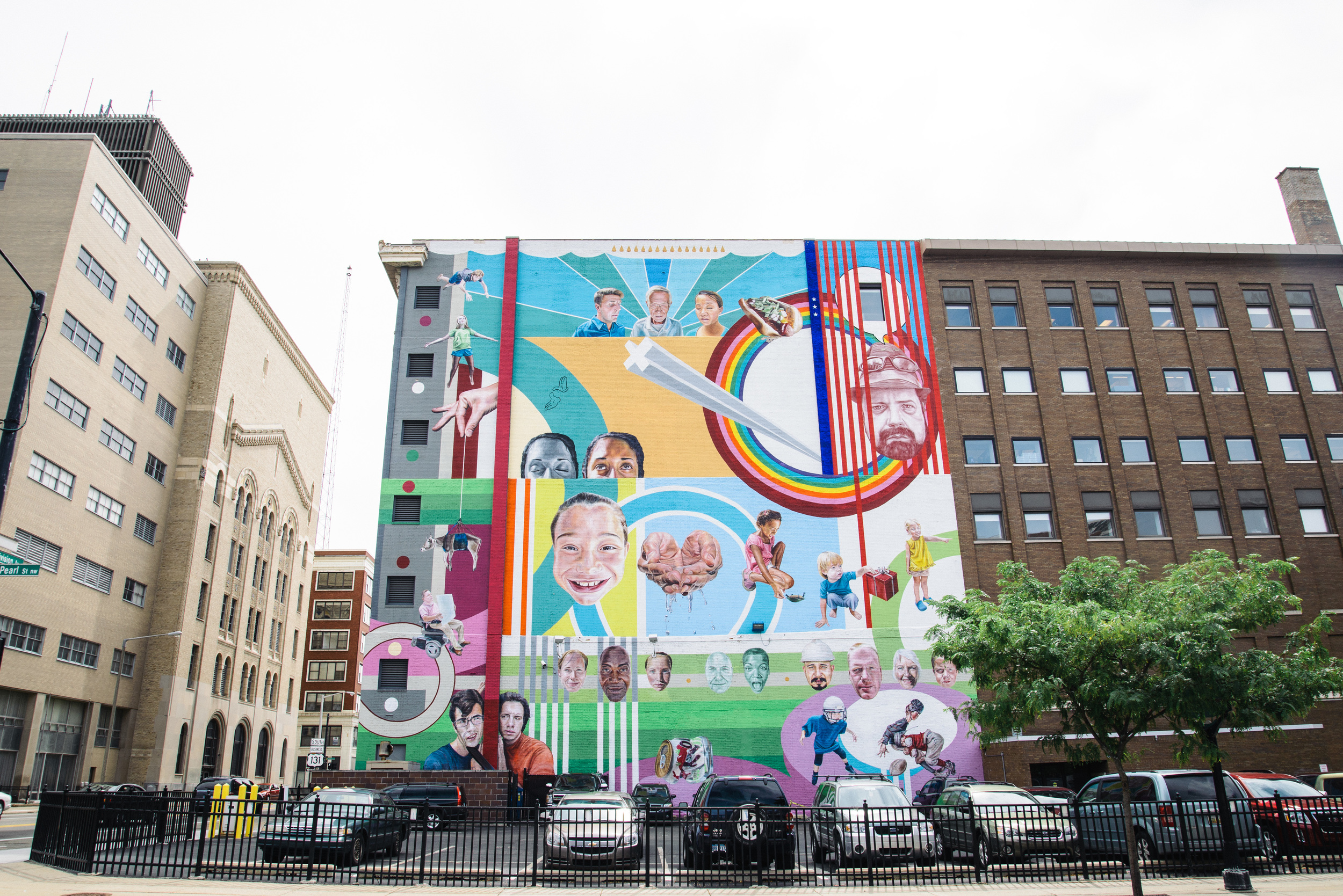
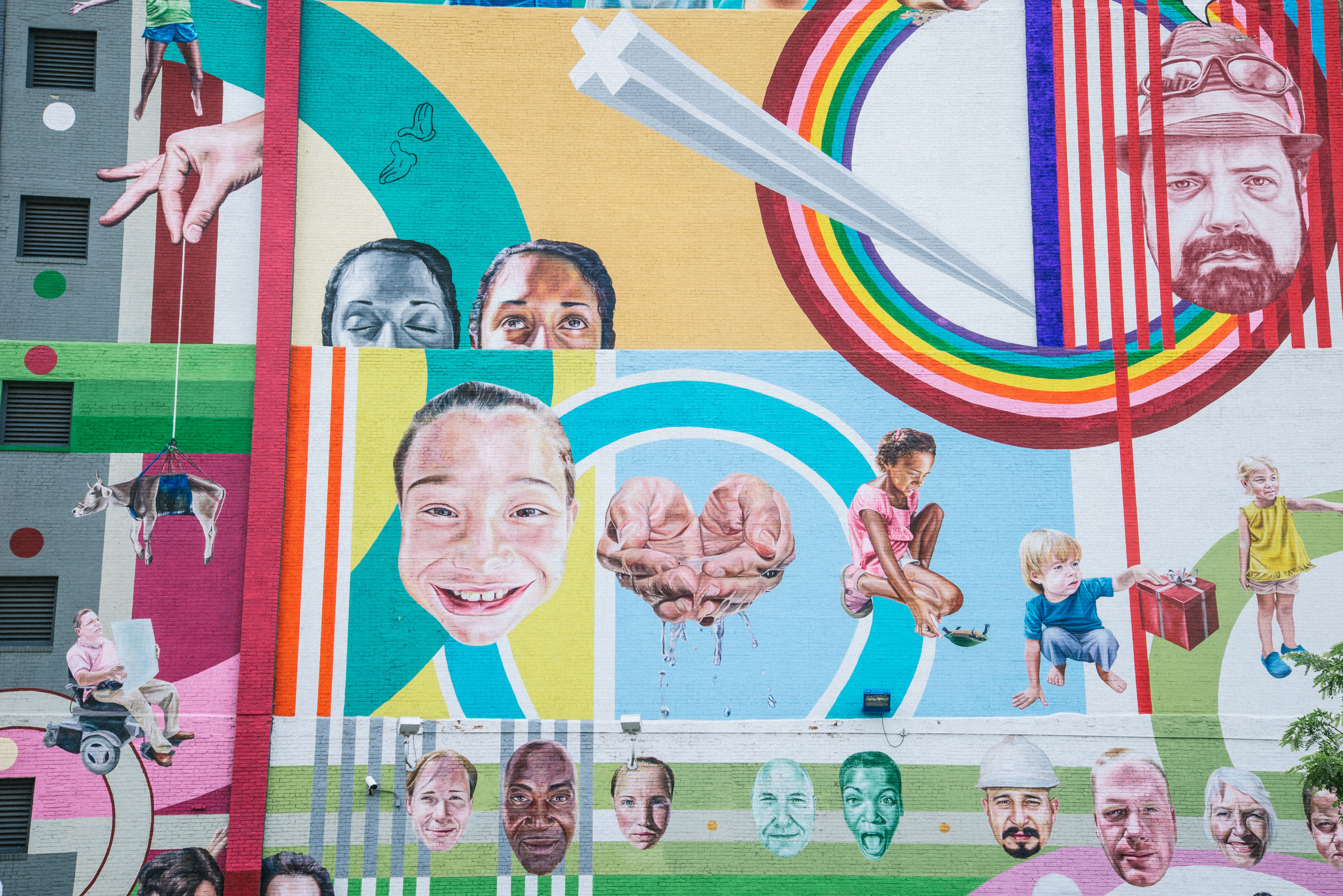
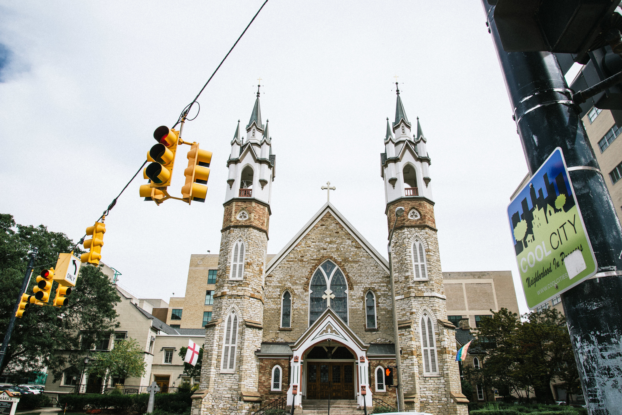
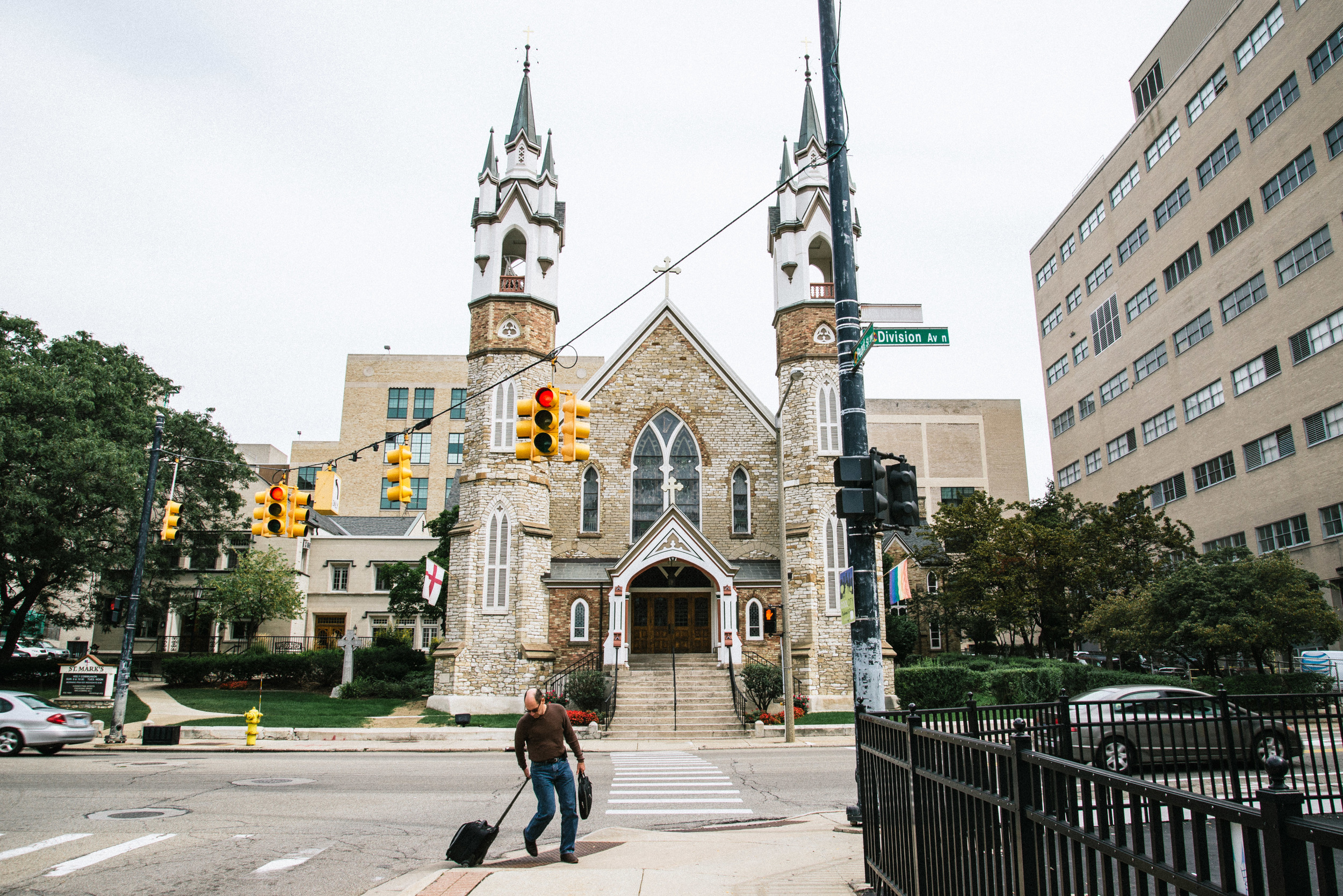
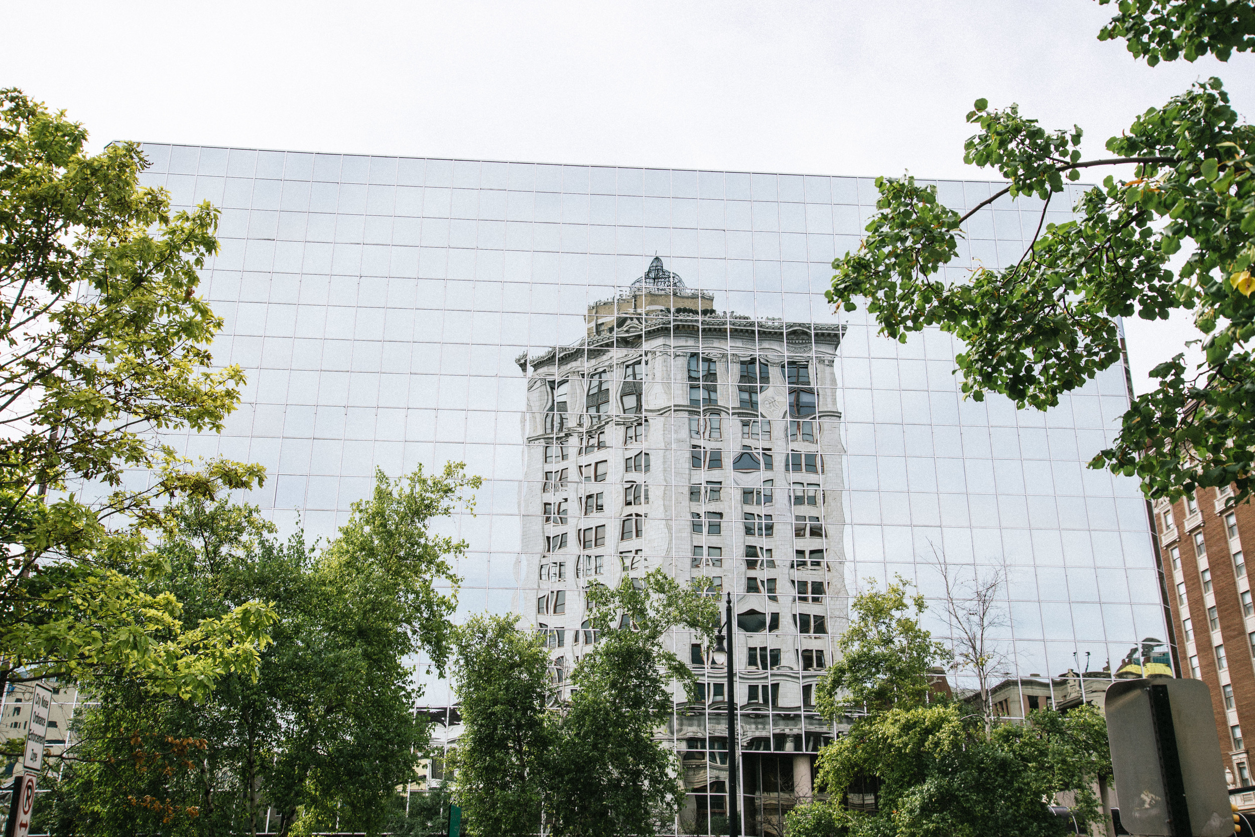
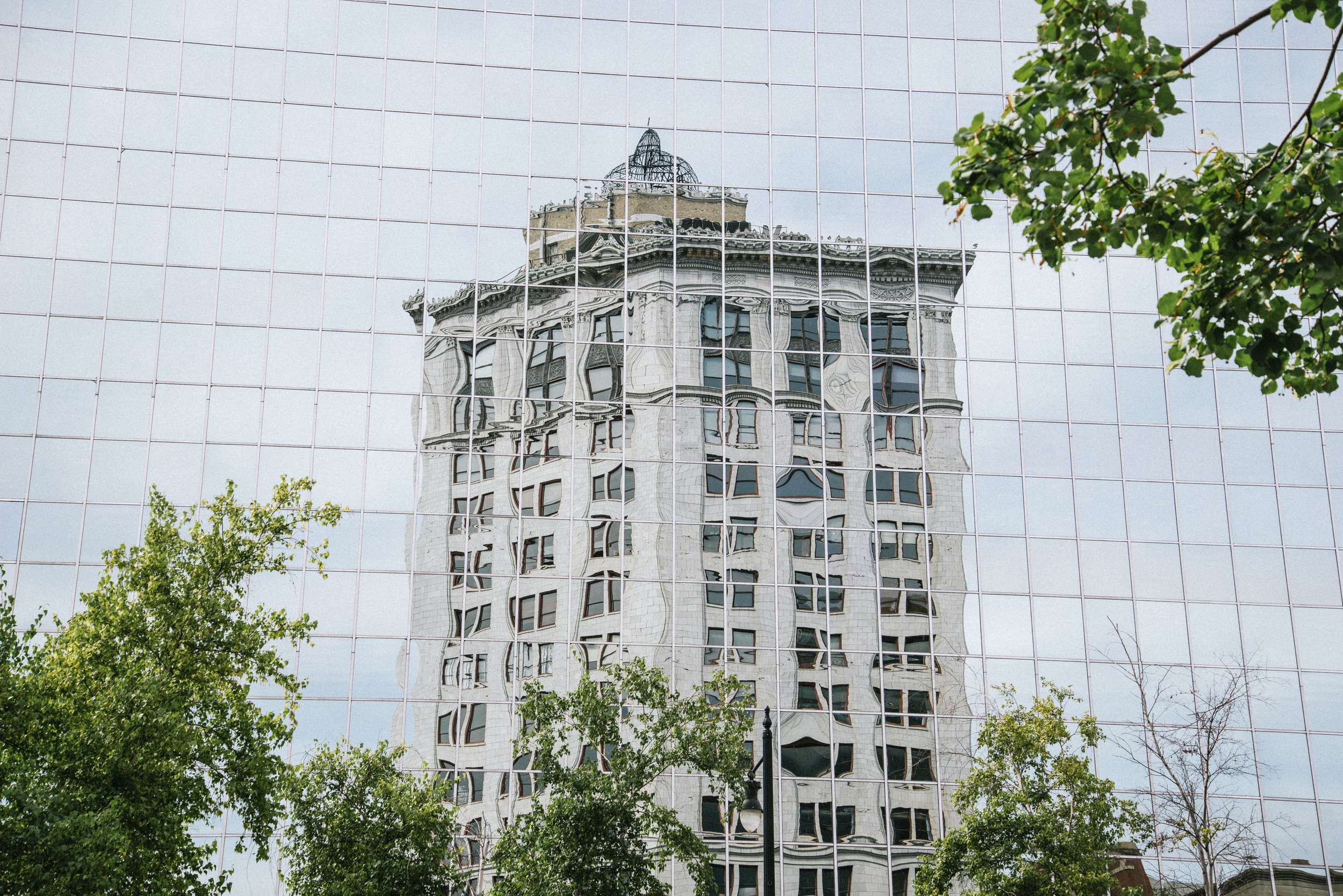
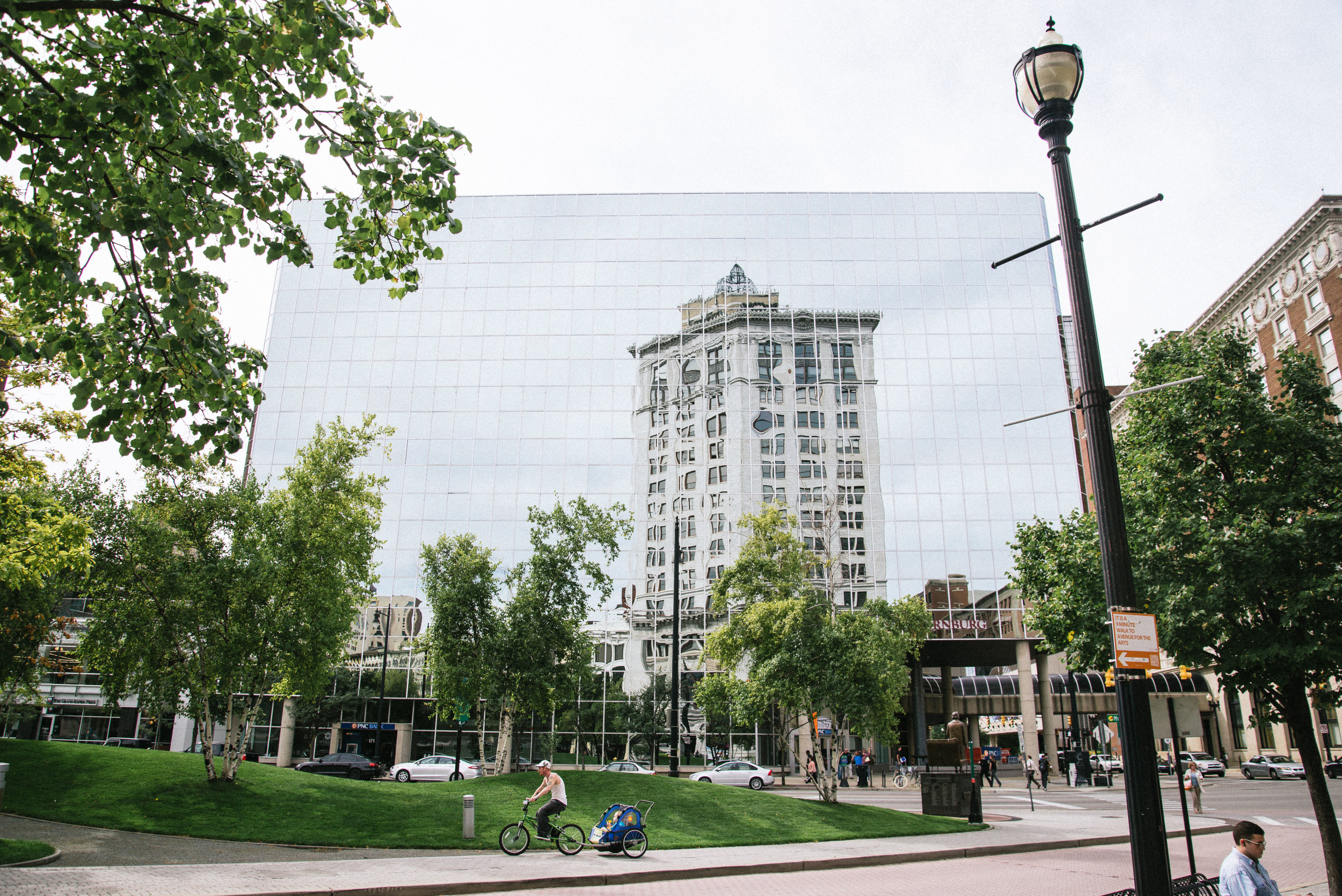
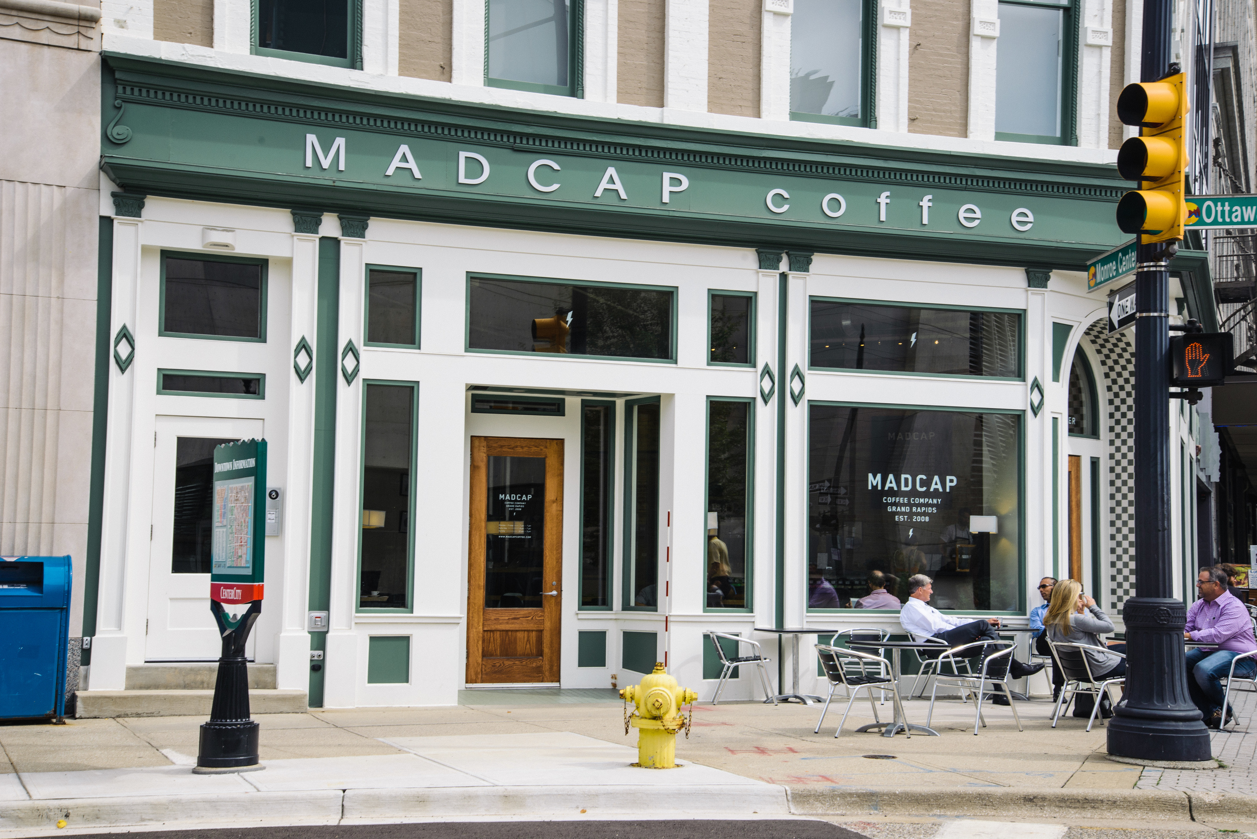
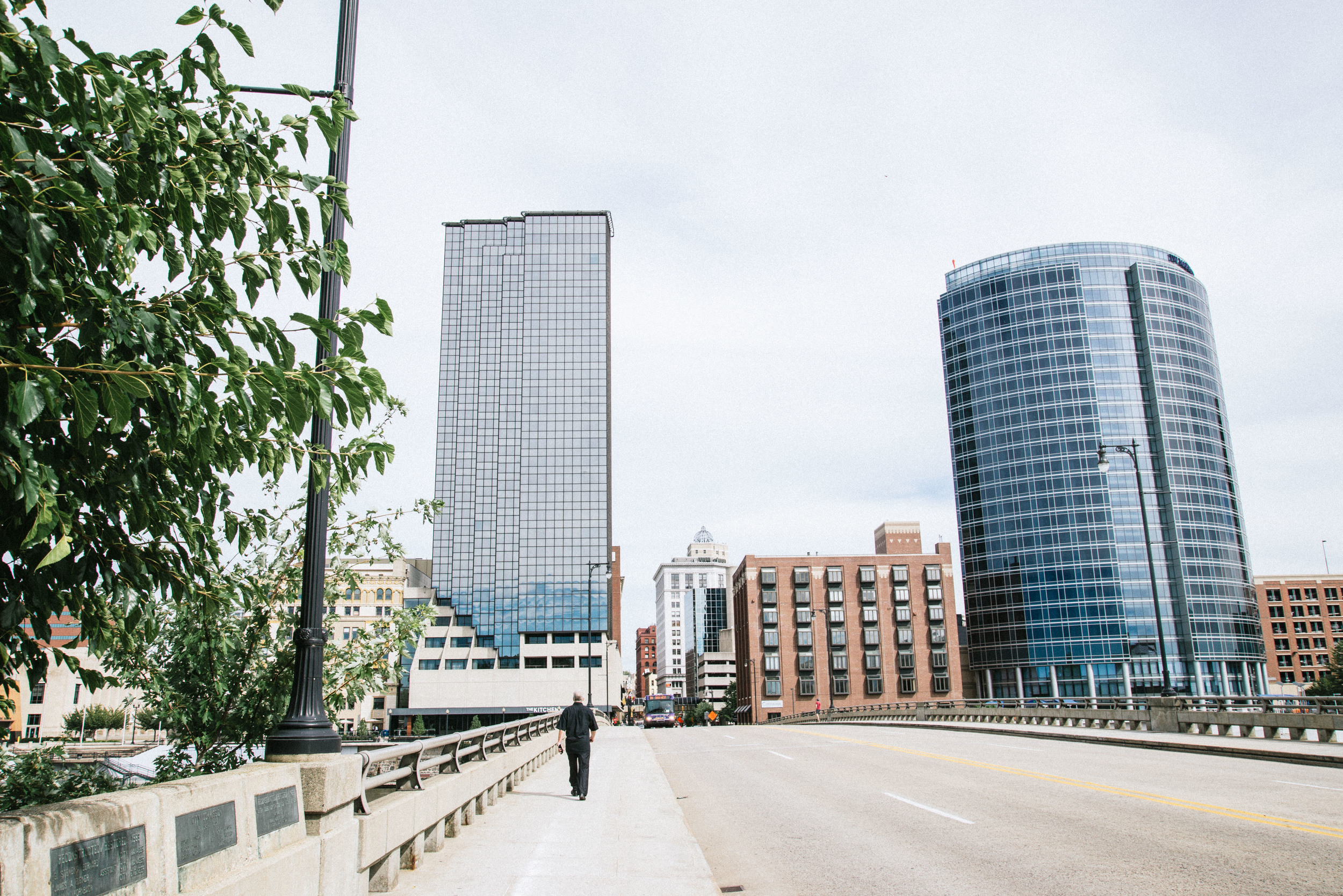
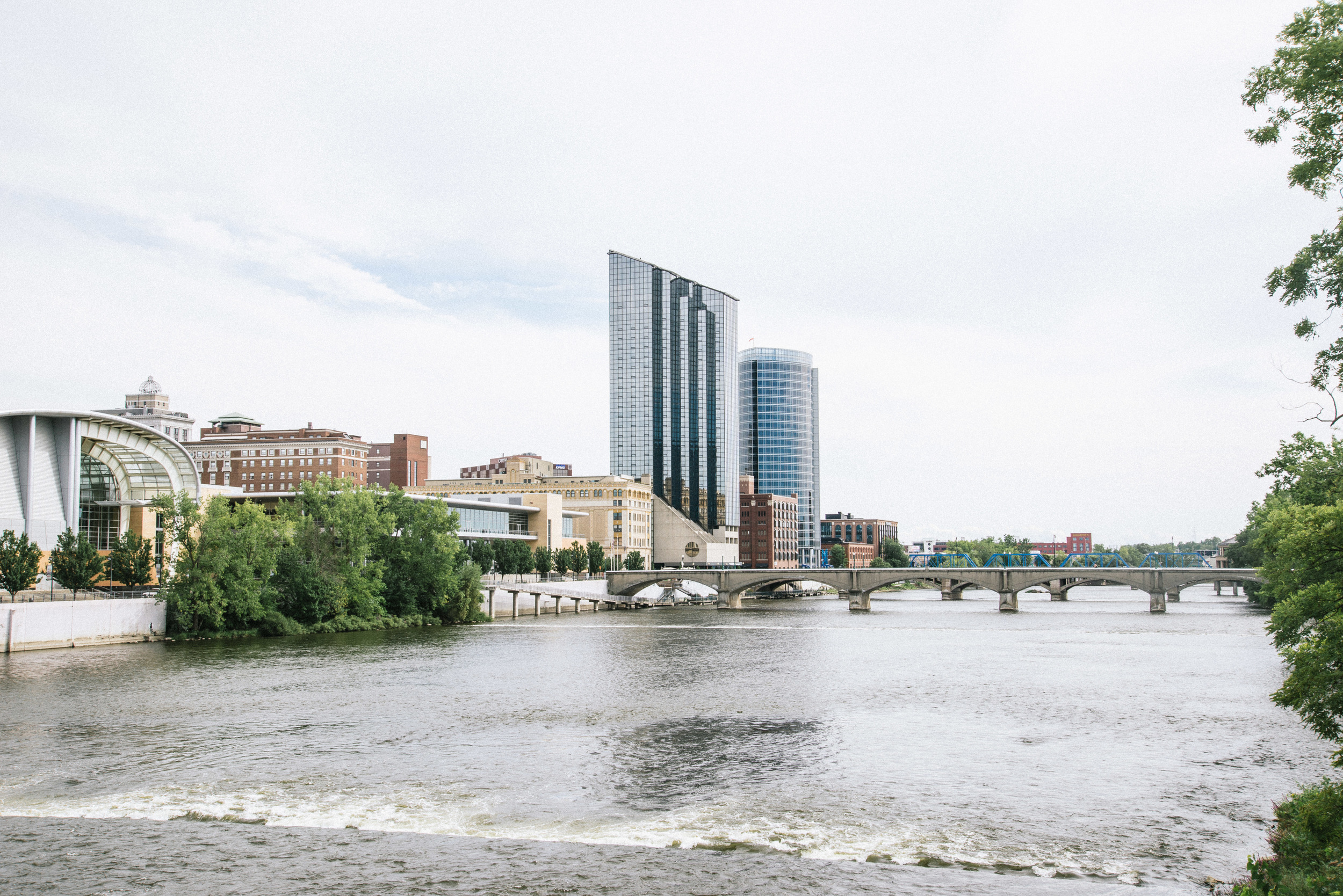
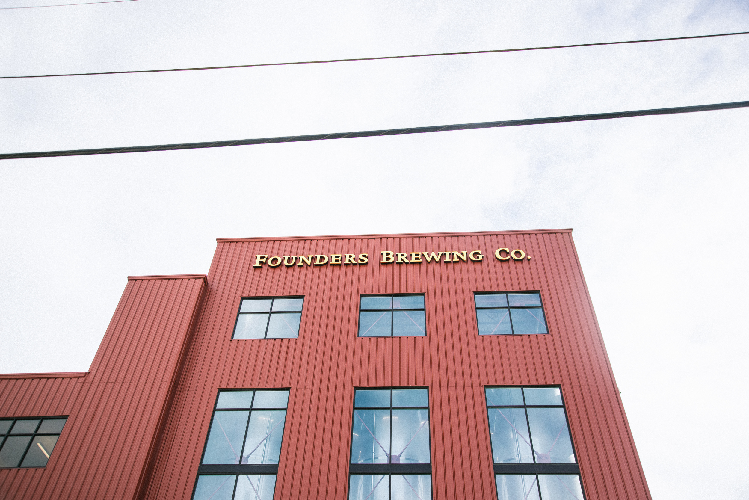
We then walked to the downtown area. We found a bright and joyful wall mural, interesting churches, big glass buildings with amazing reflections and a riverside park with great views of the city. We stopped for our obligatory cup of joe at Madcap Coffee, with its minimalist designs and efficient staff, before moving onto what I had been looking forward to the most: a visit to the now legendary Founders Brewery. A few months before I had sampled my first Founders IPA in bar in Finland and was blown away. Now I was at the source. We passed on the brewery tour due to money and time constraints, but had a great pint in the brewery bar. 


In the evening we were taken out by our hosts for an Ethiopian meal at a local place which I would have walked straight past due to its unpromising exterior, but this is where it pays to know locals. The food was top class, leaving me wished I had something so cheap but so good round the corner from me in Iceland..

Philip shared with us his incredible documentary about the village of Flateyri in Iceland which was a joint production with his wife Loralee, who is also an uber-gifted artist, and whose paintings adorned the walls of their east-side apartment. 

You can check out the film here on Philip's website: http://www.stonekeyfilms.com/ 

And please check out Loralee's artwork too here: http://loraleegrace.tumblr.com/

After a wonderful two nights with our new friends, we headed back to Ohio, but taking a significant detour to pop over to see the Lake Michigan coast on the west side of the state. (The east side borders on Lake Erie and Lake Huron while the North borders Lake Superior. In the words of a bumper sticker I saw recently- "Four out of Five Great Lakes prefer Michigan"). 

The nearest point to view the lake was at Kirk Park, directly west of Grand Rapids. The park is set on a steep bank descending to a beautiful small sandy beach where you can feel the warm sand around your toes as the tide laps gently towards you. Lake Michigan is certainly a lot bluer than Lake Erie, and at least at this point, feels more remote and less industrialised. We wished we had time to stop here all day, but unfortunately had to make the return trip after a few hours.

After a long five or six hour drive back, through the wonderfully named Kalamazoo where we unsuccessfully tried to find coffee and Jackson where we unsuccessfully tried to find good food, we made it home late. The next morning we had to get up extremely early to take some of Jess's good friends to Detroit airport, back in Michigan once again. After getting confused with Highway junctions on the way back and accidently ending up driving into some kind of crime scene in Romulus, we made it back to Ohio where we were in time to see the sun rise over the Maumee River in Toledo and Perrysburg..


The third instalment of this blog series later this week will focus on a road trip down to the South of the USA, through Indiana, Kentucky and Tennessee.


Mid-West Photo Journal: Part 1, OHIO

Welcome to Part 1 of 4 photo journals from the Mid-West. Some of the photos featured here will be available for purchase soon on the website, once I have published the whole blog series.  I will keep you posted! 


Last September I flew out from Iceland on a long journey to join my girlfriend who was spending six weeks with her family and friends where she grew up in the Mid-West USA. Of all the incredible areas of the States I wanted one day to visit, the mid-west was not high up on my list. Well, I'll be honest with you. It wasn't even on my list. 

That said, one of the things that makes me most passionate as a photographer is documenting life and finding beauty wherever I go. It's easy to get a great shot of a famous mountain or a waterfall, but the reality is the moment is normally shared with hundreds of other people spilling out from tour buses and hire cars, cameras jostling for position. On the other hand, to seek out beauty in the back lanes of the flat-lands of Ohio and Indiana or the cities of Michigan means I start to come into my own, switching on my photographer's sixth sense to find excitement in architecture, cornfields, forgotten alleys, quirky houses, fascinating people. 

This blog will be in four parts, and is my photographic perspective of three weeks spent driving around the places outside the tourist guidebooks, but finding much beauty in the process. 

This first part of the blog is focussed on Northwest Ohio. Jess grew up in a small, pretty town called Elmore which sits unobtrusively in the midst of endless cornfields. I was kindly hosted by some of her good friends in the nearest large town, Fremont, a twenty minute drive to the south east. Fremont is an unassuming place, home to around 16,000 residents, a similar size to the town I grew up in England. It's main claim to fame is that it was home to a former president of the USA, Rutherford B. Hayes. He was president in the late 1800s, during the time that Queen Victoria was on the throne in Britain. It's other claim to fame is that it is home to the world's biggest ketchup factory (Heinz of course). 

The day after I arrived, I found myself with time to kill so I decided to walk around and photograph the town. One of the first things I noticed was that, despite being a Saturday, I seemed to be the only one walking. I found out later that unbeknown to me, my arrival had already been noted by friends of friends, as nobody really walks around Fremont, especially slowly and holding a camera, without arousing curiosity.  I arrived very quickly at the small "downtown" area (when you consider that Manhattan also has a "downtown", the word can seemingly be interpreted very widely). I still get fascinated by certain street features that Americans must not think twice about- the proudly flown Stars and Stripes nearly every direction you glance, the traffic lights hanging from wires, the wide streets, the bold announcement of every slightly interesting (and even not very interesting) facts about each city or county. All of these features were there in abundance in Fremont.

The main street (what I would call a "High Street" in England) is Front Street. It's one of those wide main streets lined with red brick buildings and shops which seemed very familiar from so many movies. I later realised that nearly every mid-west town has one, but the novelty hadn't worn off when I took these shots. I was particulary drawn to the the cute little cinema, with the film announcement board making it look positively 1950s, and also a group of men drinking around a picnic table in the middle of the street. 

Just round the corner, the even wider State Street forms part of US Route 20, which at 3,365 miles is the longest Road in the USA, reaching from Boston in the east to the Oregon coast in the west. This is a drive I would love to do someday. 

Finally I wandered back to my guest room via a few back streets. I noticed a beautiful but very patriotic looking house which typified my view of small town America, saw some churches worthy of an old English city and discovered the "Northcoast Inland Trail", a 270 mile walking and cycling path still being developed which will eventually connect Indiana with Pennsylvania. The Fremont section runs along a disused railway line..

The following day, Jess took me to one of her favourite NW Ohio haunts, Marblehead. Marblehead State Park has to be one of the tiniest state parks anywhere in the States, and sits on a peninsula jutting out into Lake Erie. The Marblehead Lighthouse is the oldest in continuous operation on the American side of Lake Erie and its a pretty and peaceful spot despite the number of tourists gathered at its base. We sat on the rocks for a while water splashed over the rocks beneath our feet, staring out into the misty horizons beyond which laid the vastness of Canada. 

We headed back to Jess's home town through the ripe September cornfields that characterise this part of Ohio...every road feels like a scene from any road trip movie you've ever seen..


The following day we set out for a three day road trip to the neighbouring state of Michigan. Please look out for the next blog about Michigan coming in the next few days!


Photographing Iceland's hippest summer festival

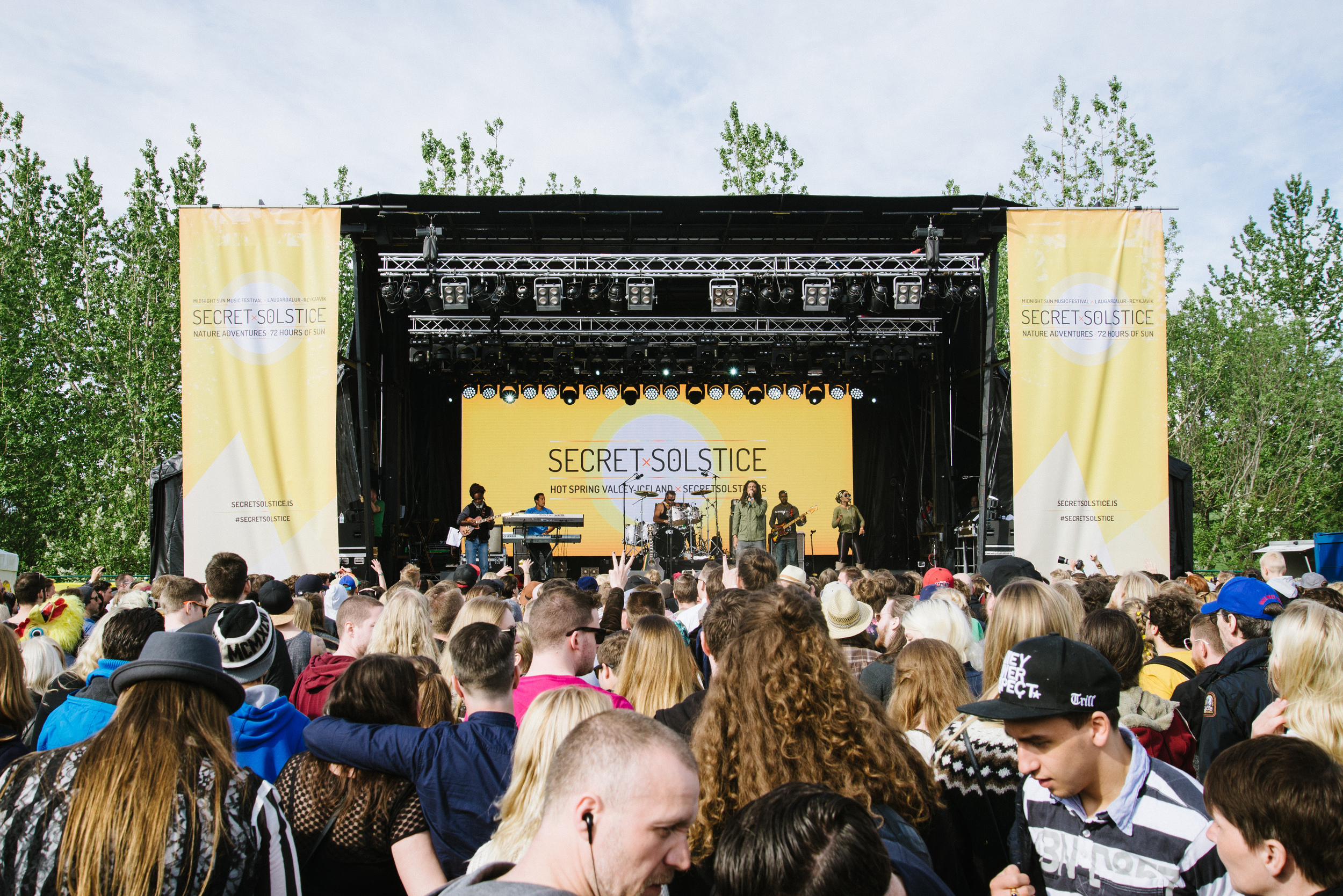
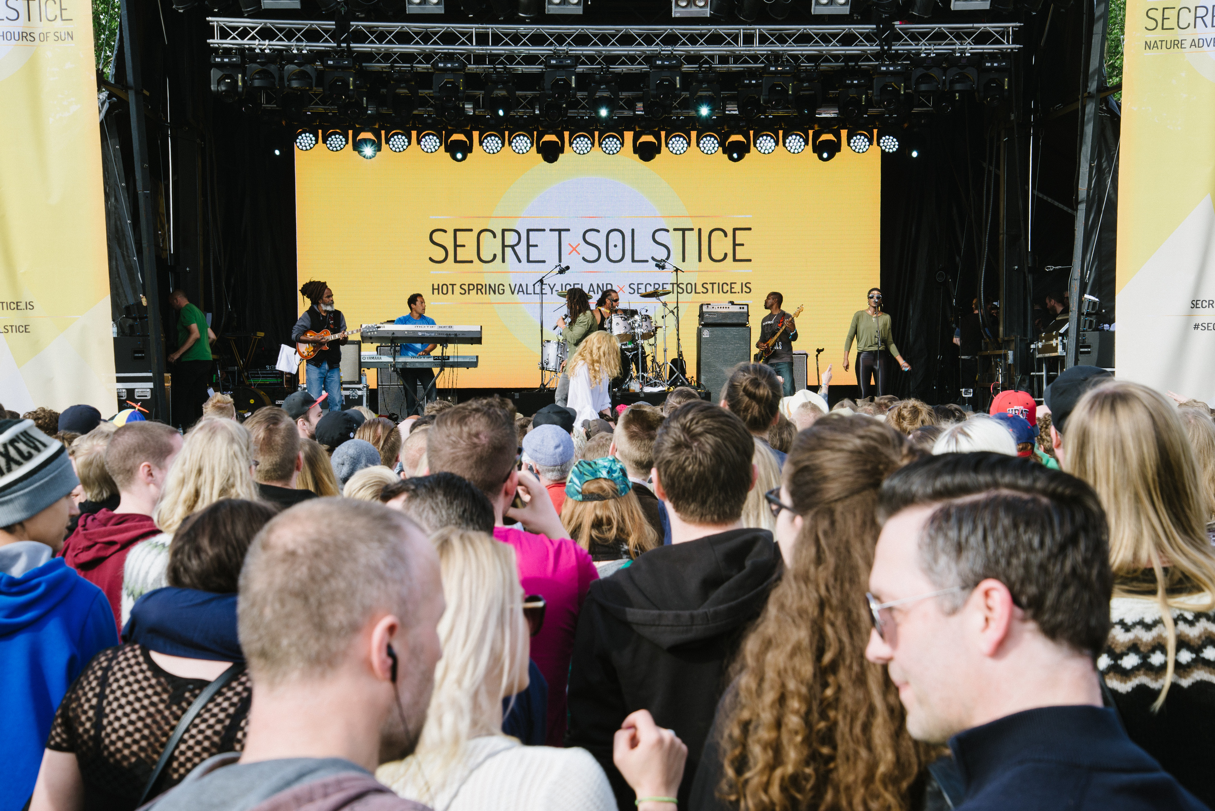
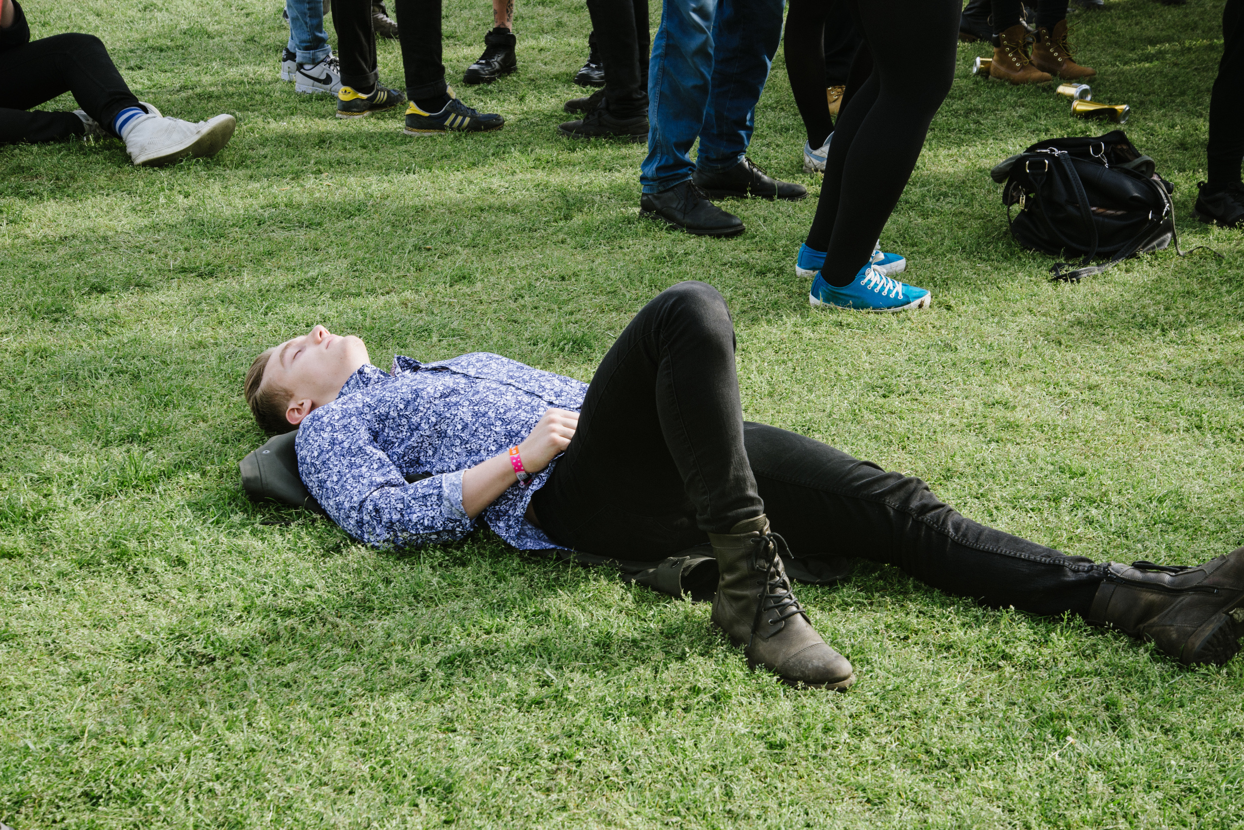
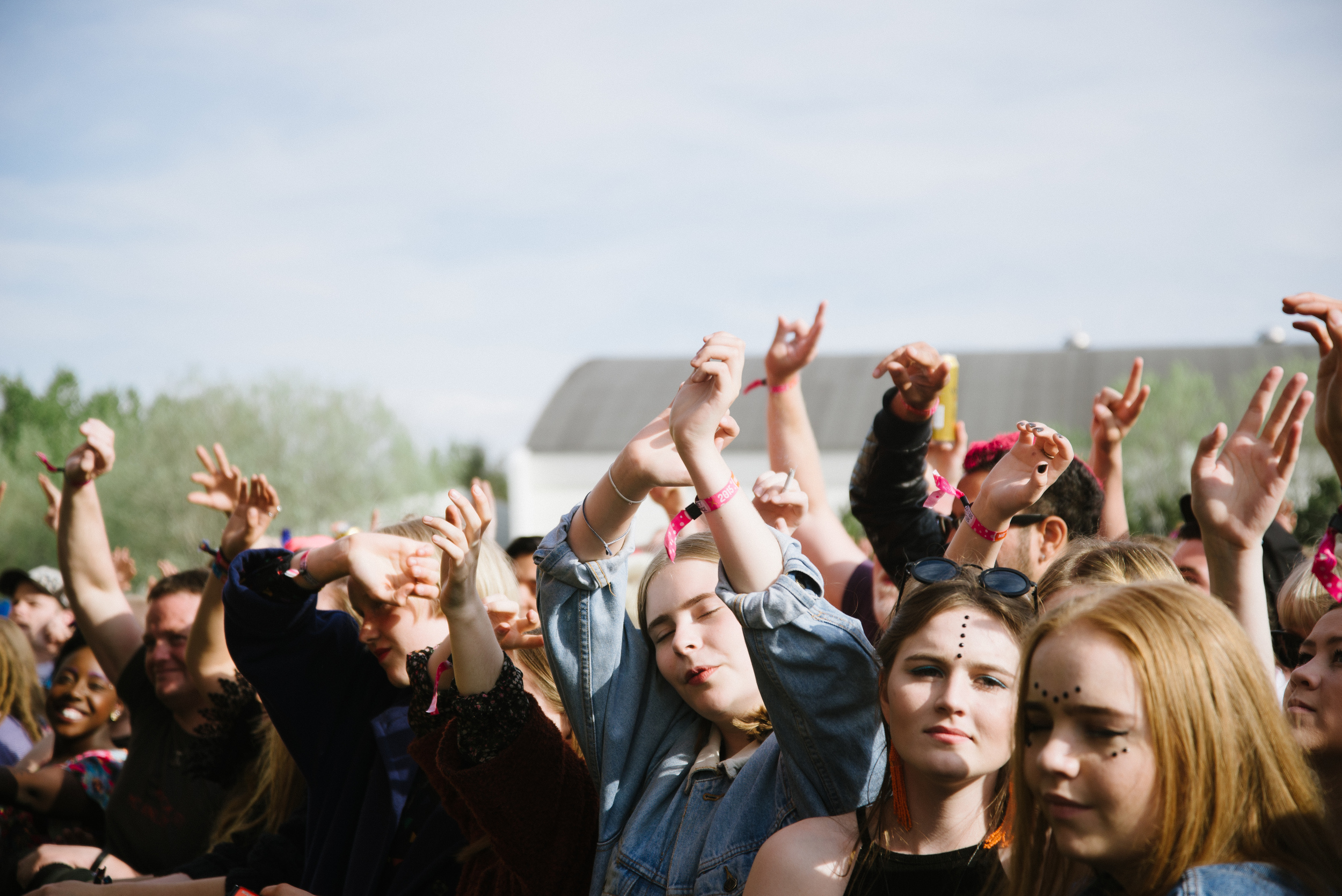
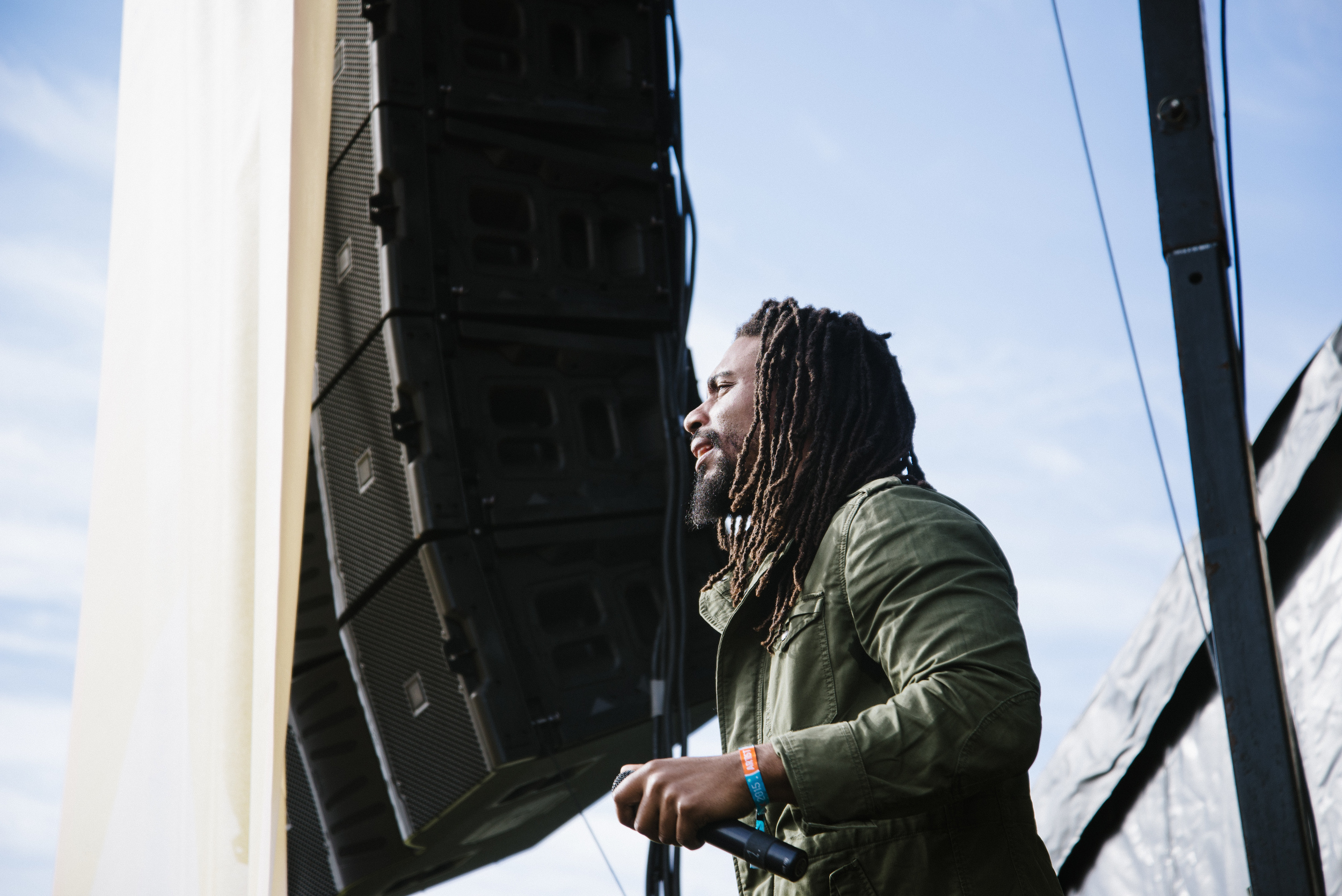
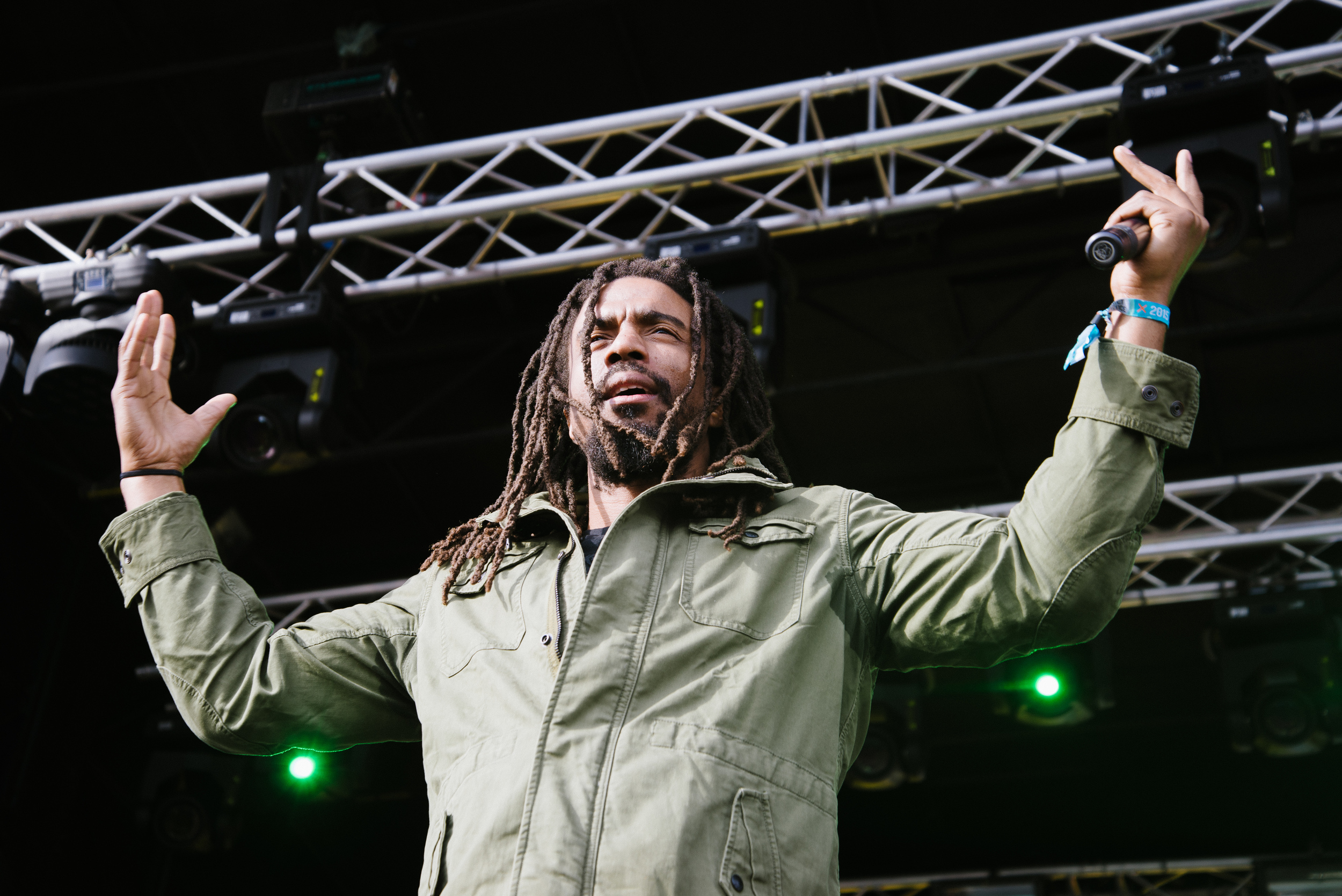
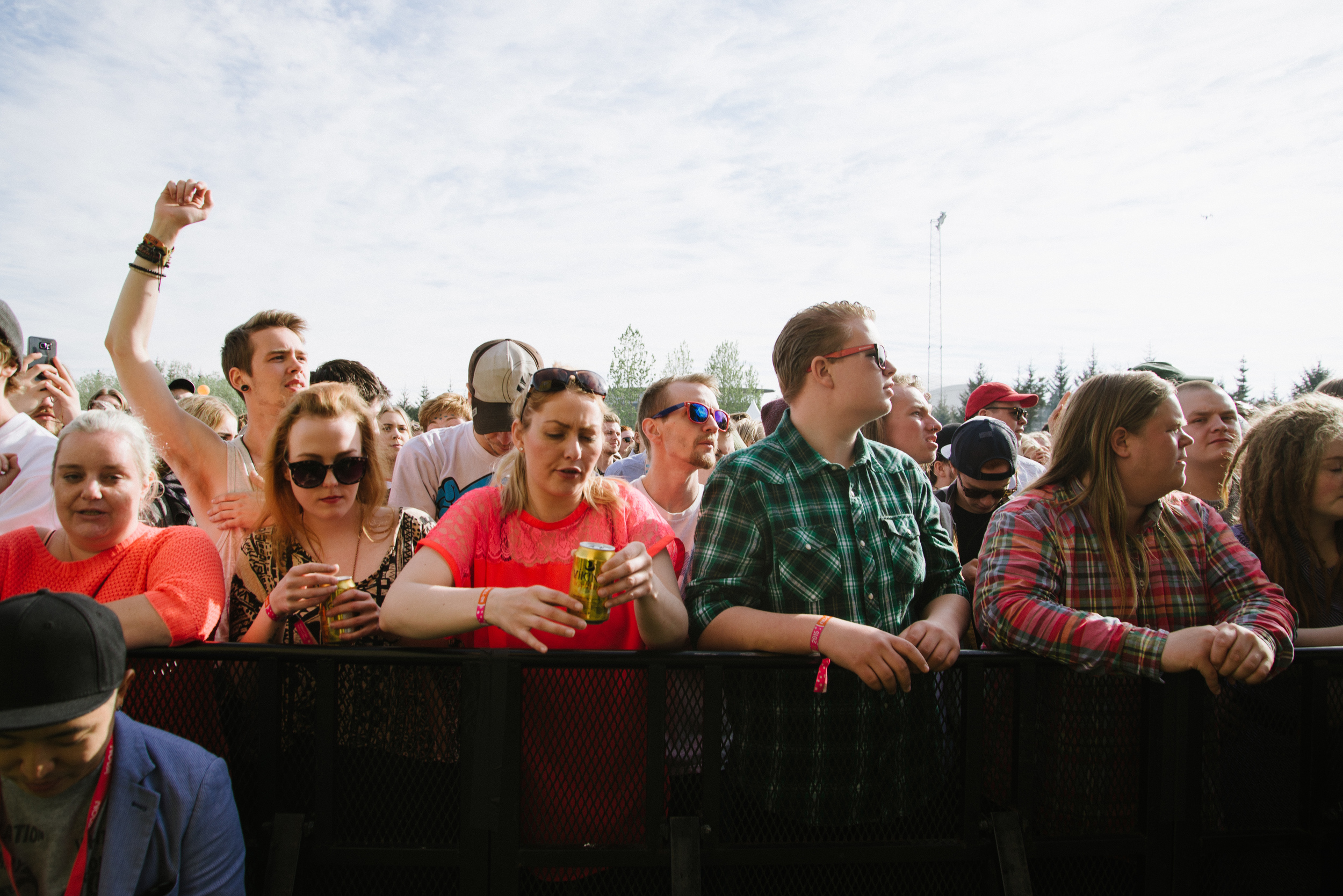
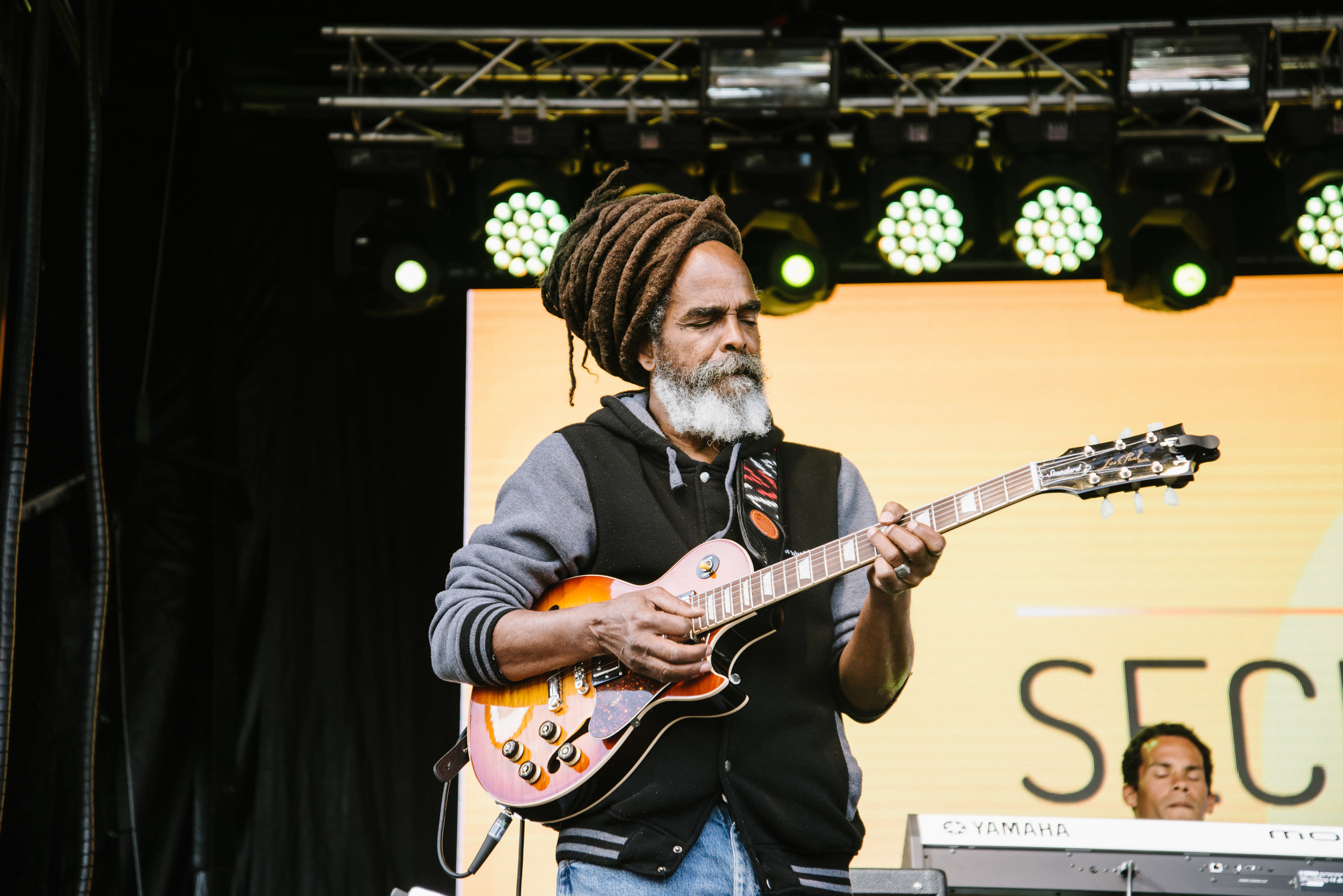
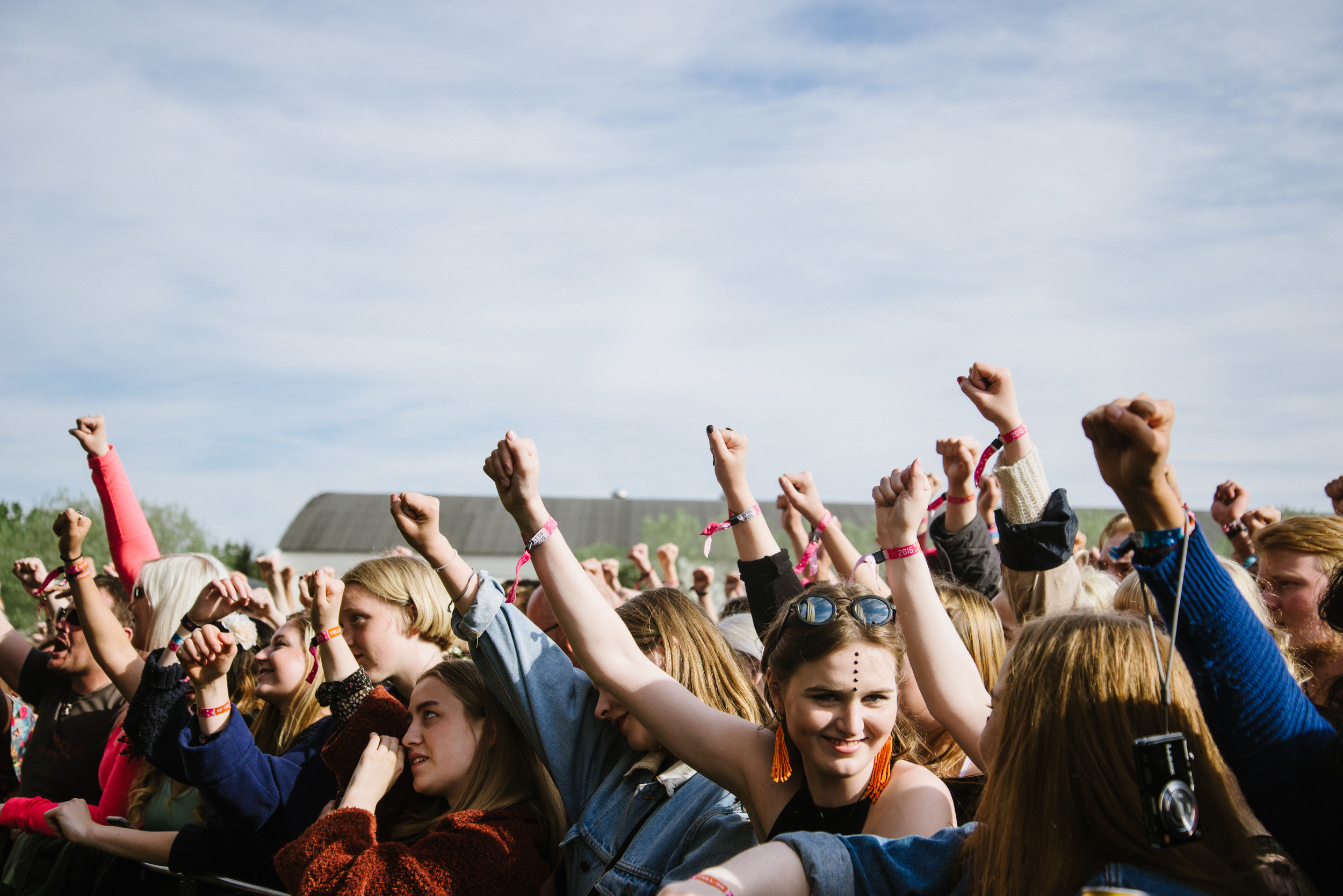
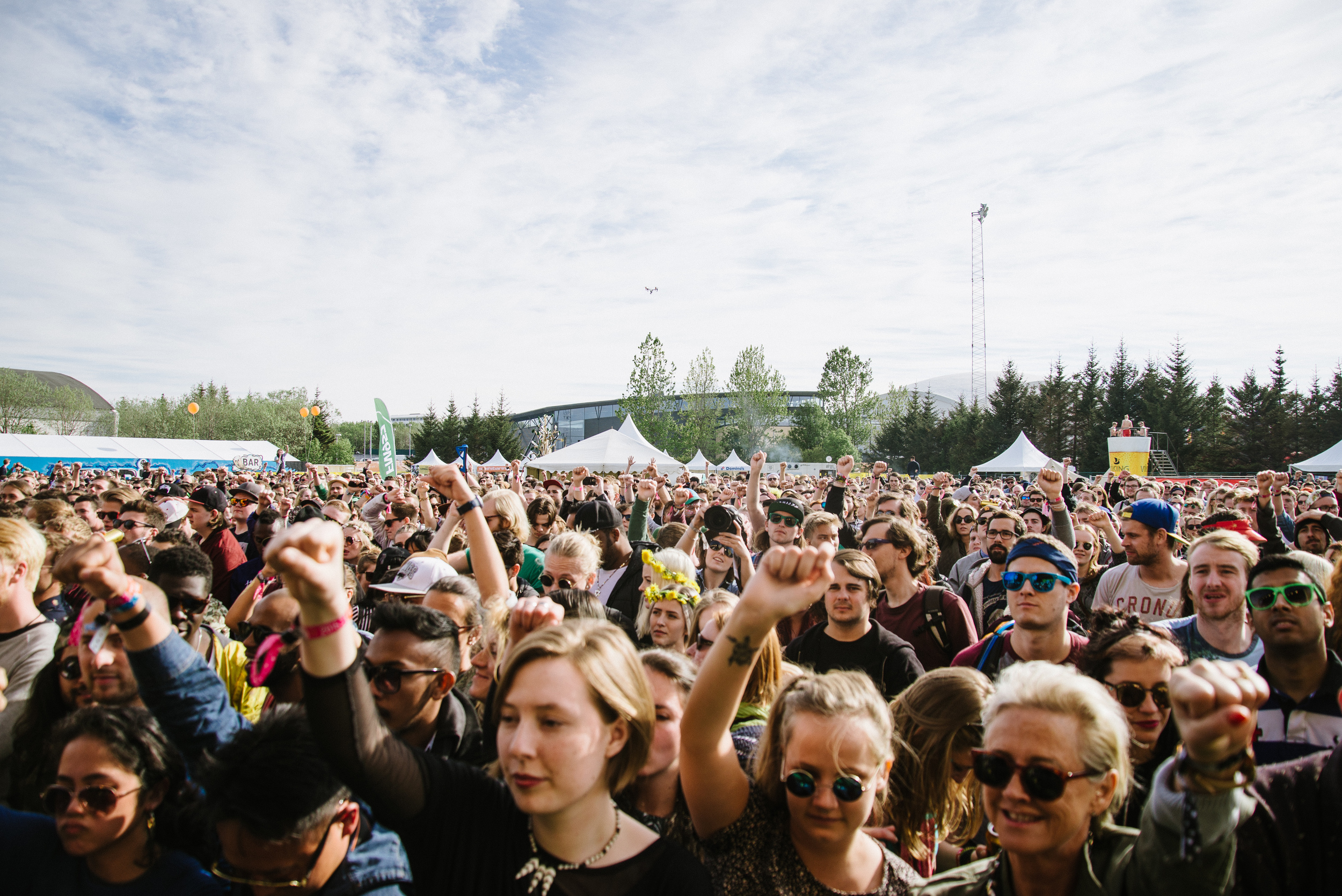
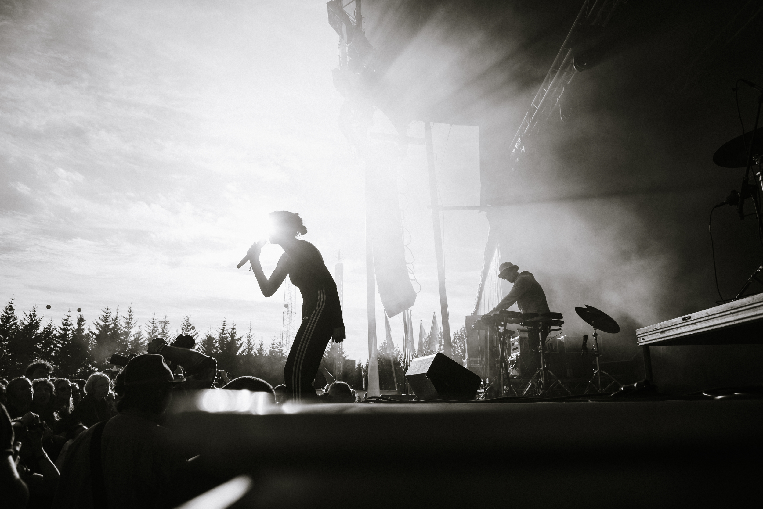
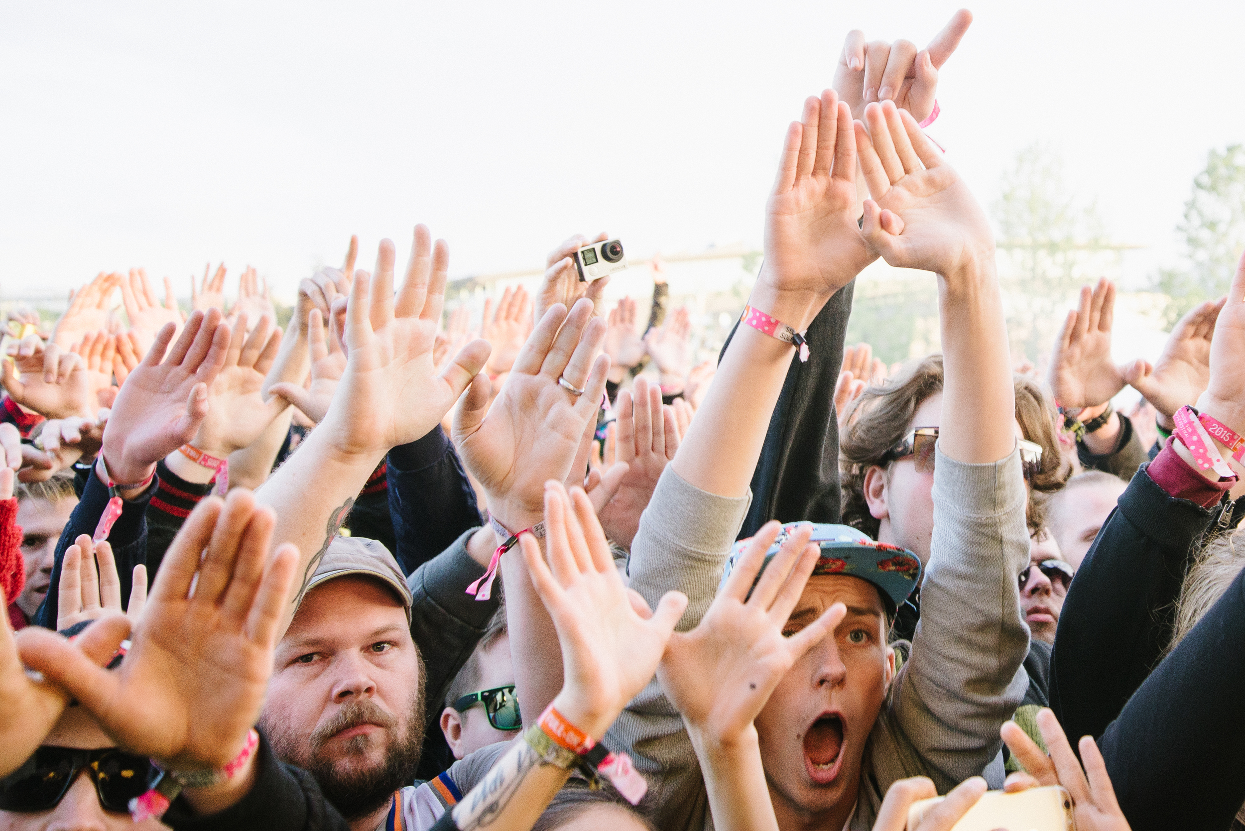
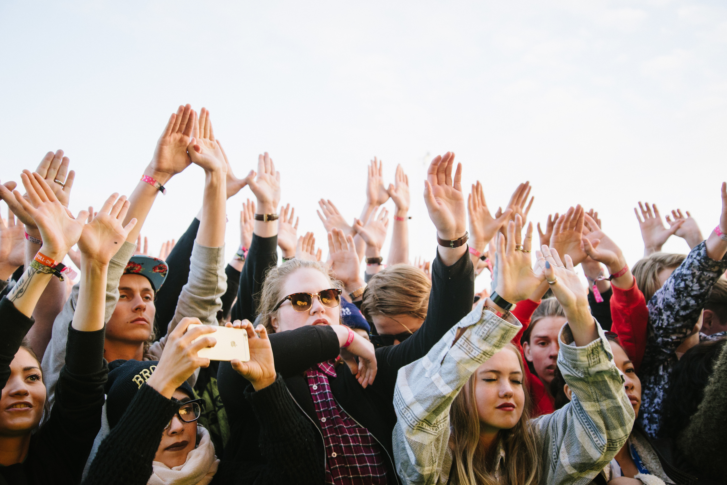
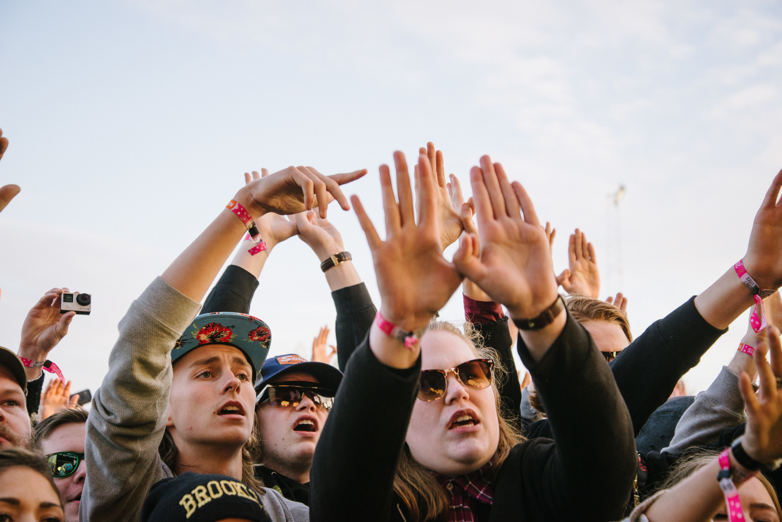
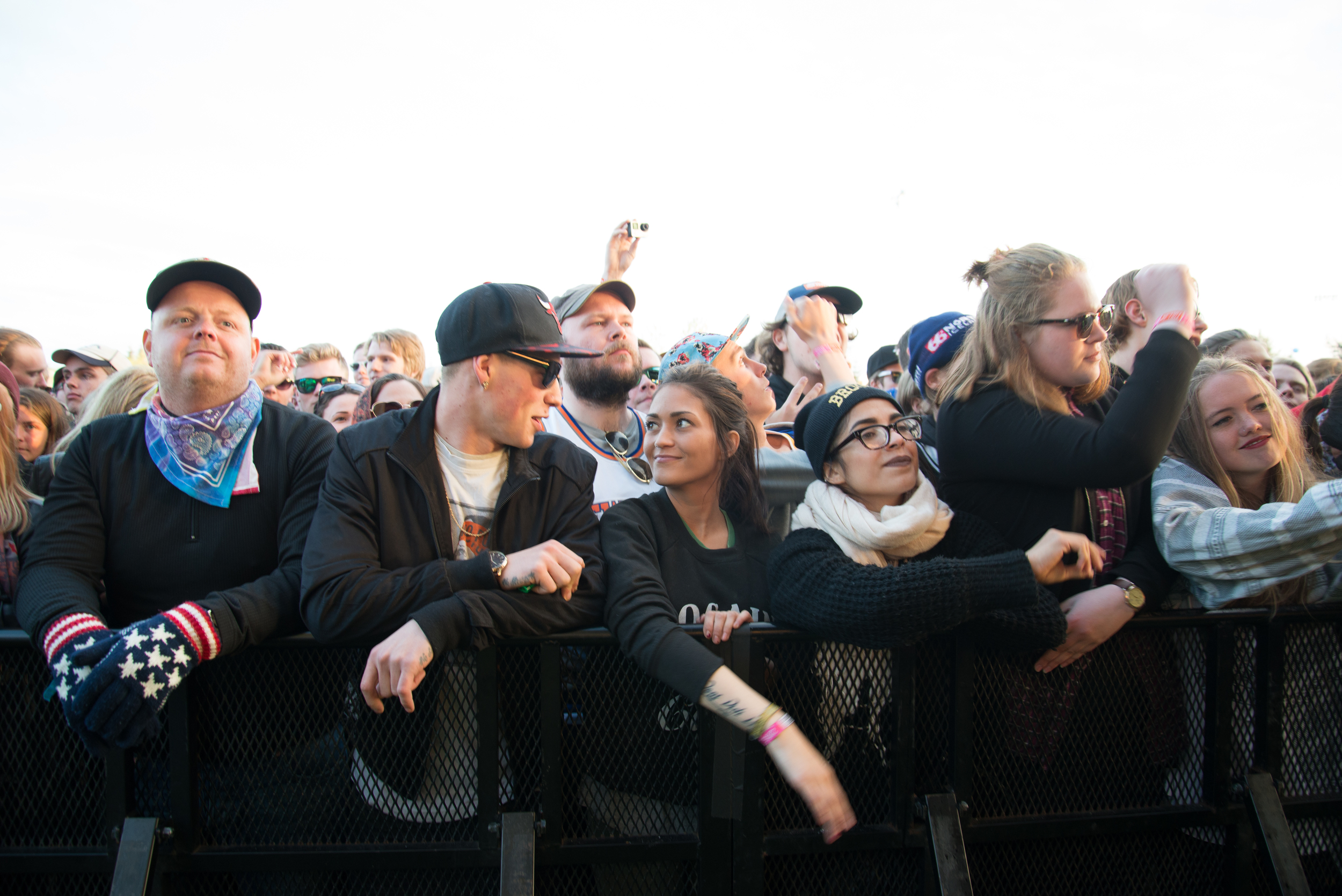
For the last two years I have had the pleasure of being a photographer at the Secret Solstice music festival. It began in 2014 on the longest weekend of the year in Iceland, where the sun barely dips below the horizon and the evening light continues until morning. The festival is an eclectic mix of international and Icelandic artists, but there are always one or two BIG names among more up and coming bands. The focus is more on electronic music. The first year we welcomed Massive Attack, one of my favourite bands from the 90s. Last year was The Wailers and Mo from Denmark, and this upcoming year we look forward to hearing the legendary Radiohead grace the stage under the midnight sun! 

I was only able to attend one day of the festival in 2015, but I am pleased to show you my favourite shots for the first time.

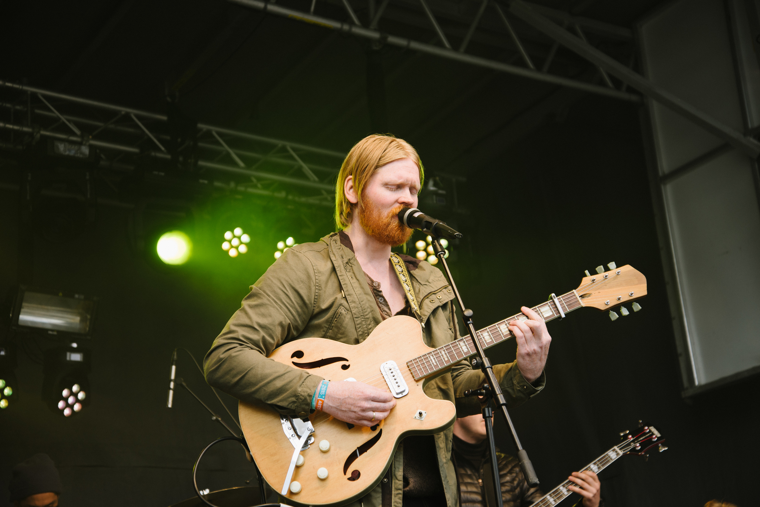
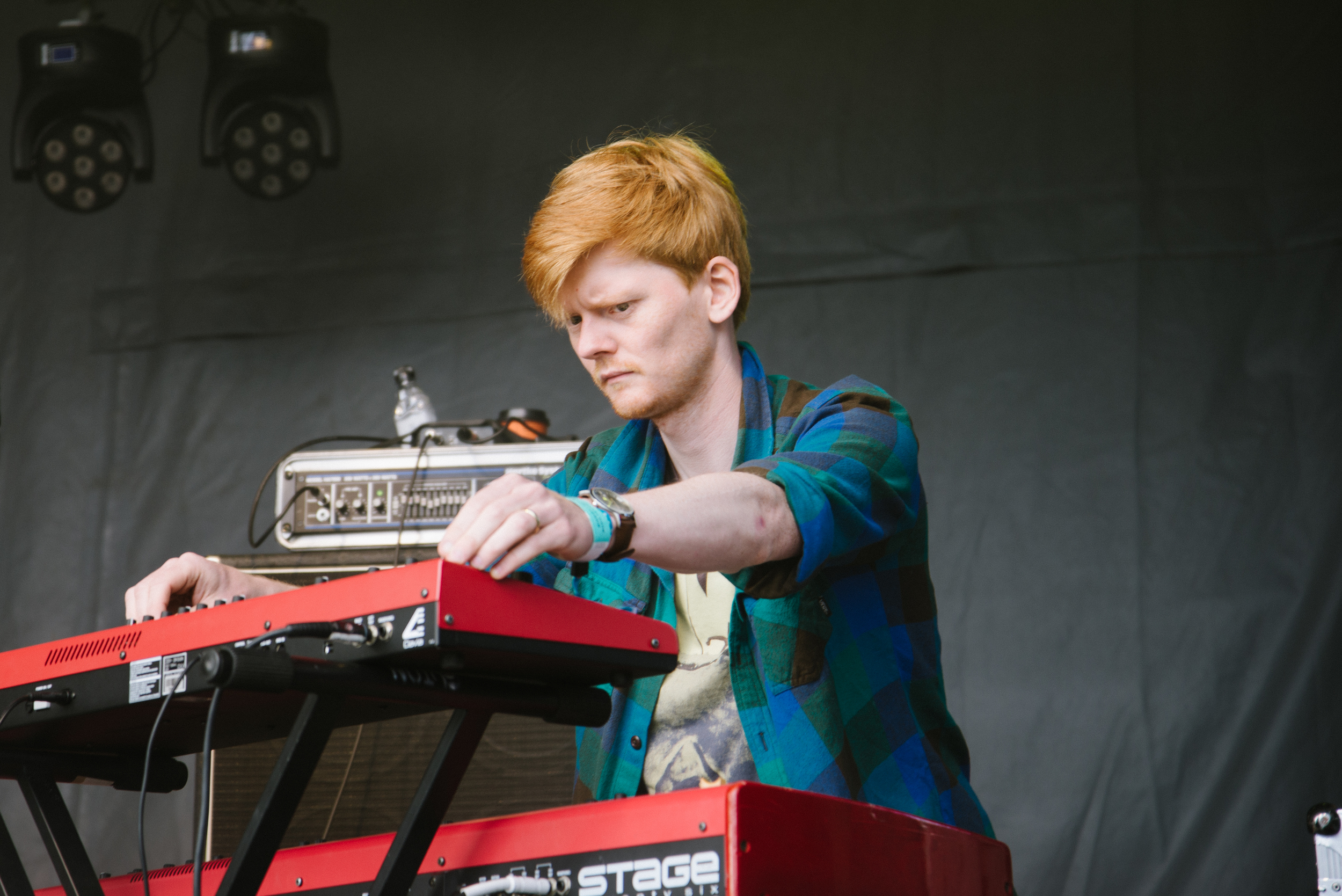
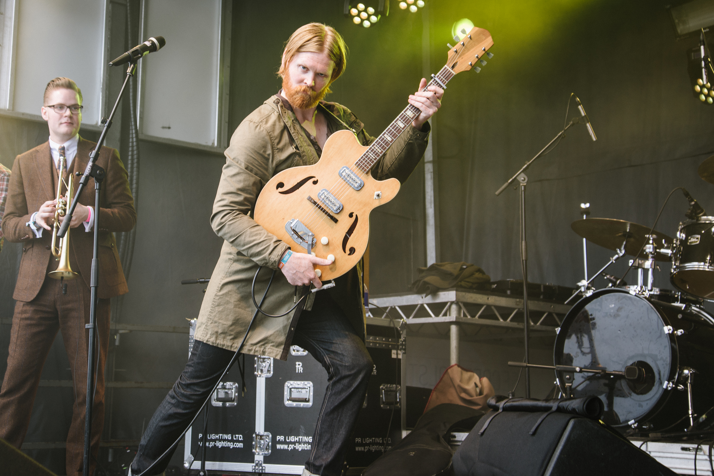
First up was my good friend Unnar Gísli Sigurmundsson, whose alter ago and band is the fast emerging Júníus Meyvant.

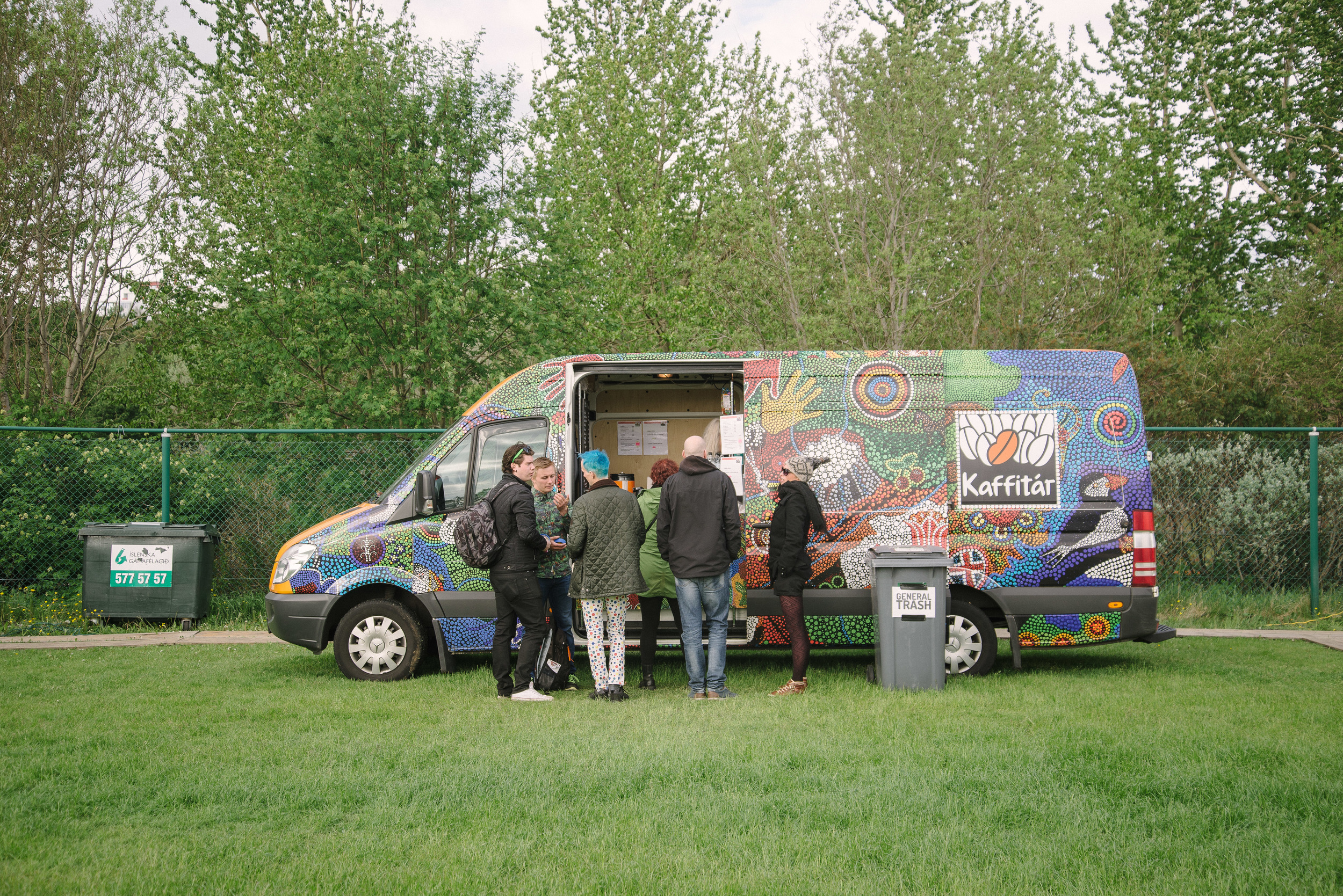
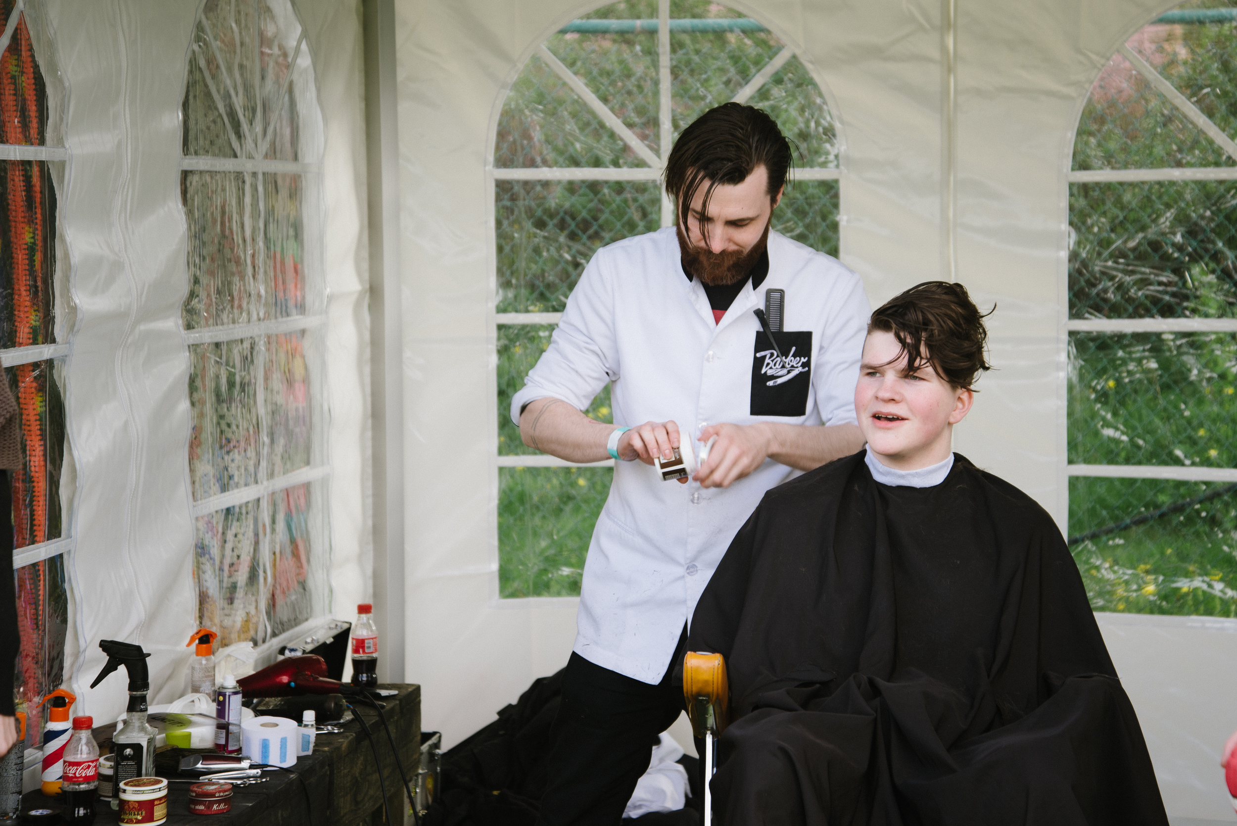
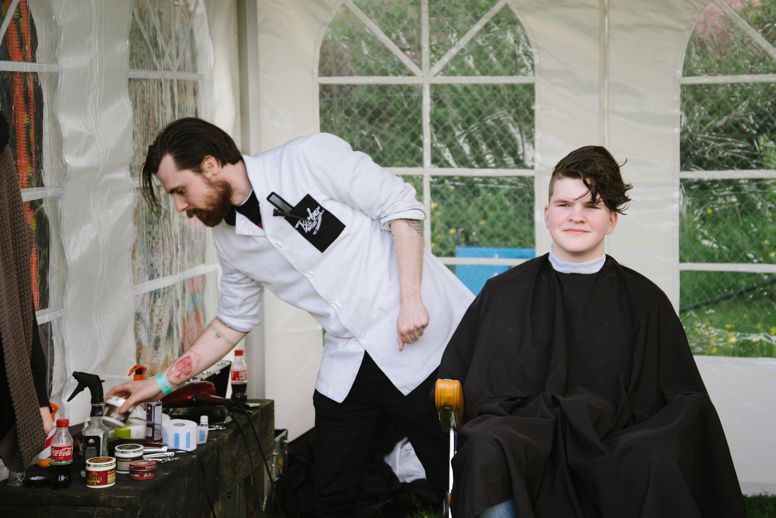
After this performance I decided to wander around the festival site to see what kind of food and sideshows were happening. As well as the usual coffee and sandwiches, there was the option of getting a festival hair cut too...

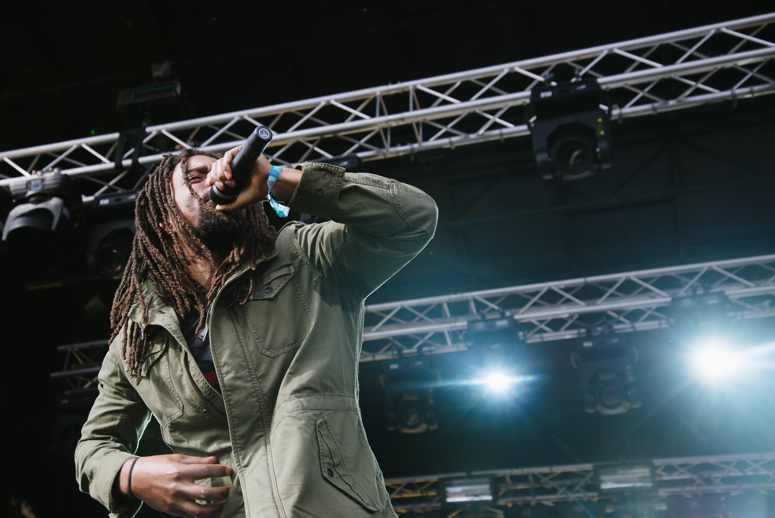
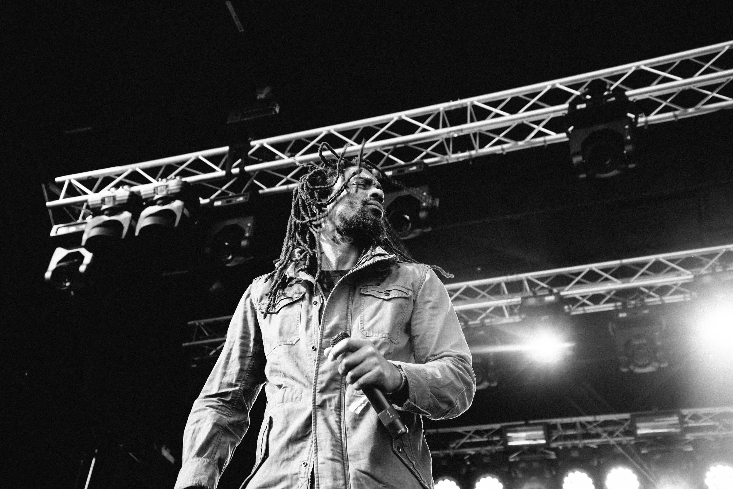
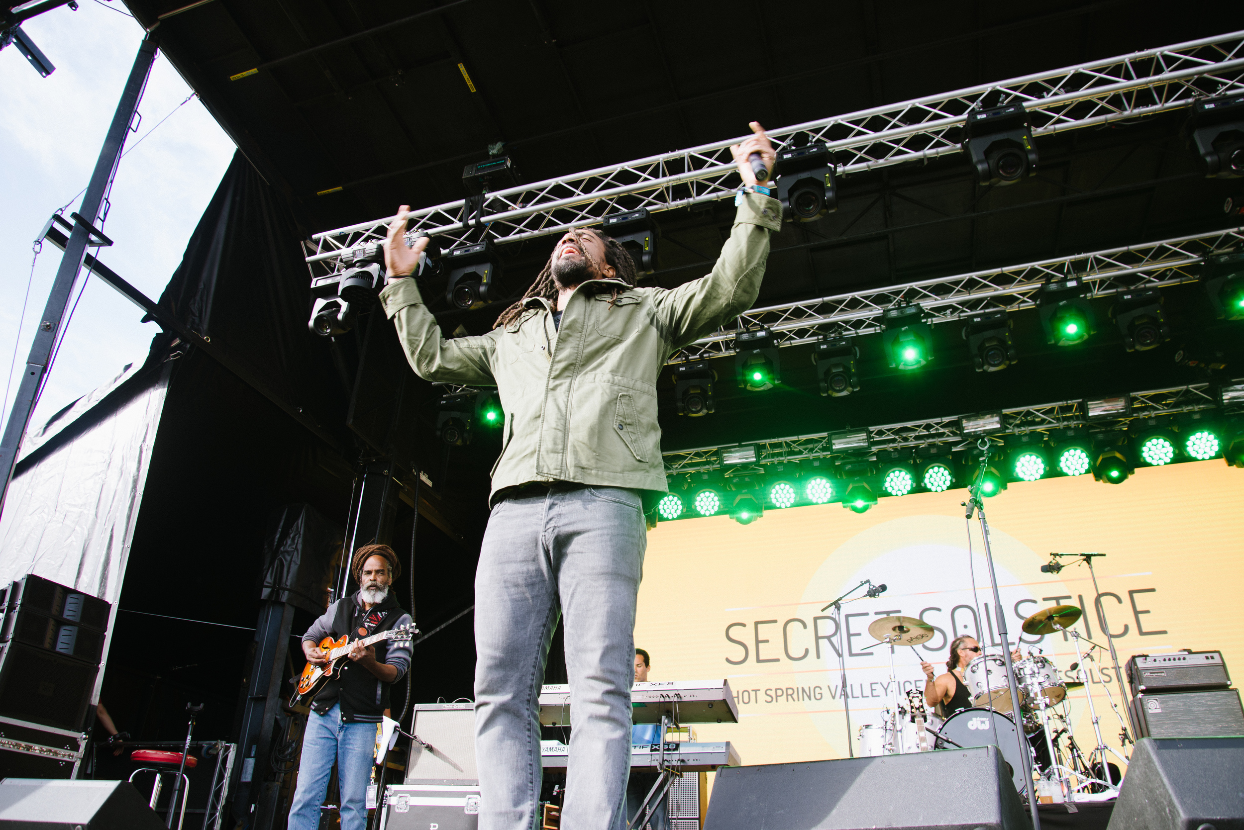
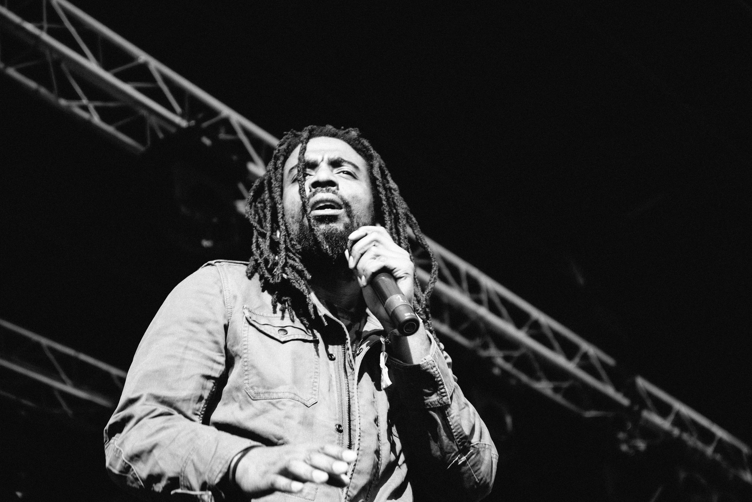
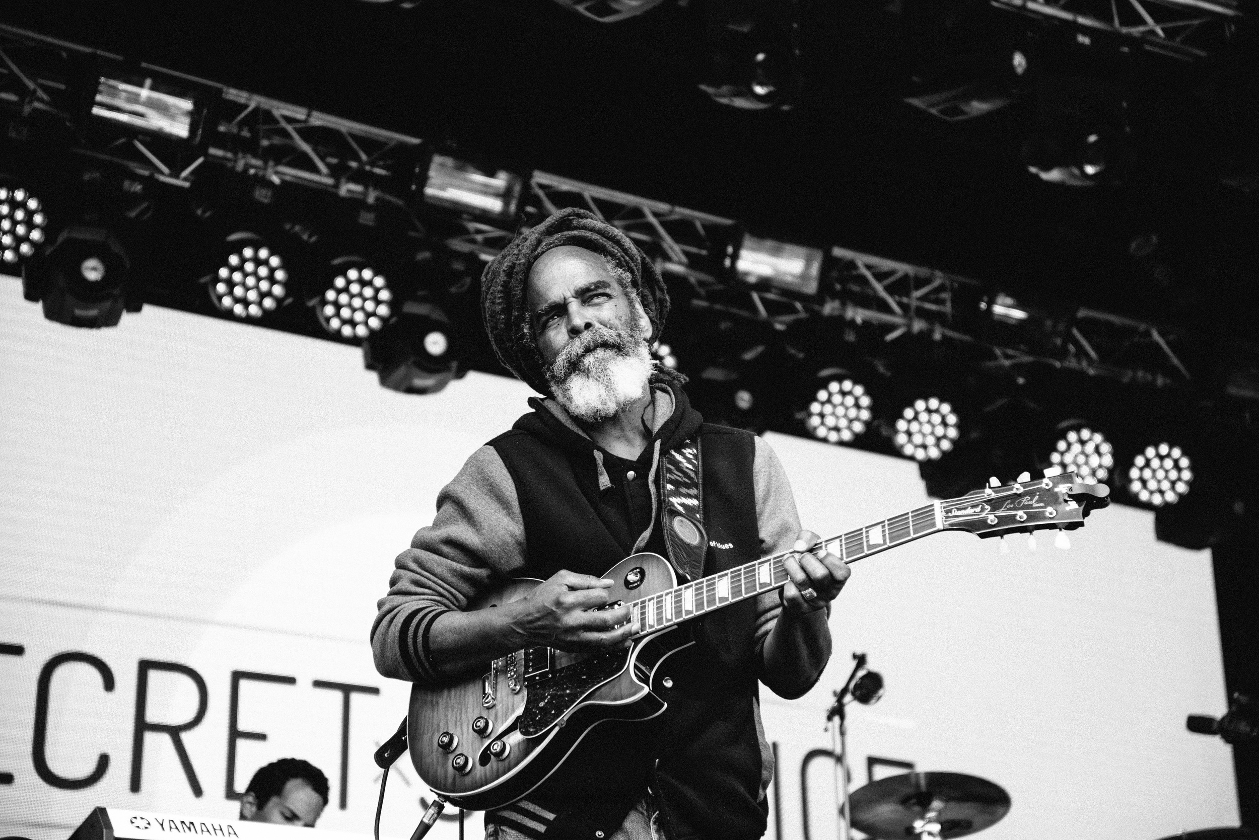
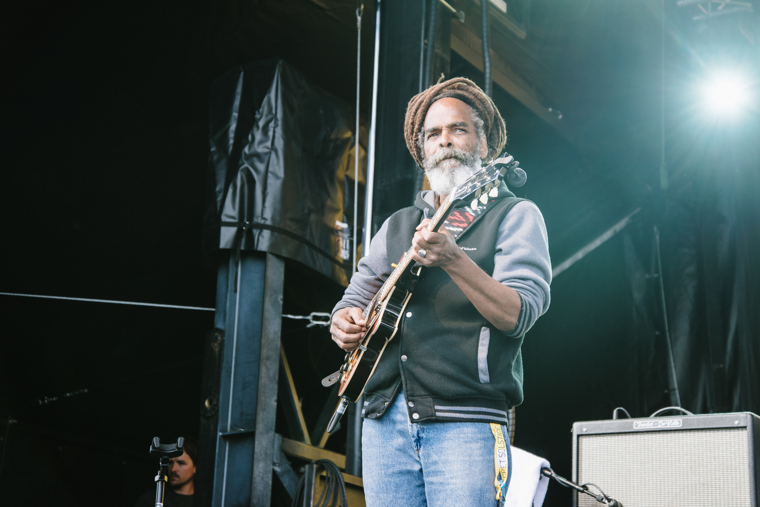
As I wandered around, watching people climb up a ladder to a precariously placed hot-tub on a tower, I heard a familiar reggae sound drifting into earshot. I realised that this was no mere Bob Marley cover band, but his own band, the Wailers themselves! I had somehow missed this on the programme so was super excited to get down to the photographer's area in front of the stage and snap some shots. 
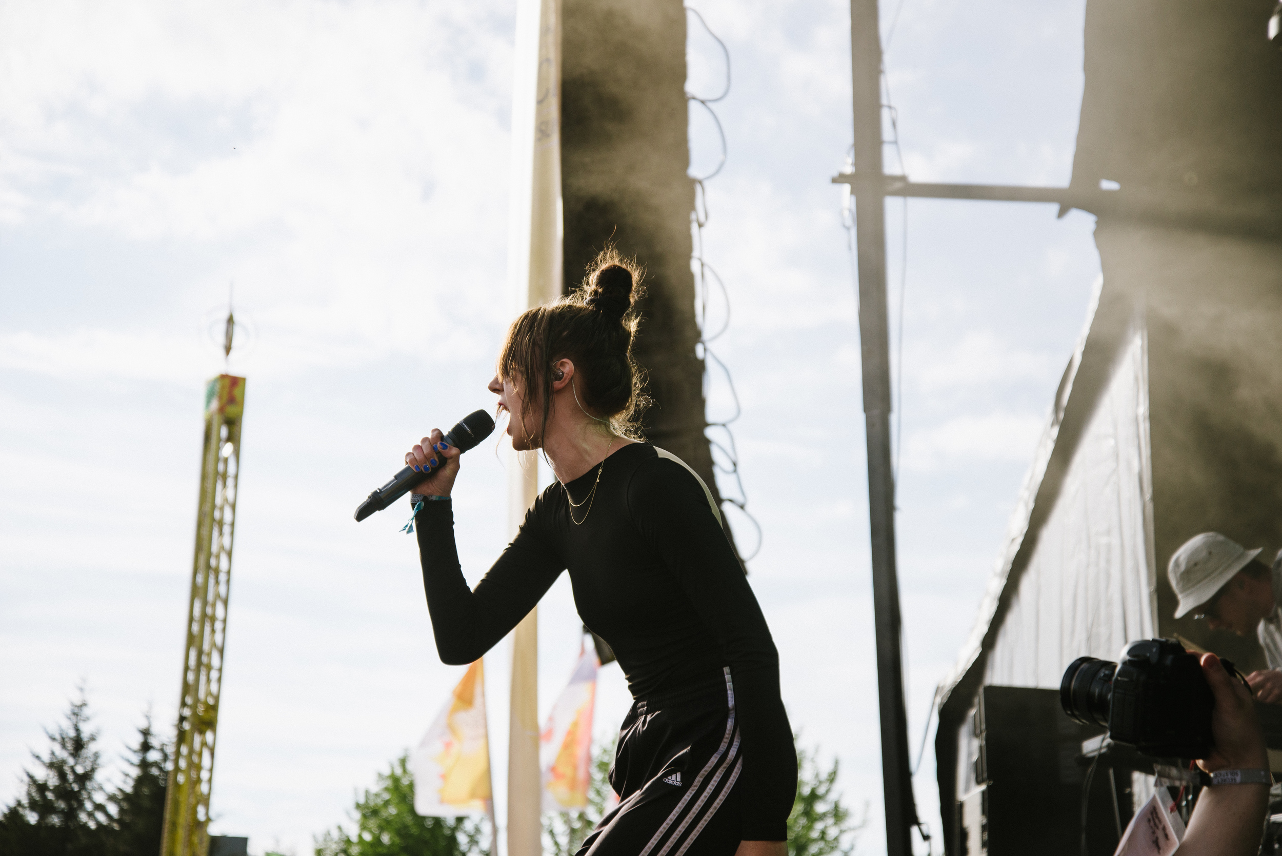
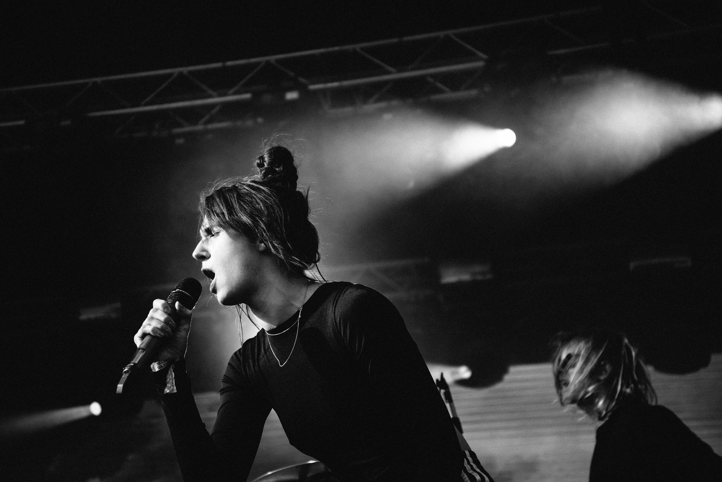
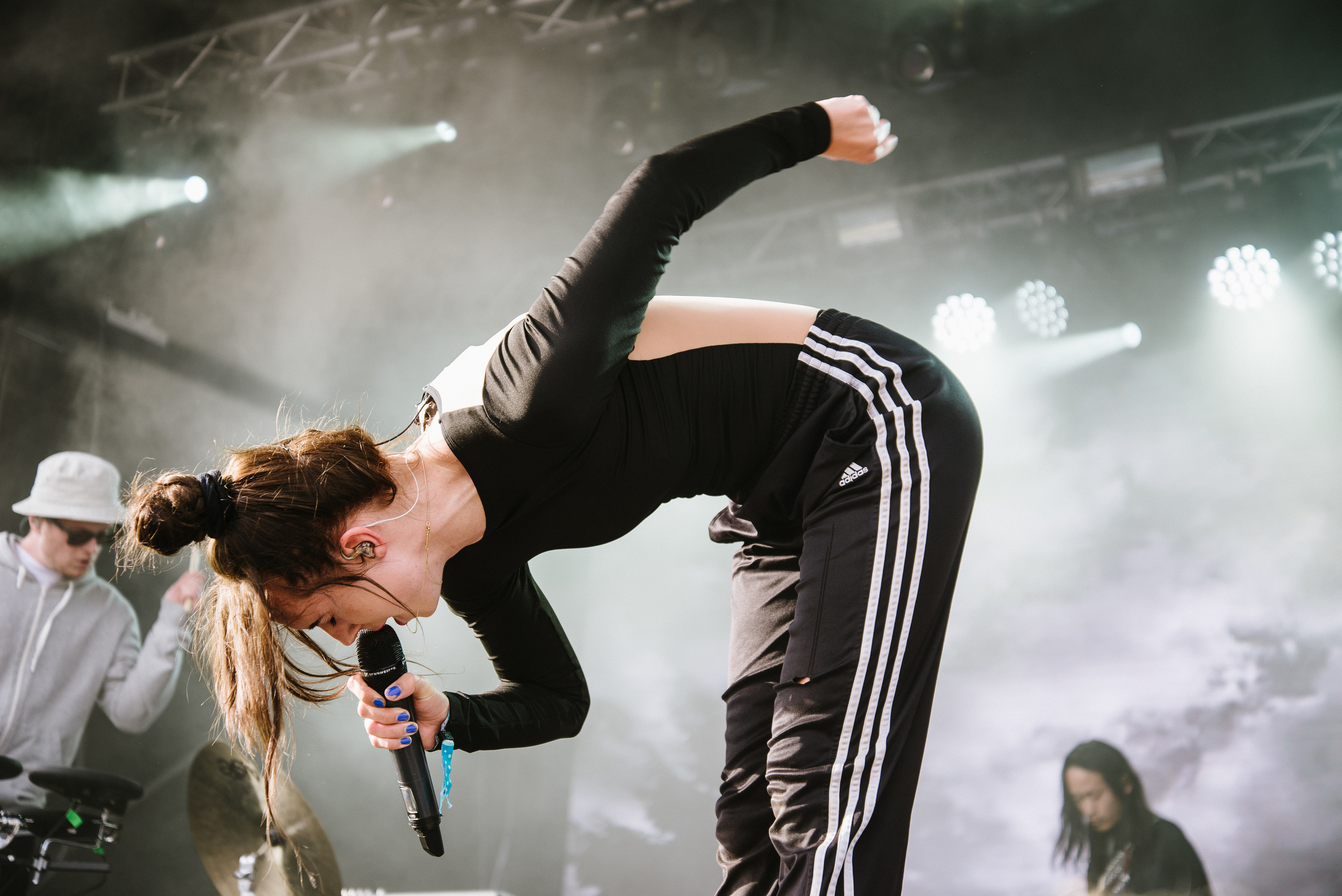
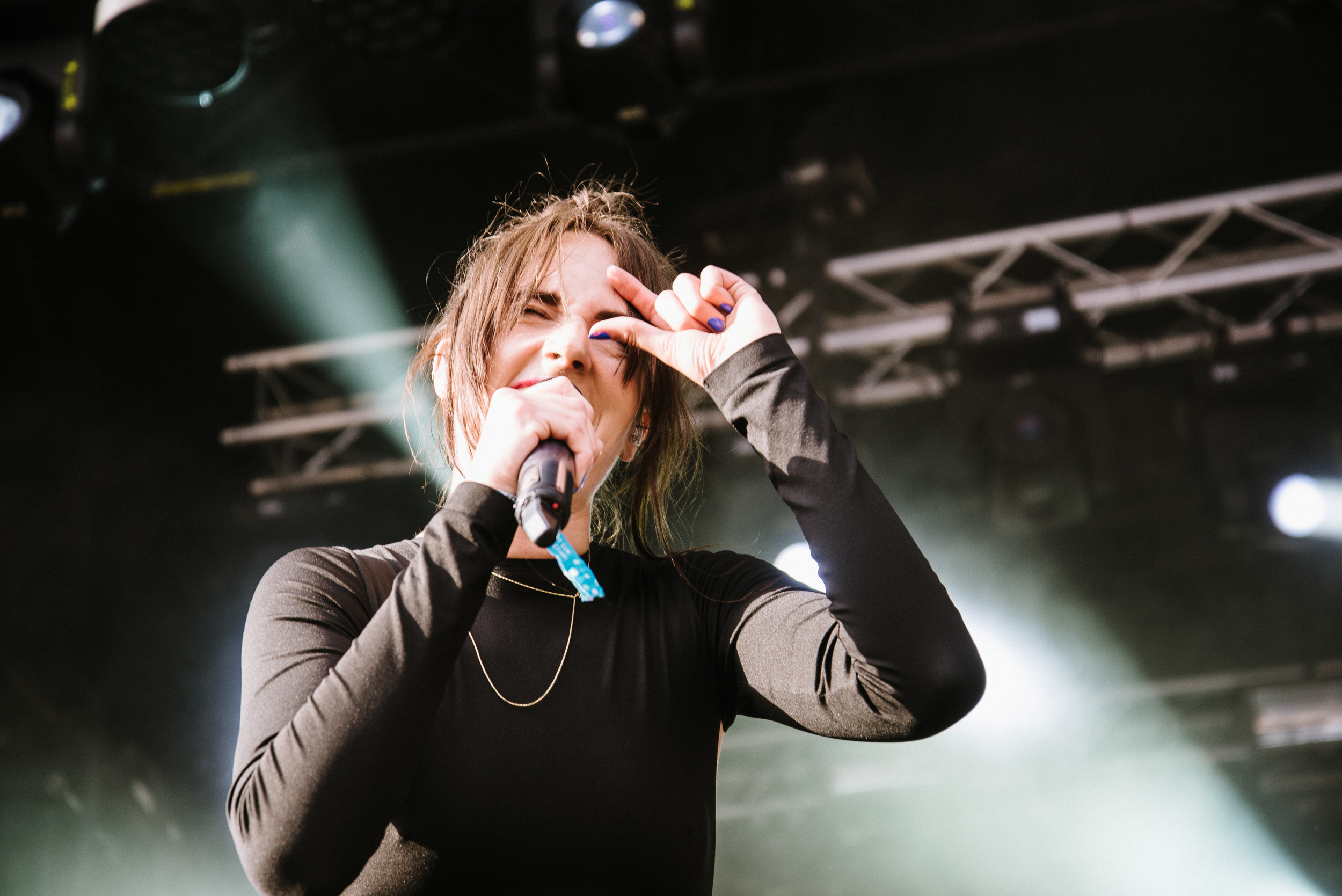
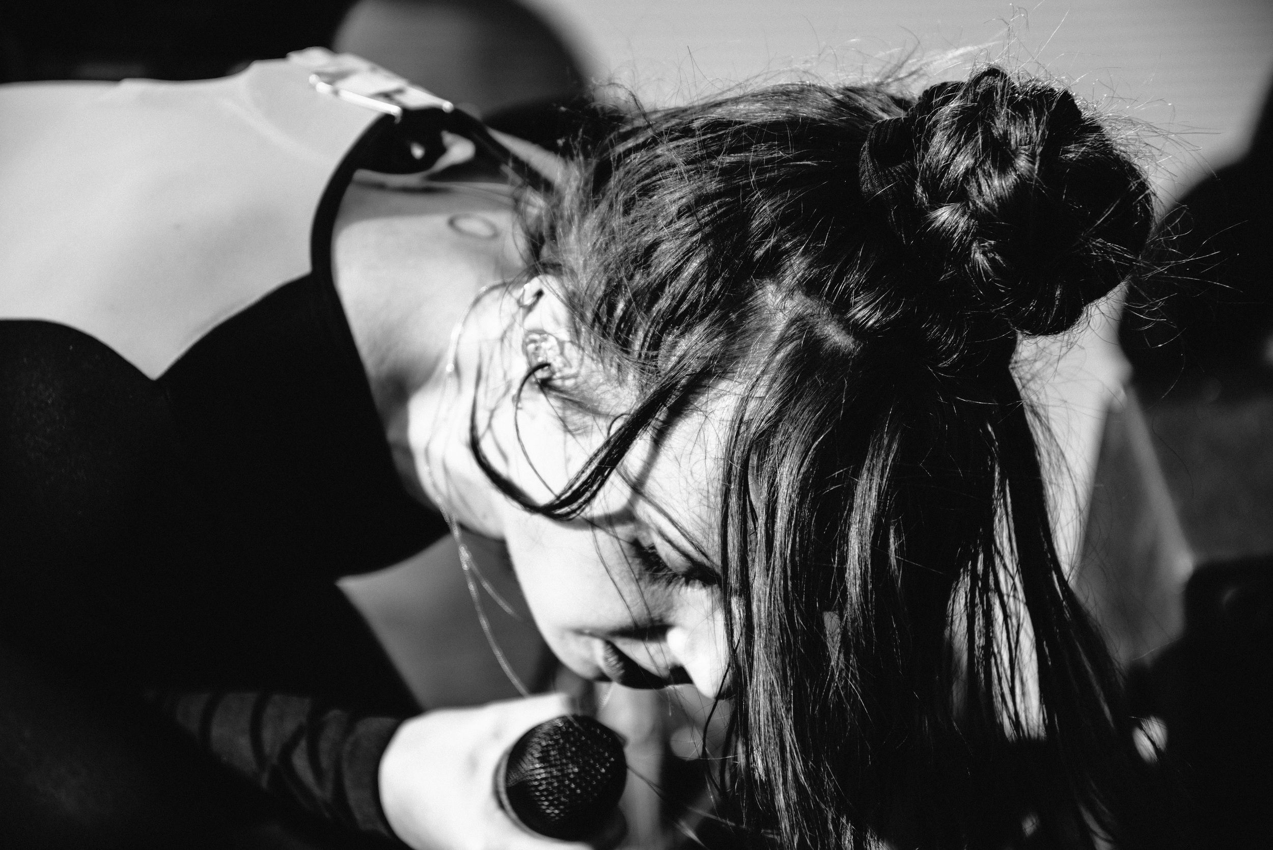
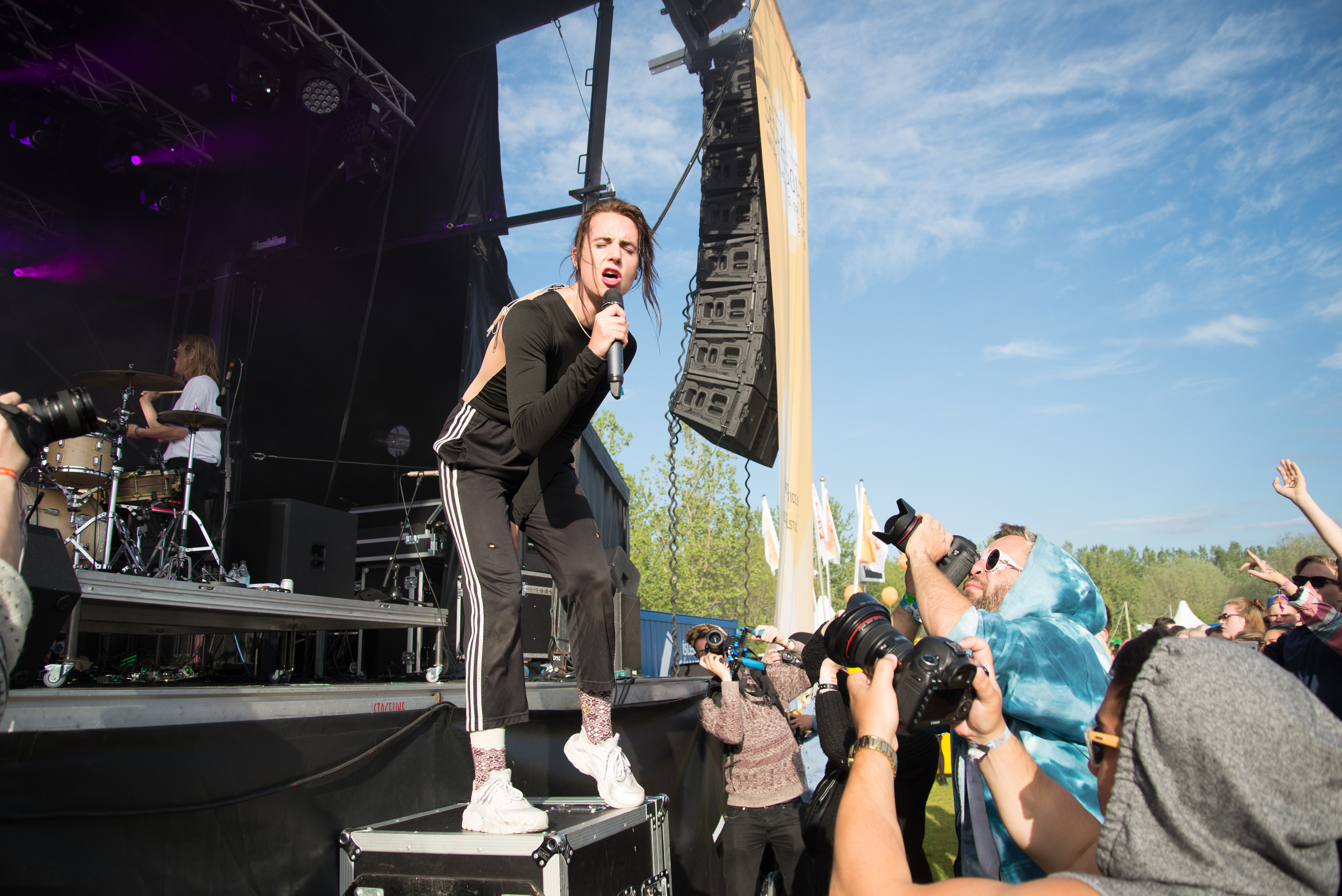
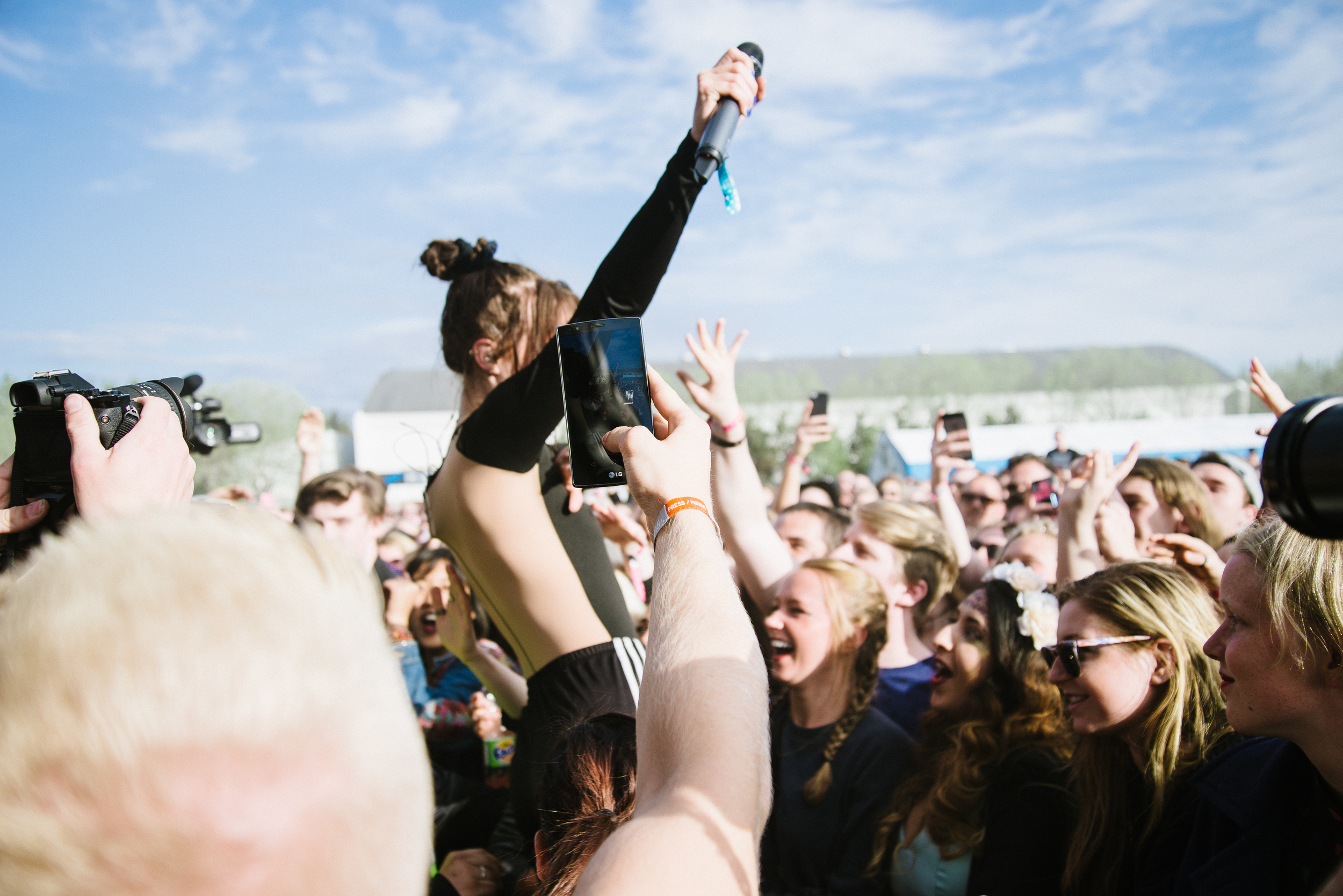
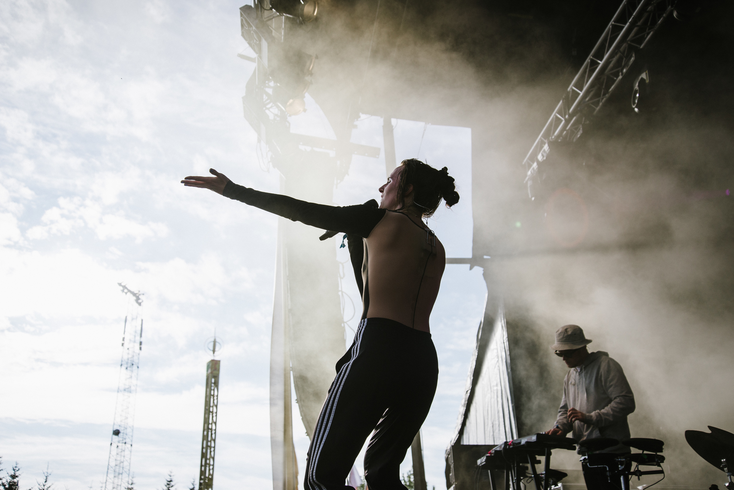
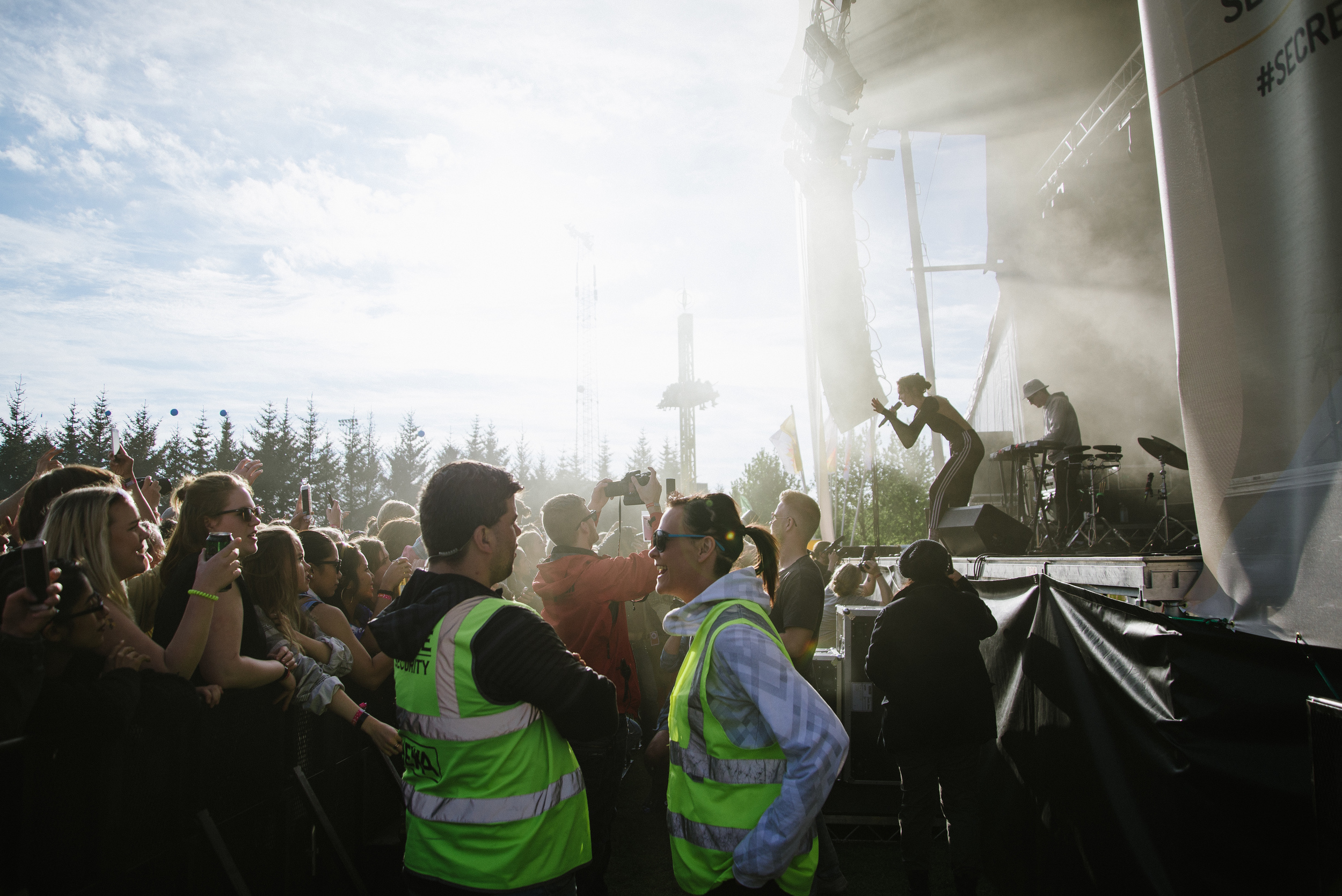
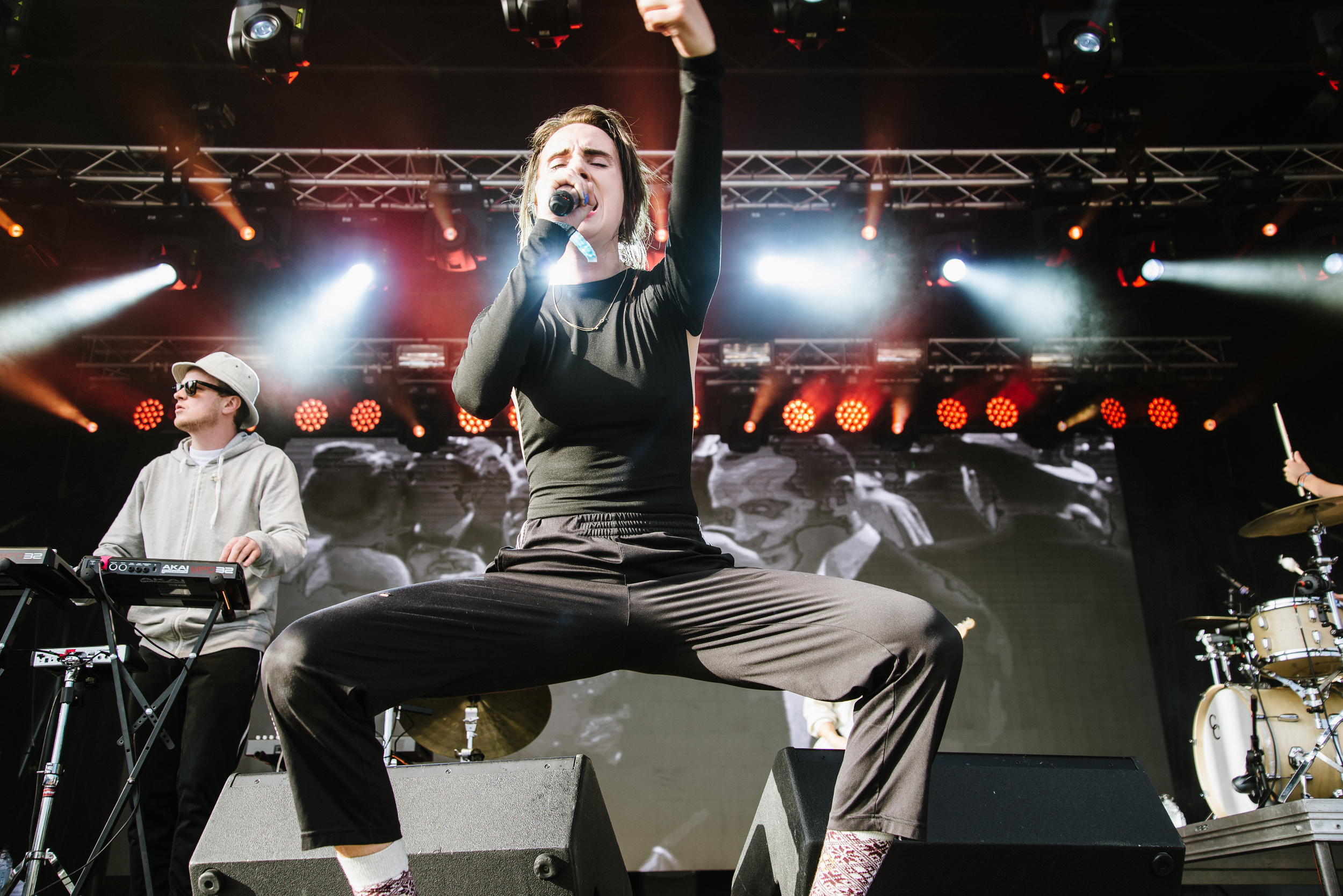
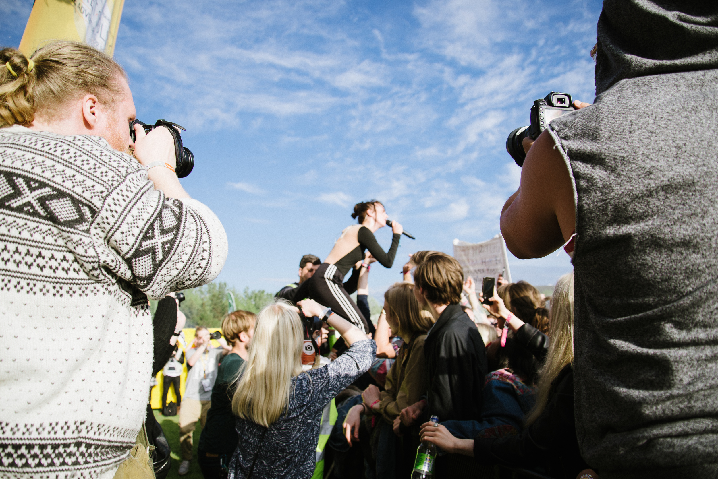
I didn't think it would be possible to even close to beating this performance, but next up was young Danish artist Mø. Mø has the incredible accolade of having the most streamed song of all time on Spotify, the electronic dance collaboration "Lean On" with Major Lazer and DJ Snake. If you don't recognise the name, you will no doubt recognise the song! She certainly was probably the most animated and energetic artist I have ever photographed...
For more Secret Solstice photos from 2014, please check out my website page:

http://www.nordicadventurer.com/secretsolstice2014/ 


Beyond Route 1: The Westfjords of Iceland

In the last two blog posts, I have been describing my journey with good friends around the "ring road" in Iceland. I left off in the East of Iceland, where our car broke down and we stayed a lot longer than anticipated. 

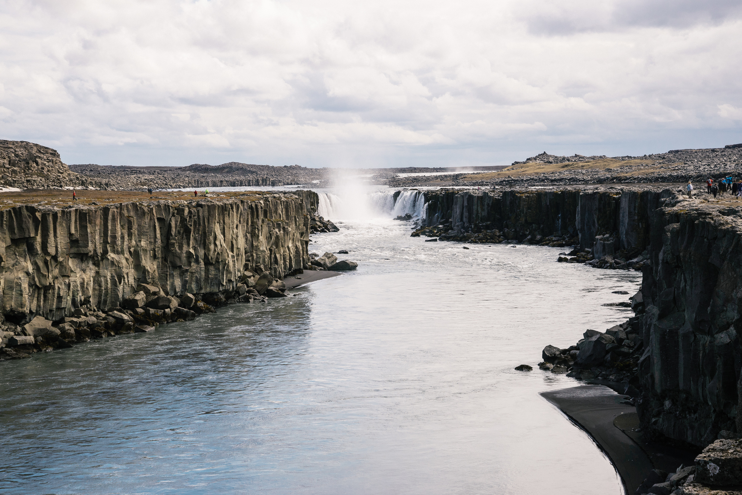
We then hurriedly continued our trip, which we had to cut short a little. We made a whistlestop visit to Europe's most powerful waterfall, Dettifoss:

From here our route took us through the fishing village of Húsavik, the beautiful town of Akureyri, the biggest town in the north, where we stopped with some friends for a few nights, and then through some more pretty fishing villages at Ólafsfjörður, Siglufjörður, and the stunning infinity outdoor thermal pool at Hofsós. Regrettably, I have no photos from this stretch. I will have to return and do a feature on the north of Iceland sometime soon, it really is incredible. 

My photo blog picks up again as we departed from the well-worn tarmac of Route 1, as it misses out a part of Iceland which really is un-missable. 

The West Fjords are the remotest part of Iceland. On the map they look a little like antlers or the fire breathing head of a fat, stumpy dragon. The area is made up of a multitude of fjords cutting, long watery incisions into the landscape at every possible opportunity. This makes for long road trips as the road often winds its way around the whole of the fjord without a crossing point. The length of time it takes to drive out to any significant settlements adds to that feeling that you really are in a remote part of earth. 

Our Westfjords adventure started with an overnight stay in a village called Borðeyri, a place which is really just a collection of neglected-looking houses and workshops, and has a population of just 25.  It is right at the end of a long, eerie fjord called Hrútafjörður. We stayed the night at a place we discovered online after realising we wouldn't make the whole journey from Akureyri to our next  desination at Barðaströnd in one day. The Tangahús guesthouse didn't look too promising from the outside, BUT was a wonderful, clean and cosy little place on the inside. More evidence, if you need it, that you should never judge a book by its cover. It was on a little parcel of land that jutted out into the fjord, and therefore had this amazing view: 

View from Borðeyri

View from Borðeyri

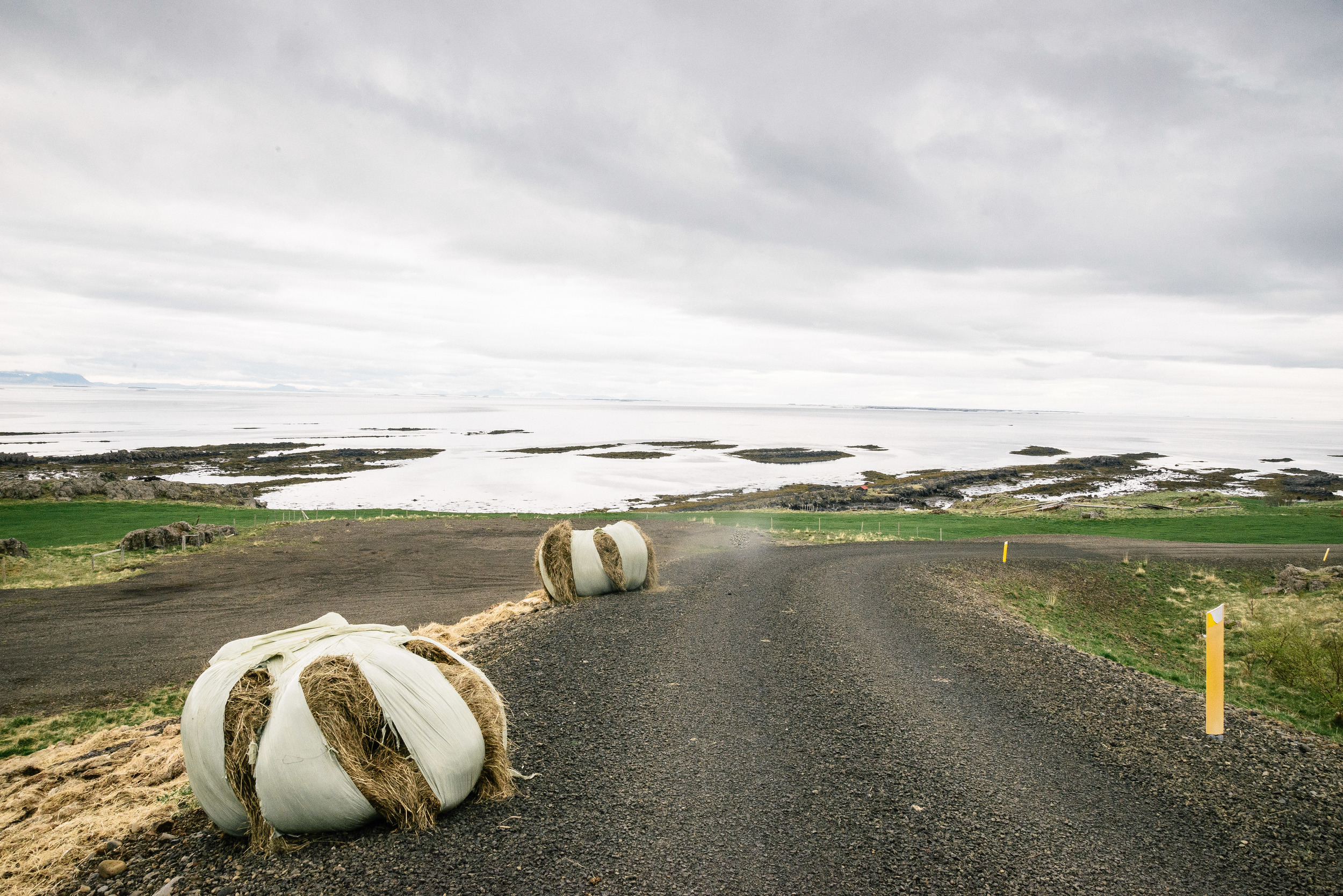
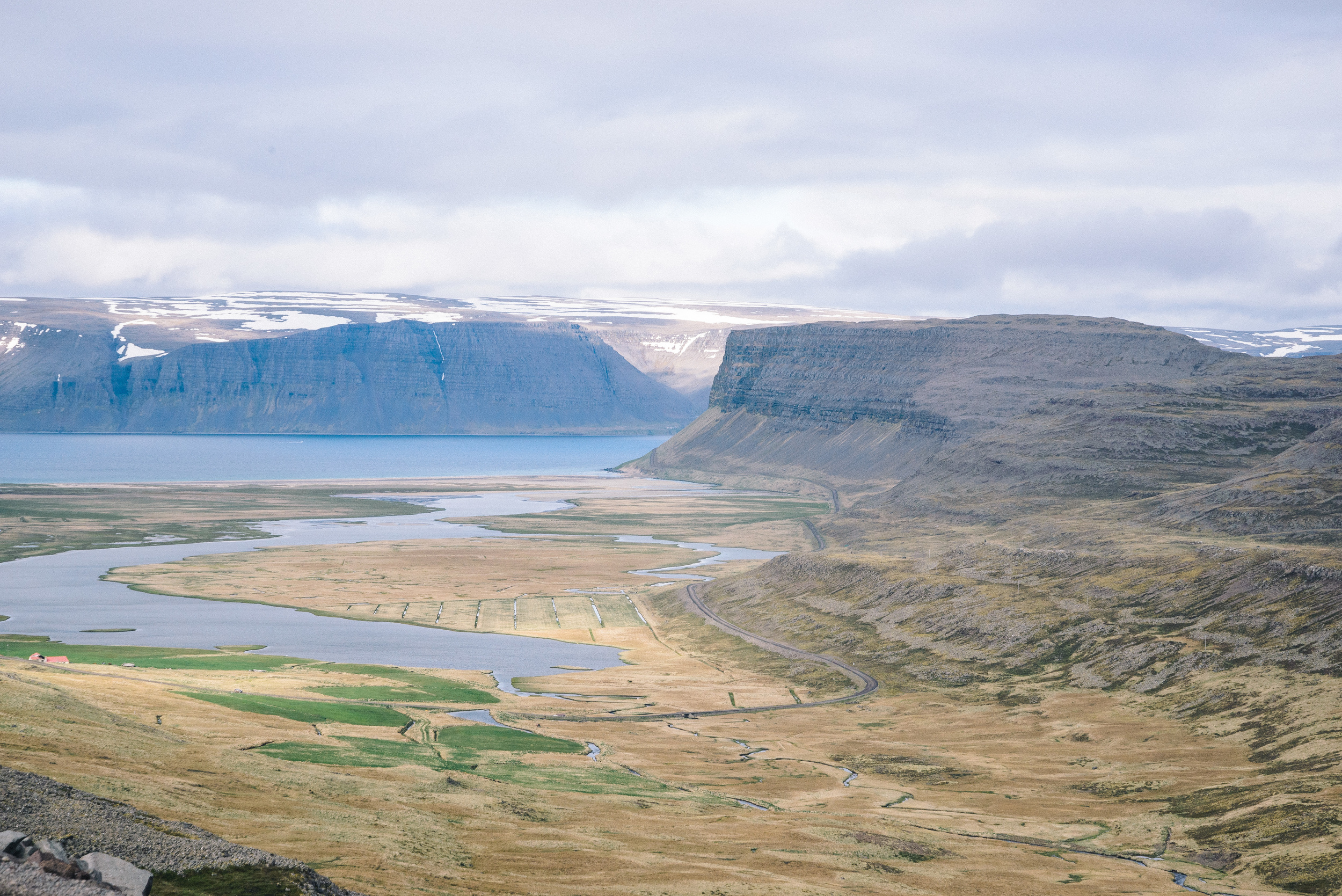
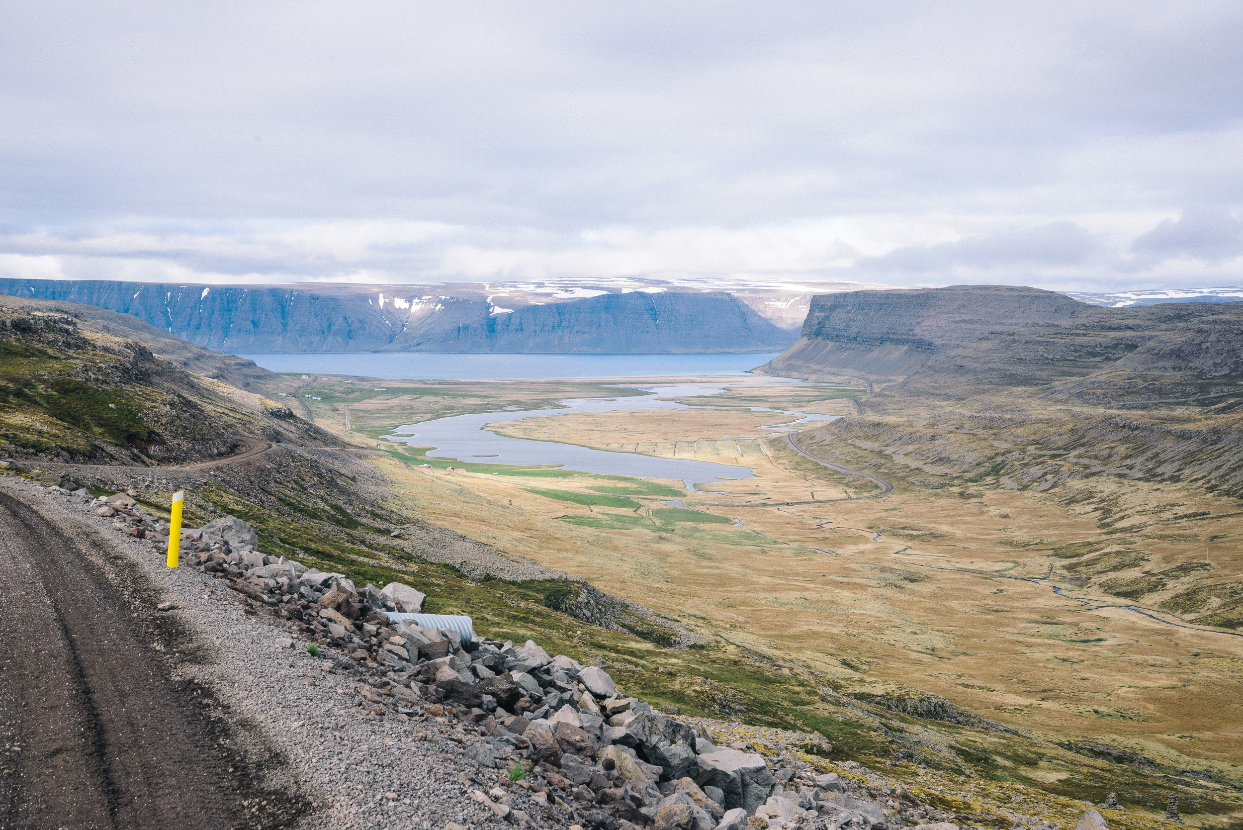
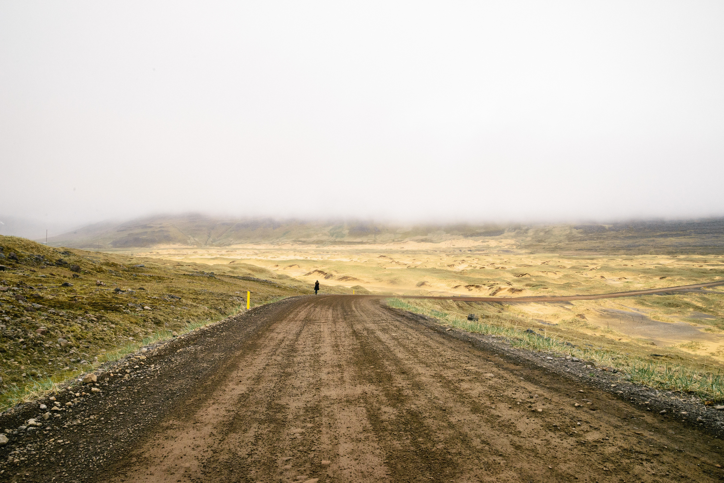
After a restful night's sleep we began what was a magnificent day's driving. After a few hours, the drama of the Westfjords truly opens up. Our trip took us along the southern part of the fjords, on a day in which we saw no less than 12 fjords in one day. The road curves and winds, ascends and descends, with some parts surfaced and other parts just dirt tracks. They are gradually surfacing this whole route and putting crossings at the entrances to the fjords in places to cut the journey time. But adventure is being sacrificed for convenience, as so often happens in our increasingly shrinking world.  I know that in a few years that feeling of driving down remote, dirty roads with a dust cloud behind you and not a tourist in sight will be a fading memory, so I decided to enjoy it while it lasts. 

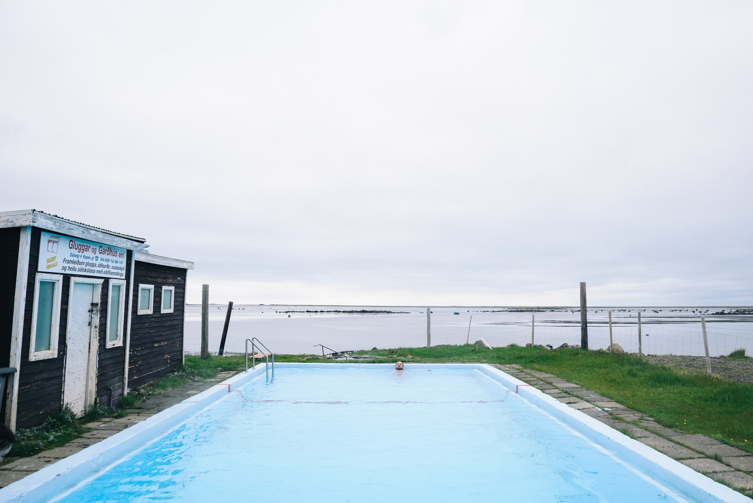
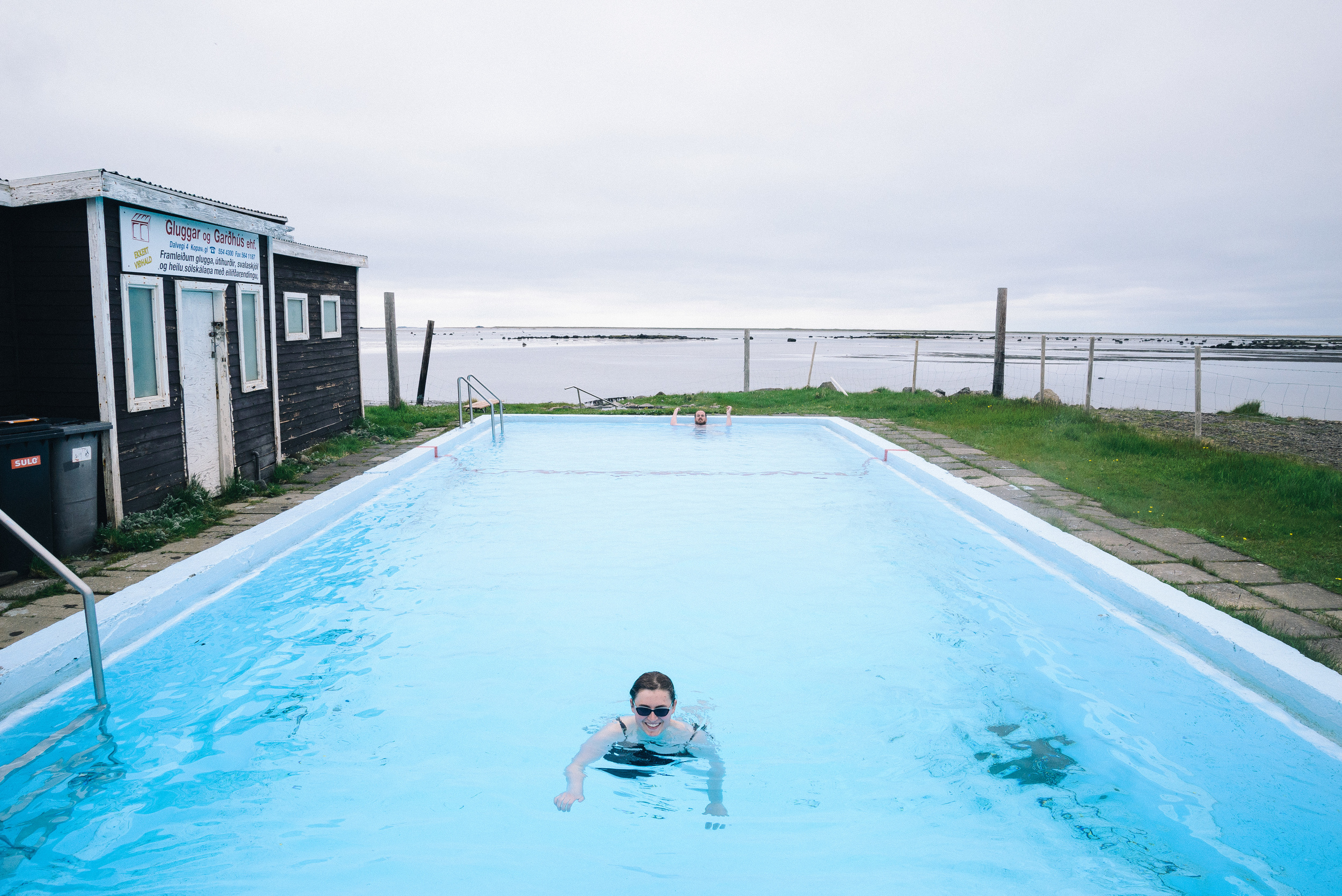
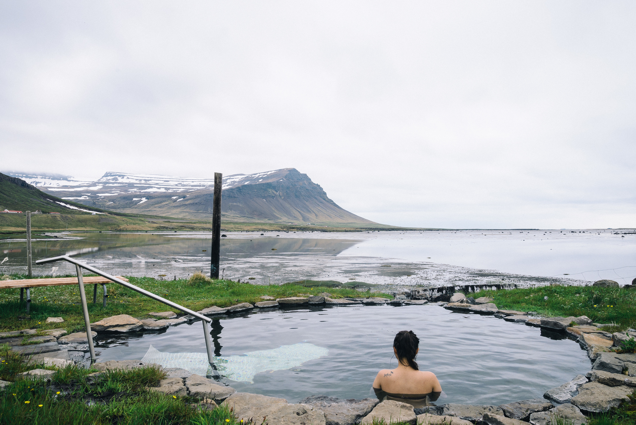
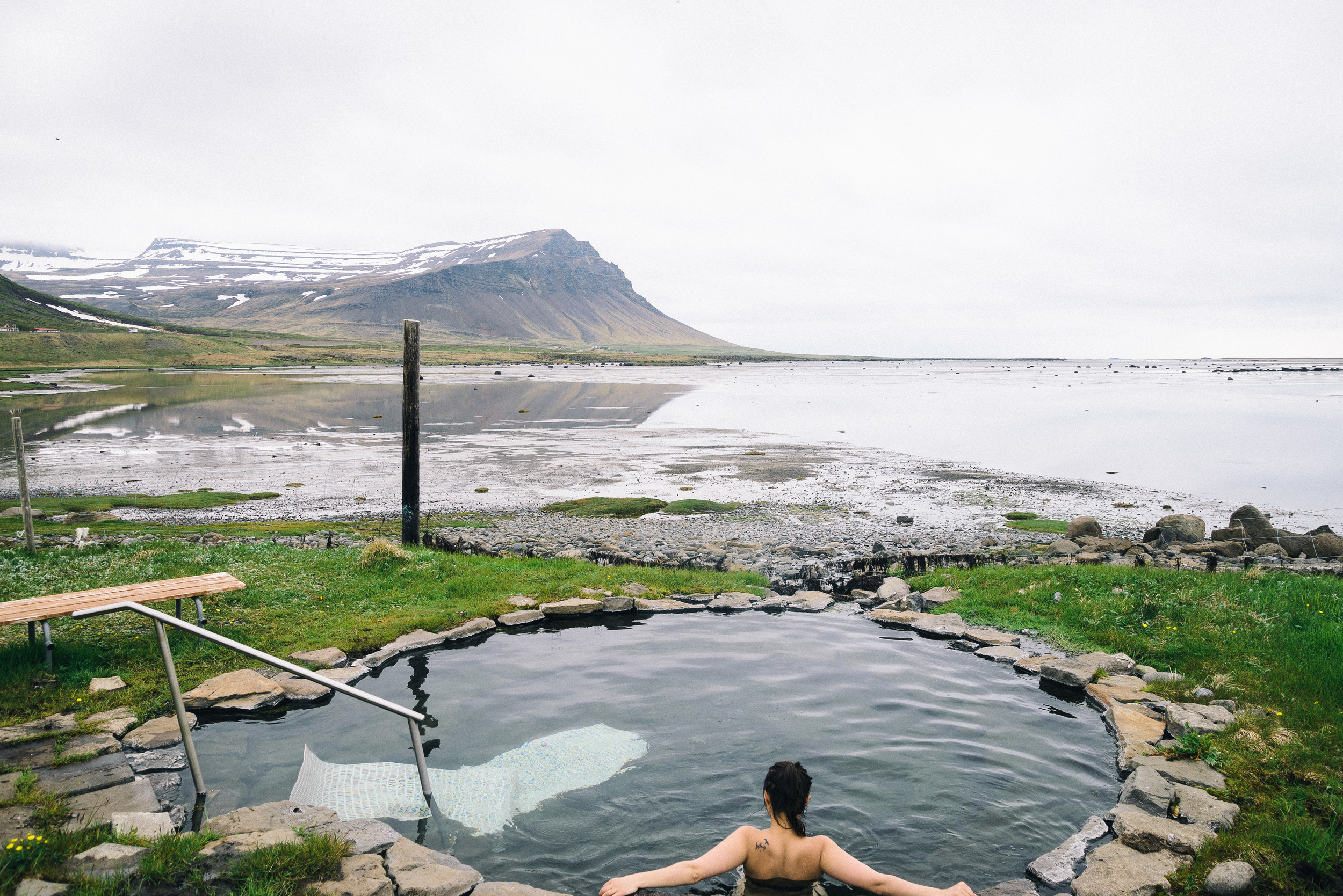
We eventually arrived at our destination, the summer house of some friends who kindly let us stay there for a few nights. It's located in the beautiful Barðaströnd area. Just two minutes walk from the house, right on the coast is the perfect little swimming pool. There are outdoor thermal swimming pools all around Iceland, waiting to be discovered, the quirkier the better. The pool is surrounded by a low chicken-wire fence, and during opening hours an honesty box is left for you to pay the admission charge of ISK 500. Just behind the pool is a natural hot pot, carved into the rock with stunning views over the fjord:

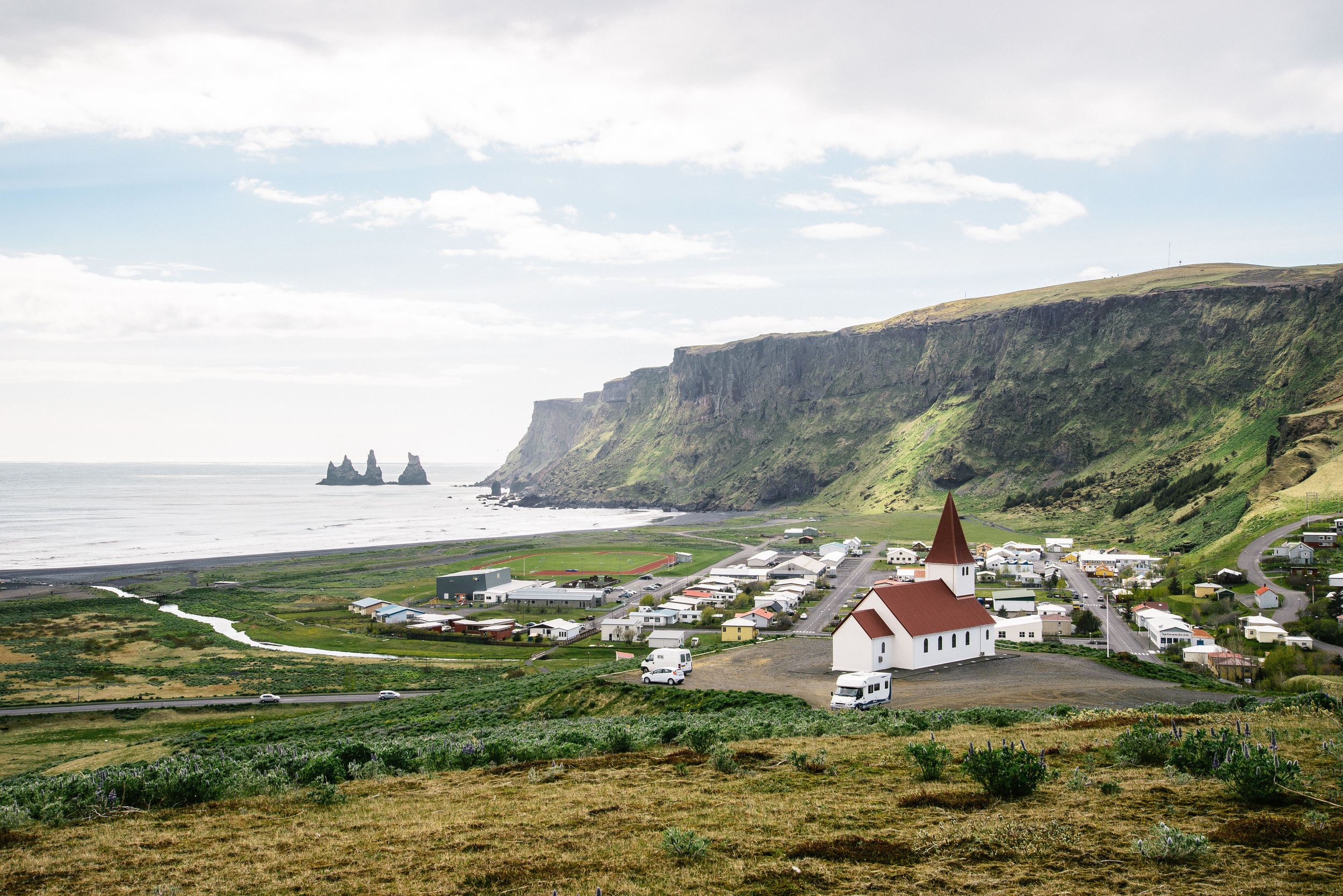
The following day was our only full day in the Westfjords, so we made the most of it by visiting the village of Patreksfjörður in the morning, about 40 minutes drive further on from where we were staying. The village is on the fjord of the same, and is titled after St Patrick of Ireland, who was the spiritual guide of the first settler in the area, Örlyggur Hrappsson.

From there we continued on towards the cliffs at Látrabjarg, through some beautifully moody low-lying cloud: 

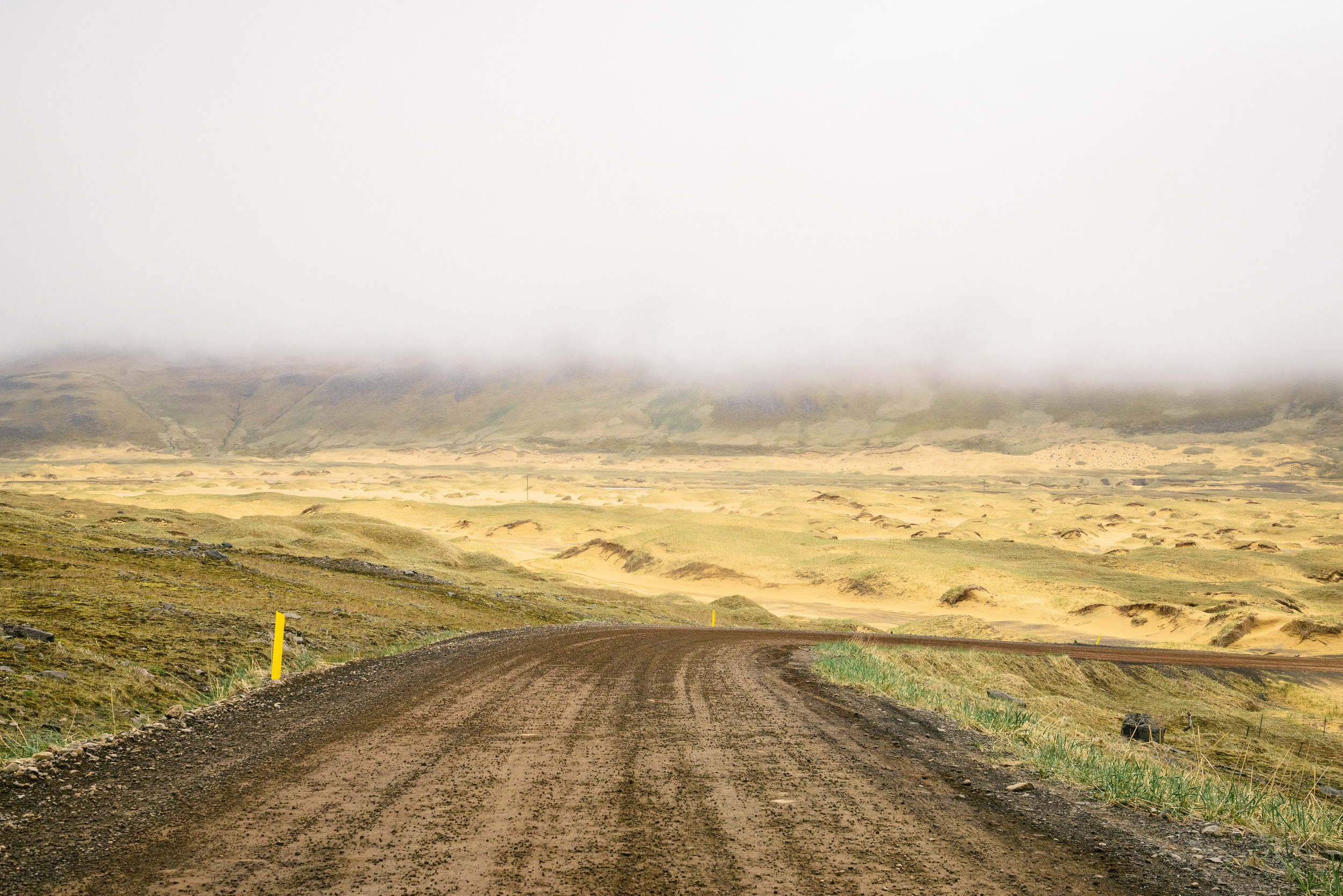
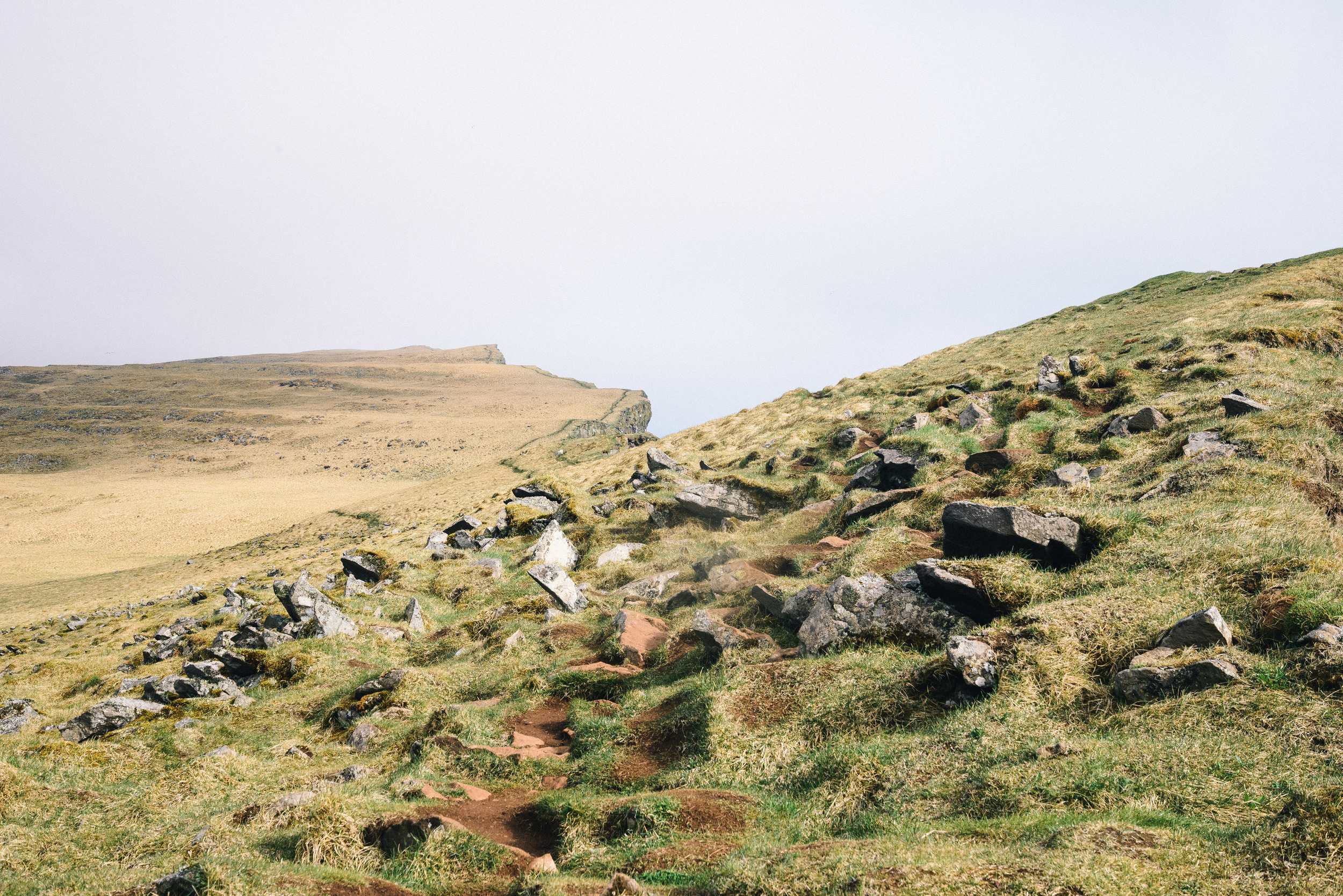
It takes a while to travel the dirt track to Látrabjarg, the road is narrow and precarious in places with quite a few potholes, and together with the low cloud, makes driving a challenge.

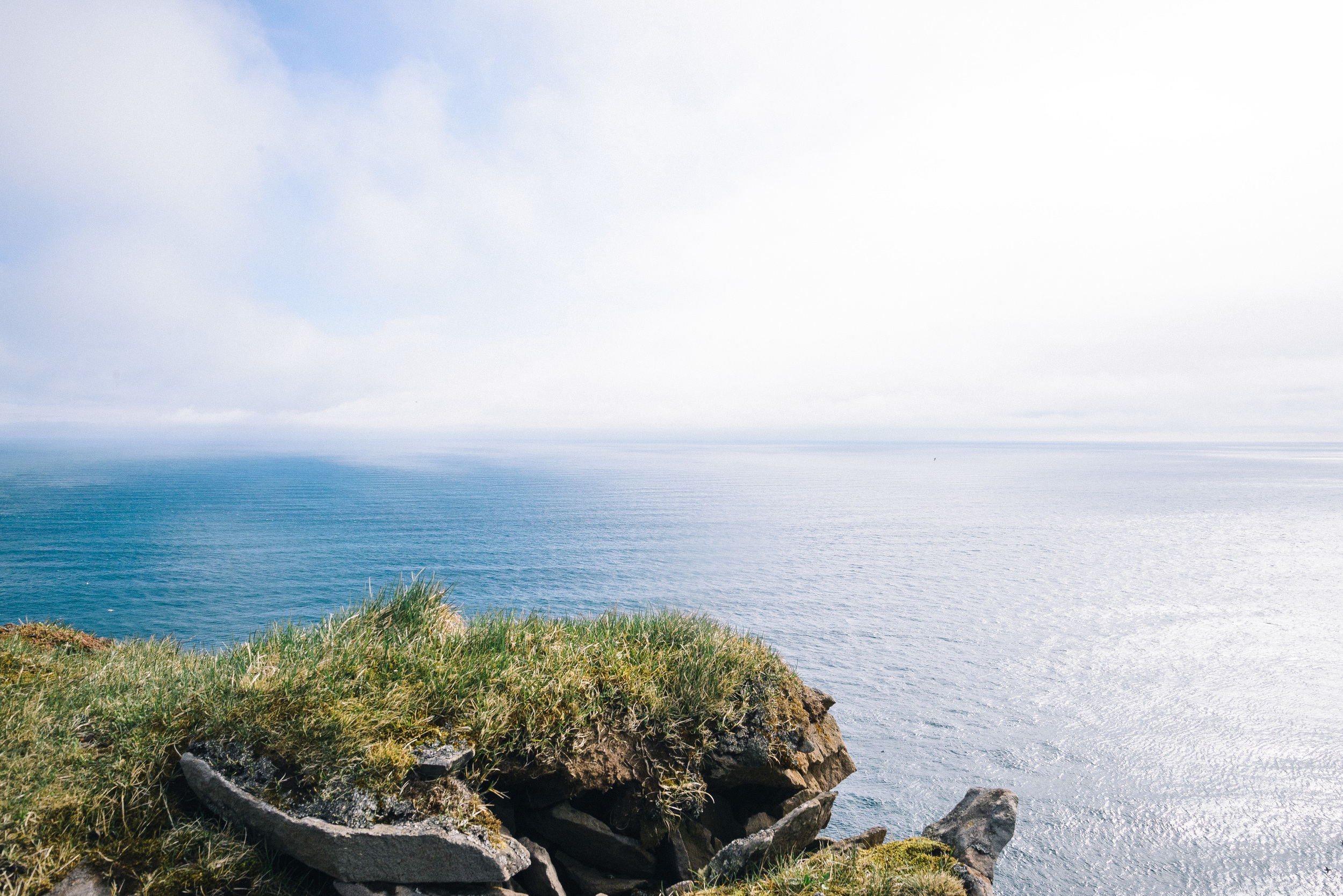
Látrabjarg is the westernmost point not only of Iceland, but of mainland Europe (excluding the Azores, the Portugese remote islands in the middle of the Atlantic). A little lighthouse perches precariously at this point, and for a few minutes we enjoyed being the westernmost people in the whole continent. 

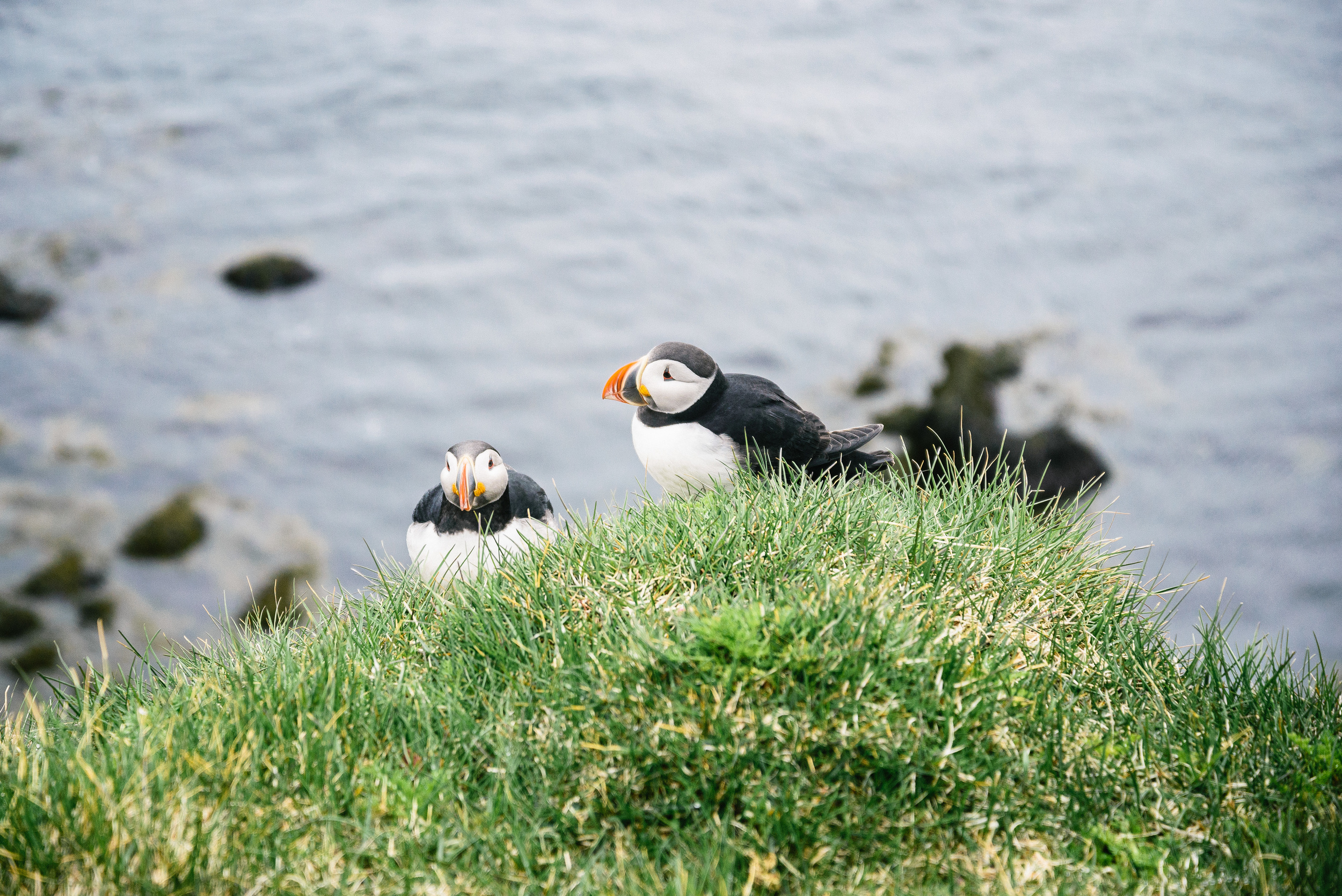
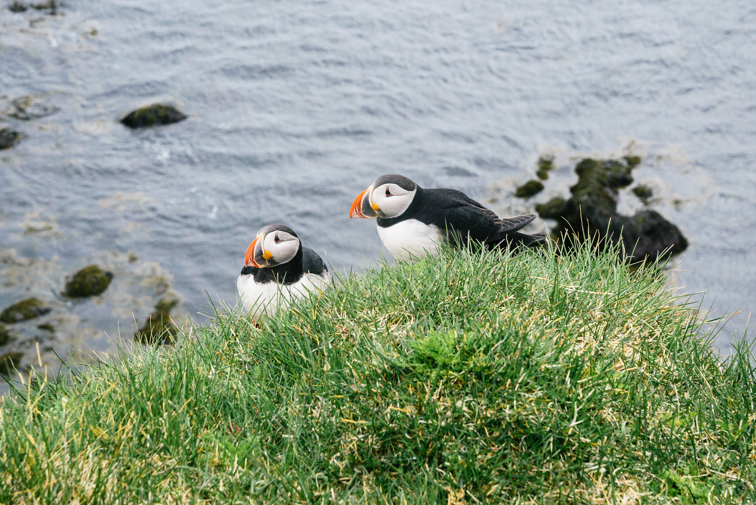
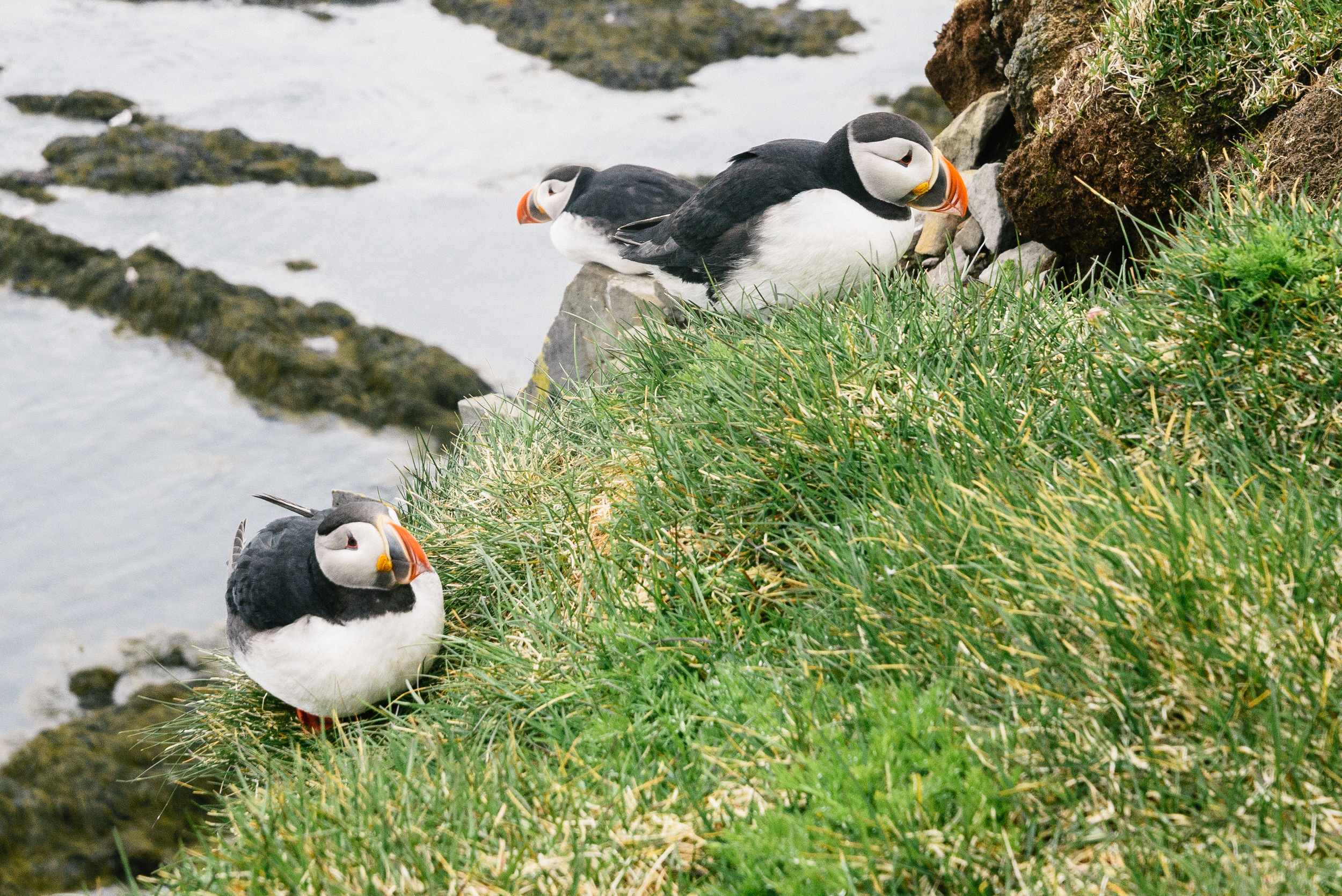
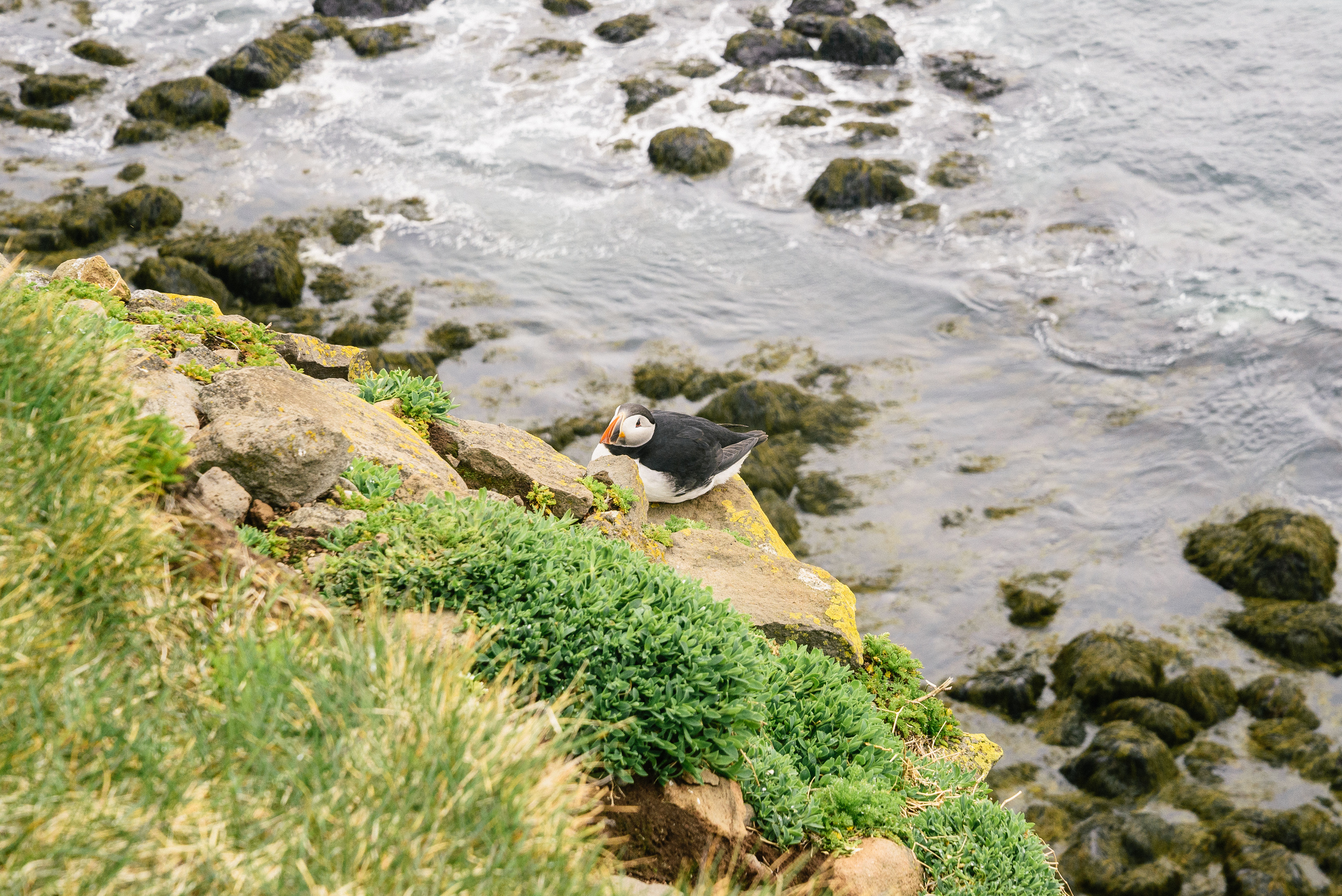
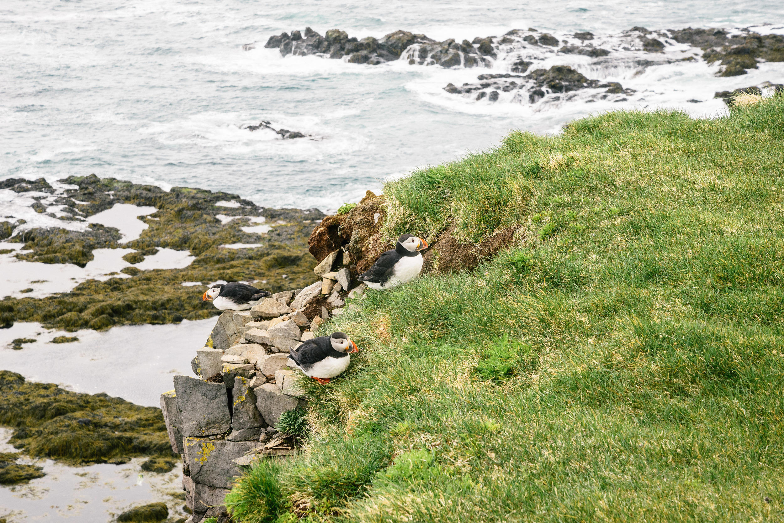
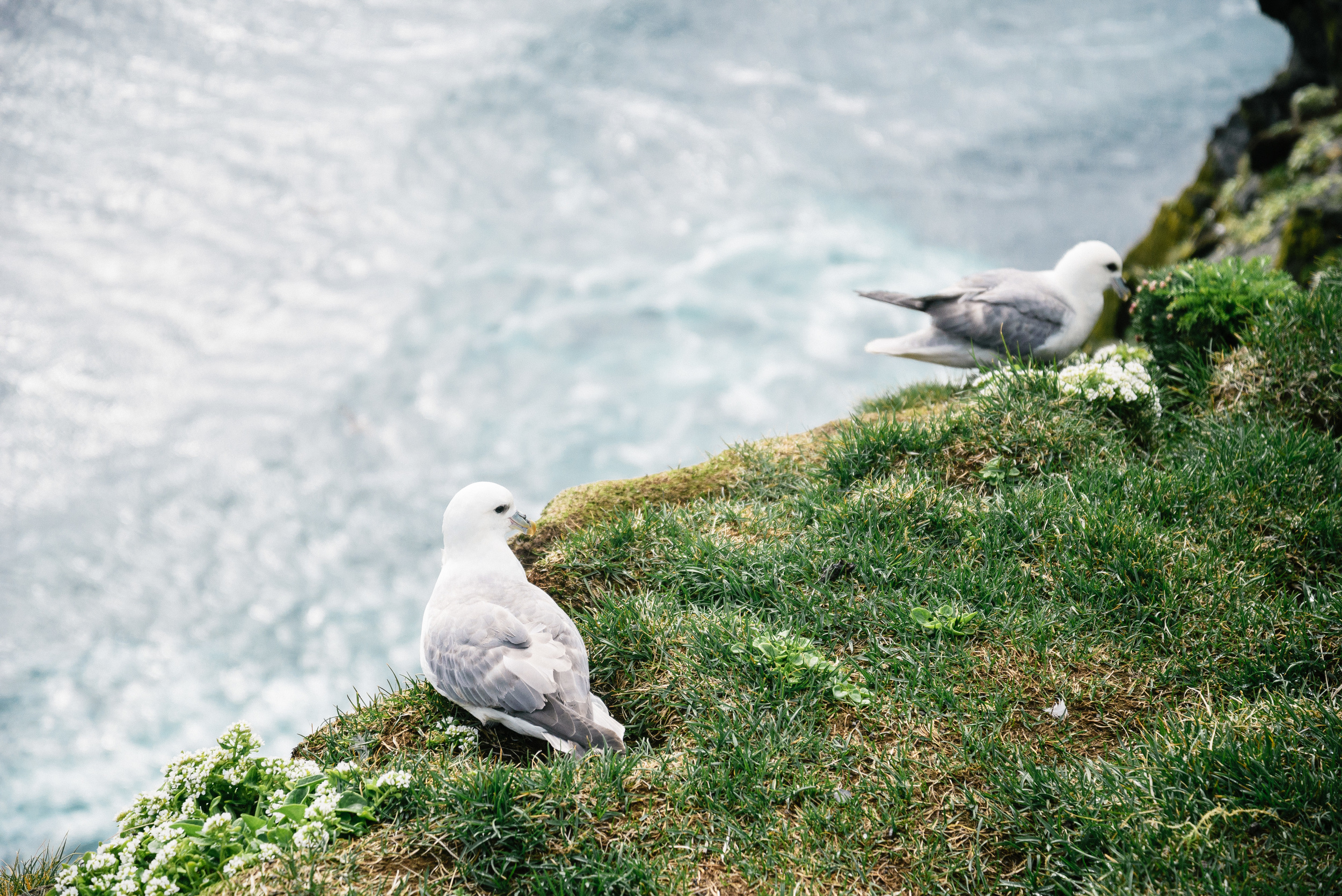
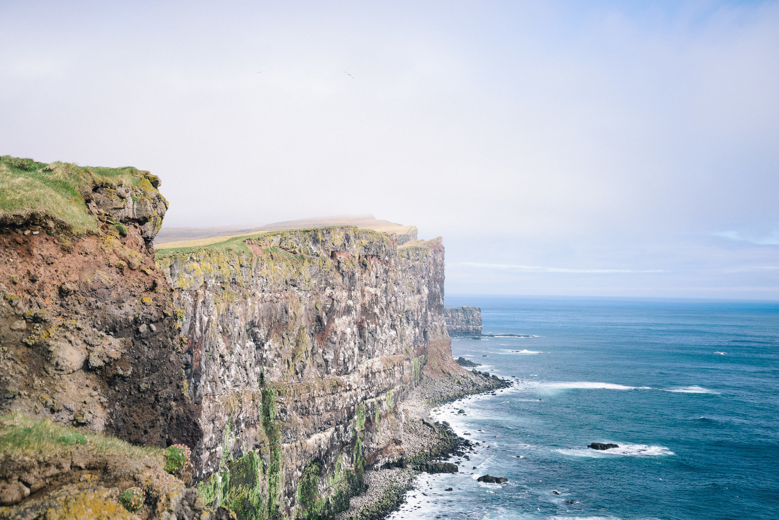
We shared this experience with a colony of puffins, for whom the Látrabjarg cliffs must be something akin to paradise. 


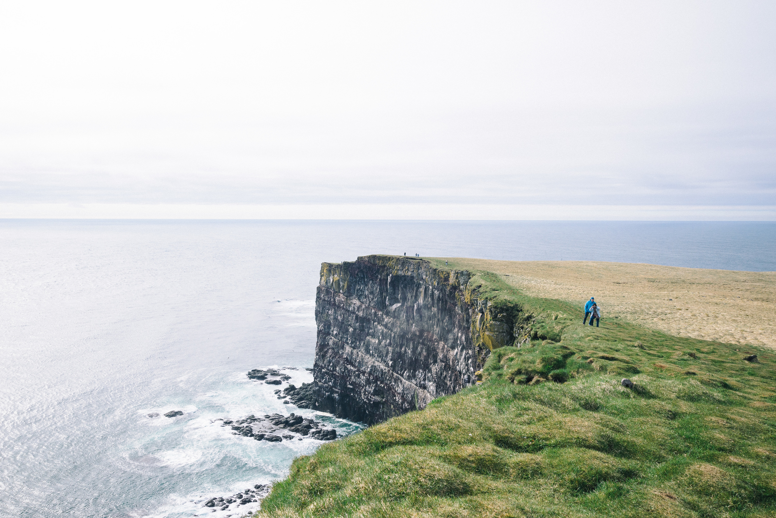
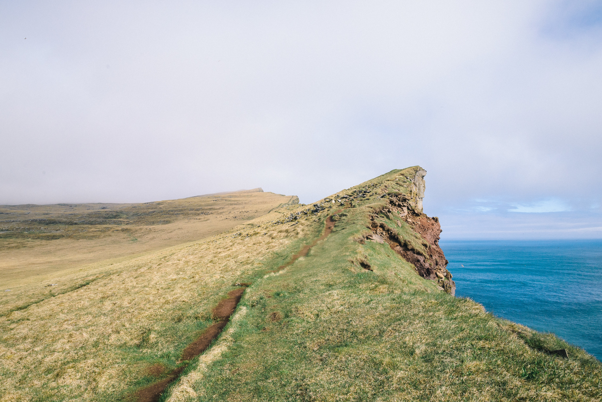
The cliffs themselves are now my favourite spot in the whole of Iceland. It is Europe's largest bird cliff and at its peak rises a massive 440 metres from the crashing waves below. I can imagine that the original settlers would have been in awe and dread of these huge cliffs approaching from the sea, and is a most fitting gateway to Europe from the west. It was cold and very windy when we walked along there, but that is not unusual for Iceland. If you can get yourself to Iceland, then it is an  imperative to make the effort to go to the Westfjords. Just keep it a secret between us, ok? 

To purchase some of these photos or others, please check out the West Fjords page on this website: 

http://www.nordicadventurer.com/west-fjords/


Route 1: Driving around Iceland's ring road (Part 2)

This is part 2 of a blog about my journey around Iceland's ring road, which circles the edge of the country. (For part 1 see here: http://www.nordicadventurer.com/blog/2016/1/26/route-1-driving-around-icelands-ring-road). 

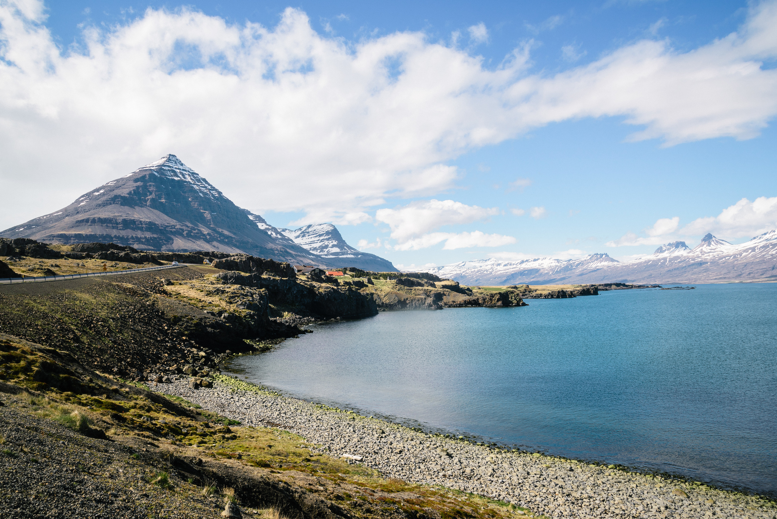
After a night spent at the HI hostel in Höfn (I recommend the HI hostels for their high commitment to sustainable practices), we continued our journey through the beautiful East Fjords. The road initially cuts through a short tunnel through some high mountains which protrude out into the sea north of the town. Once through the tunnel, Route 1 stretches out through alongside some wide coastal fjords which are more like lagoons, and then rises up to hug a dramatic headland right on the coast

There was a lingering grey light which enhanced the moodiness and drama of the coastline as we looked out across the sea, figuring out that the next dry land was Norway, over 1000 miles to the east.

A little further along the same stretch of road, we found a small turning which took us down to a hidden  beach enclosed on one end by a big wall of rock. 

The next "major town" (with a population of 470) is the fishing village of Djúpivogur. It is near here that the small island of Papey lies, where Celtic monks once prayed before Iceland was settled. The story goes that they were chased away by Viking invaders, with some taken as slaves. One day I hope to get on a boat and visit, but for now we had to be content with just seeing the island on the horizon from the mainland. The village of Djúpivogur is gathered around a small harbour

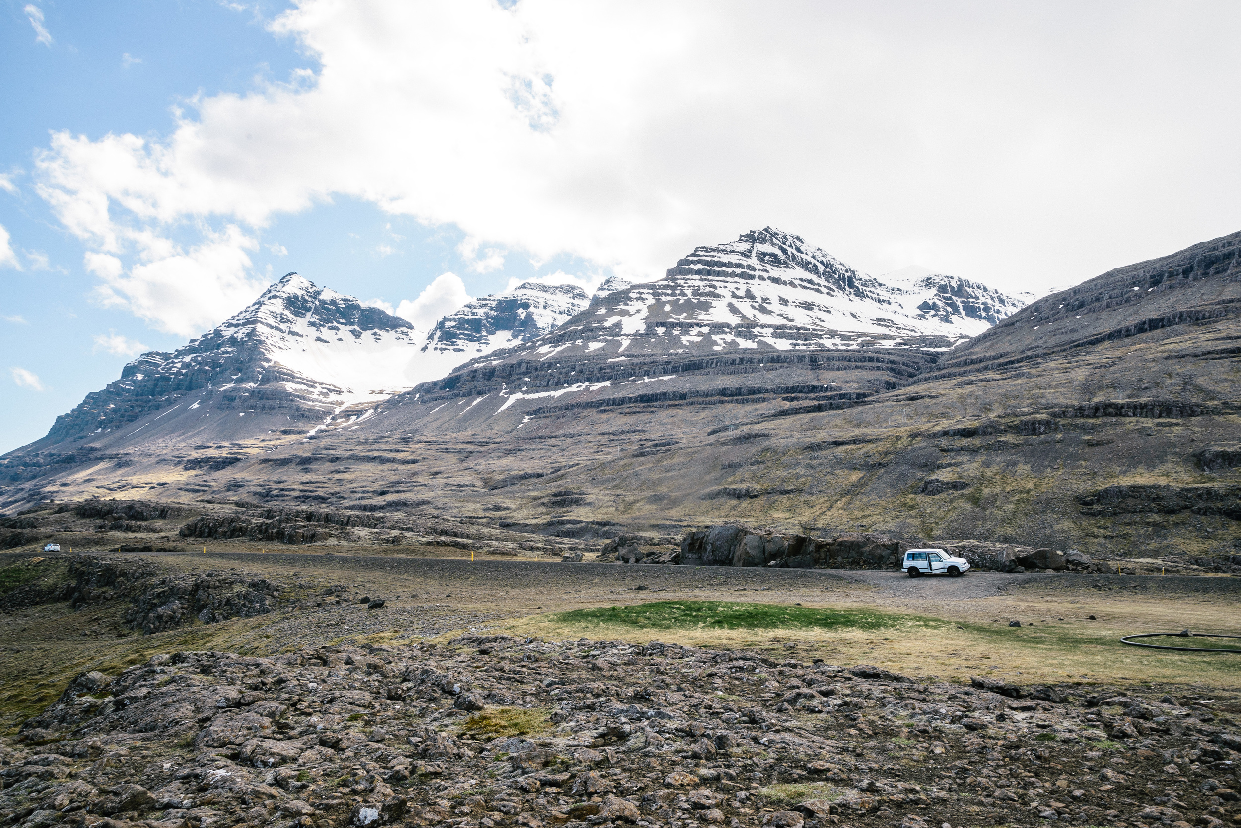
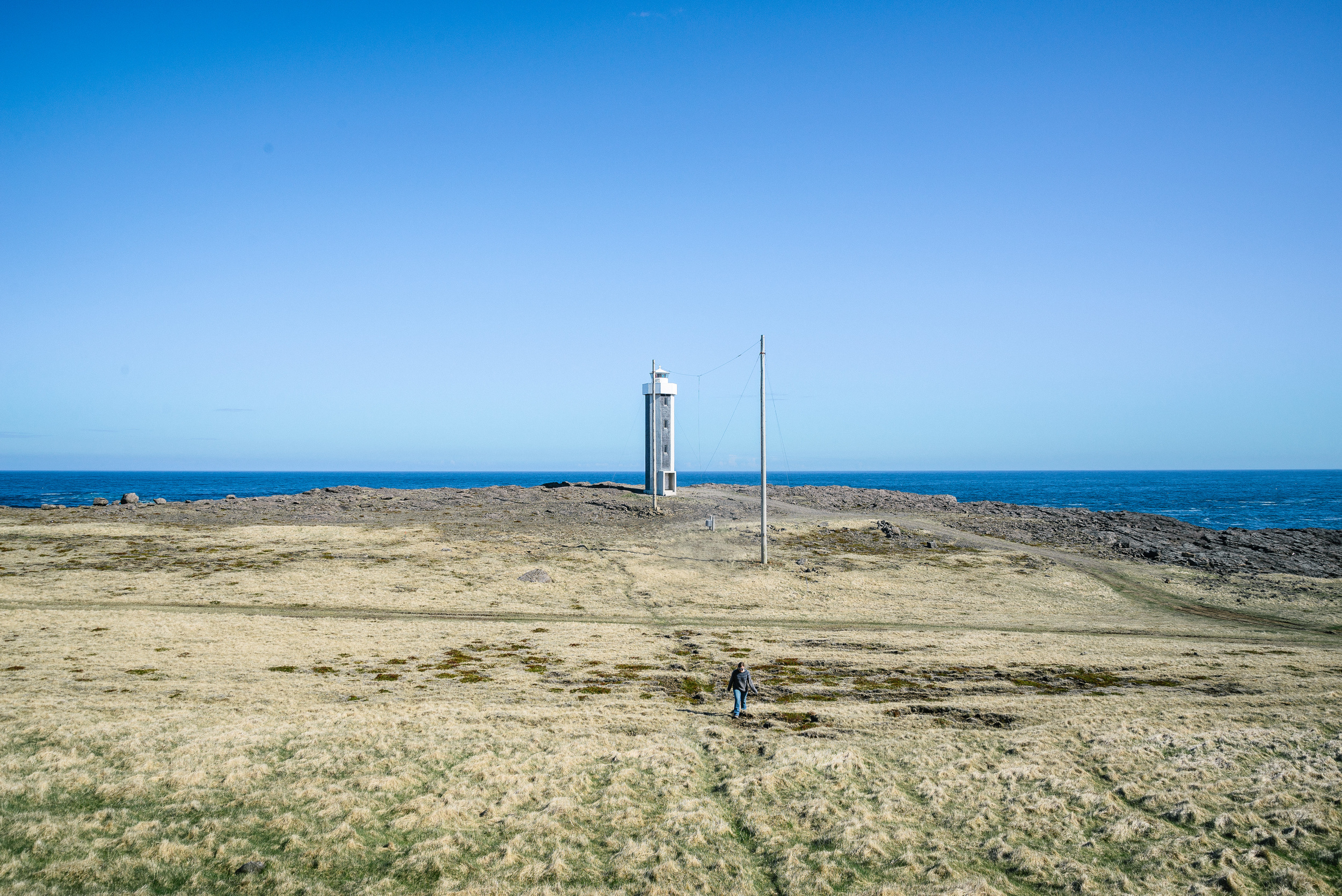
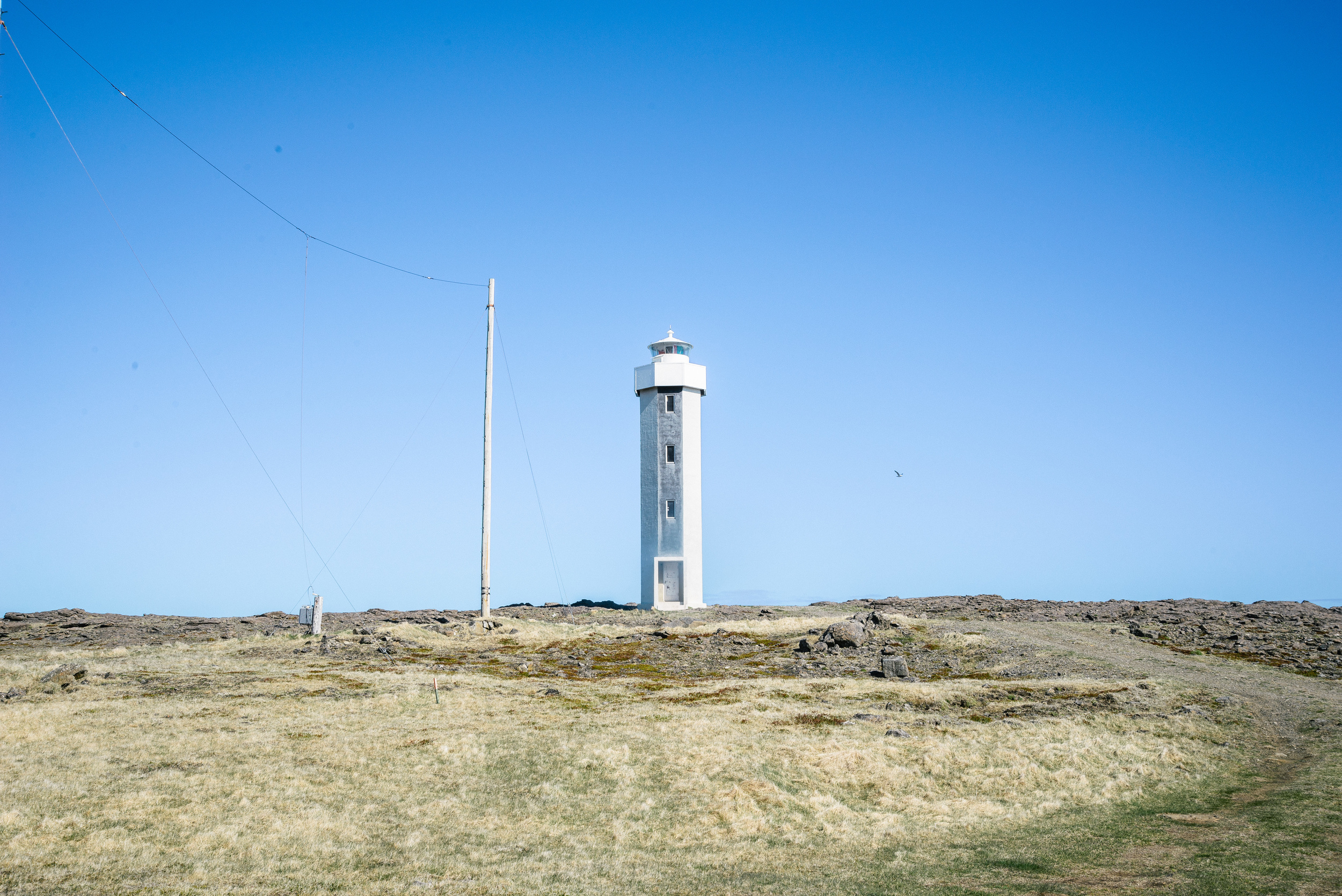
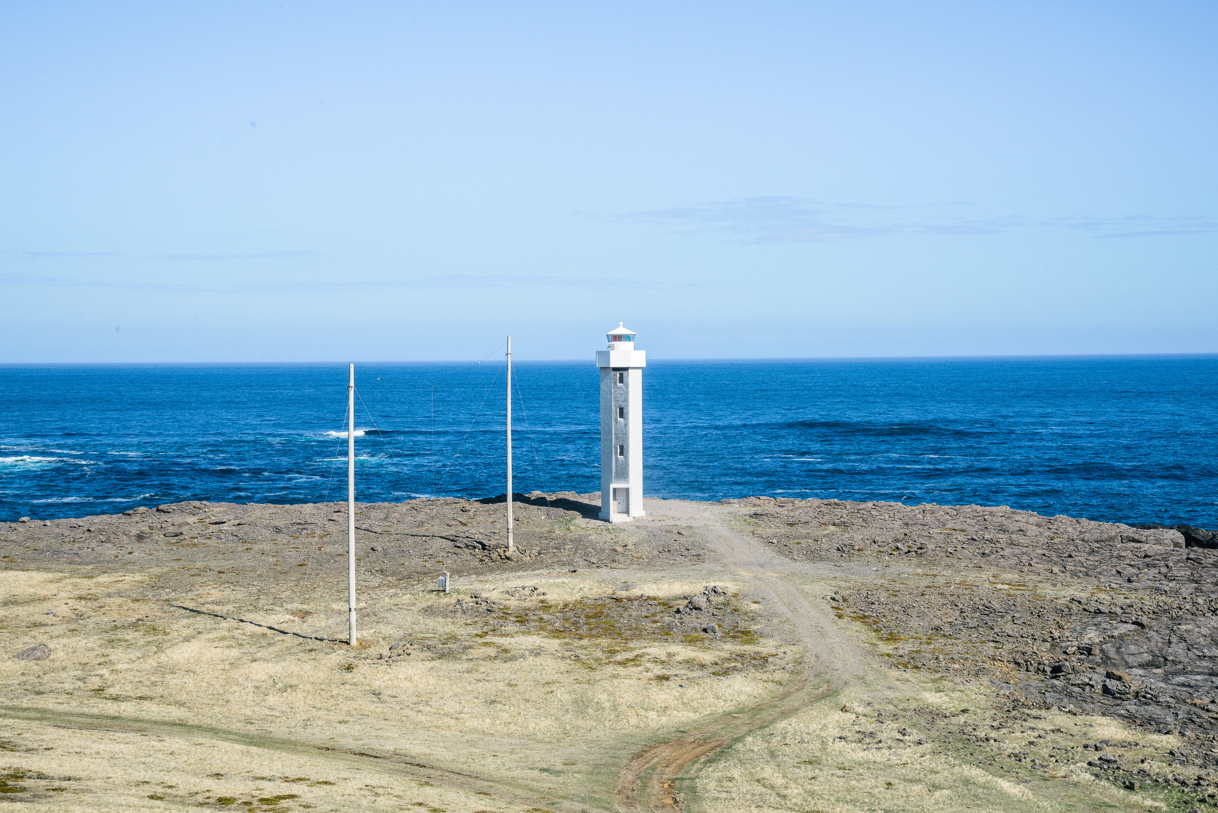
After a quick coffee and lunch stop in the village we continued around the long fjord called Berafjörður and found a striking lighthouse at the next headland. 


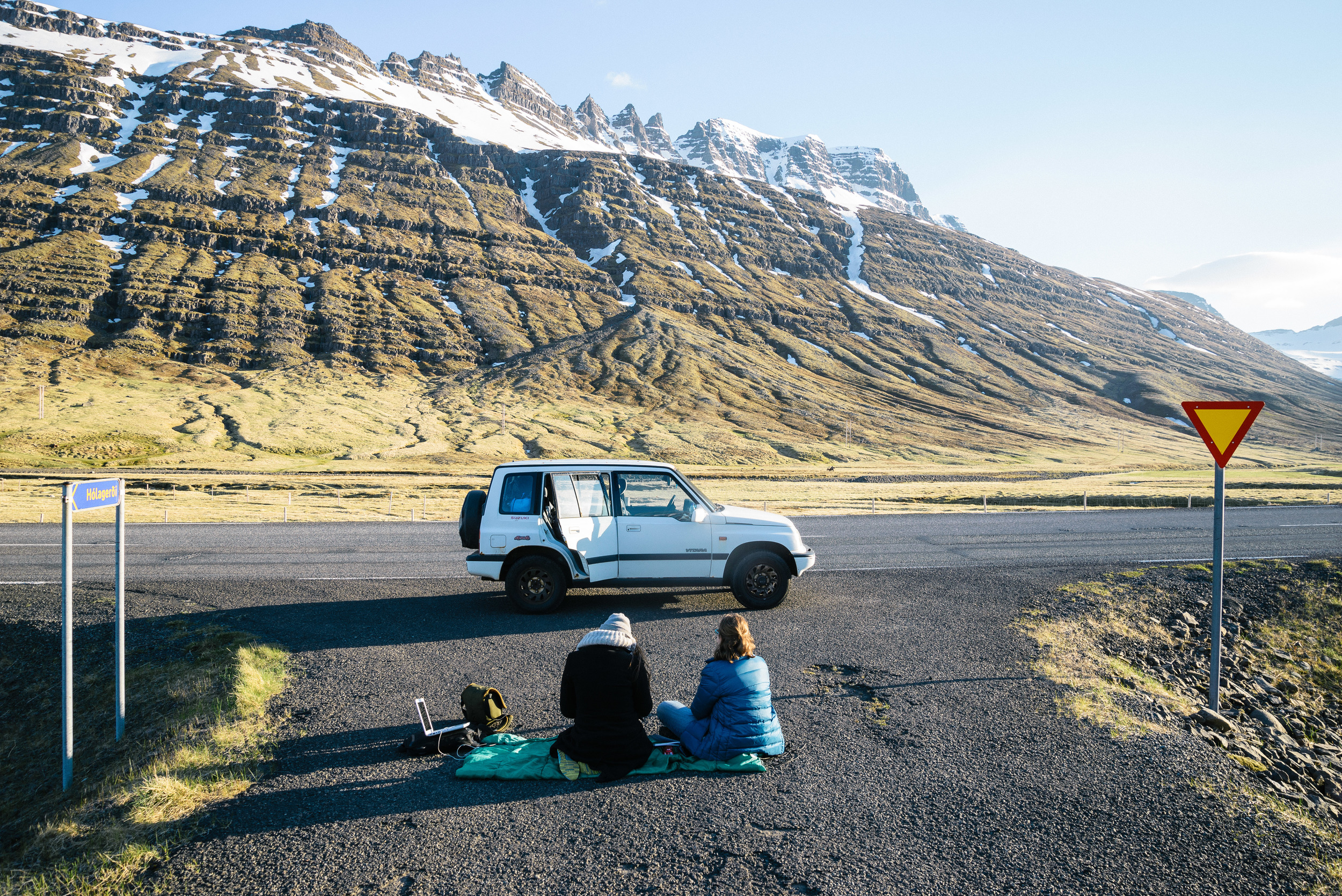
The roads through the East fjords wind through fjord after fjord, making a journey which is not far in direct distance a lot longer. My 1992 Suzuki Vitara began to struggle as we neared the pretty little village of Stöðvarfjörður. The gorgeous little church is unfortunately no longer used as a place of worship, but has been converted into a holiday home. We peered through the windows and saw the altar still intact and standing in the living room! 
The car began to shudder and something didn't feel right as I drove. Being stuck in the middle of nowhere I carried on until we reached the little village of Fáskrúðsfjörður, which used to be a base in East Iceland for French fishermen, and even the roadsigns there have a French translation. Something smelled odd in the town, and I assumed it must be something to do with fish or a factory. A few kilometers outside the village, however, the smell persisted. I pulled over into the entrance to a farm track and realised the smell was coming from my car, as smoke poured out from the back. 

Even in the summer, temparatures can drop fast as night approaches and we had to quickly come up with a plan. The car smelt strongly of gas and we couldn't stay in the car for fear of being overwhelmed by the fumes, so we opted to add as many layers as we could and sit by the side of the road. I called ahead to our friend Hafsteinn who was the manager of the guesthouse we were heading to in Egilsstaðir. After a short while and a few phonecalls later he managed to contact a mechanic in the next town of Reyðarfjörður, who told us that after another hour or so he could come and help us. In Iceland, you need to know people who know people. 

After a few hours of sitting by the road, and at one point running up and down and exercising and even dancing to keep warm, help arrived in terms of a couple of friendly mechanics. one of whom had his 10 year old son with him. As they took a look at the car, the 10 year old said "your car is really really terrible. Really terrible". They say the most truthful people in the world are children and drunks. Maybe he was being a bit harsh, the car is 23 years old and still going, right? That's not too terrible in my estimation. In a years time Cecil the Suzuki will be 25, and classed as a classic car, with no tax payable. I'm praying he makes it to this milestone birthday. 

The mechanics drove our car slowly through the long tunnel which awaited just a kilometre up the road, while driving us in a separate vehicle. They took the car into their workshop in Reyðarfjörður and our friend Hafsteinn very kindly picked us up to take us on a further 30 minutes to the guesthouse in Egilsstaðir. 

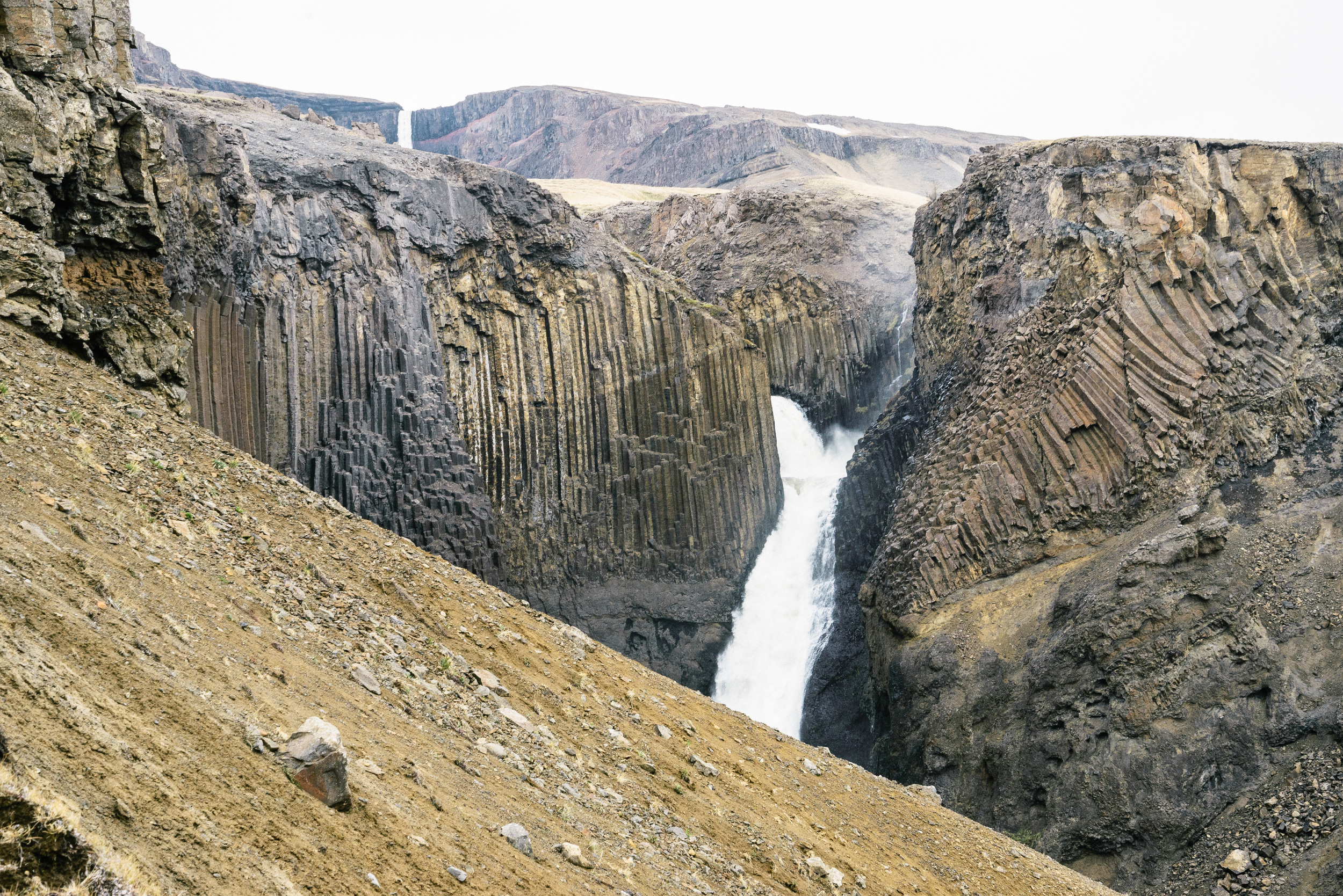
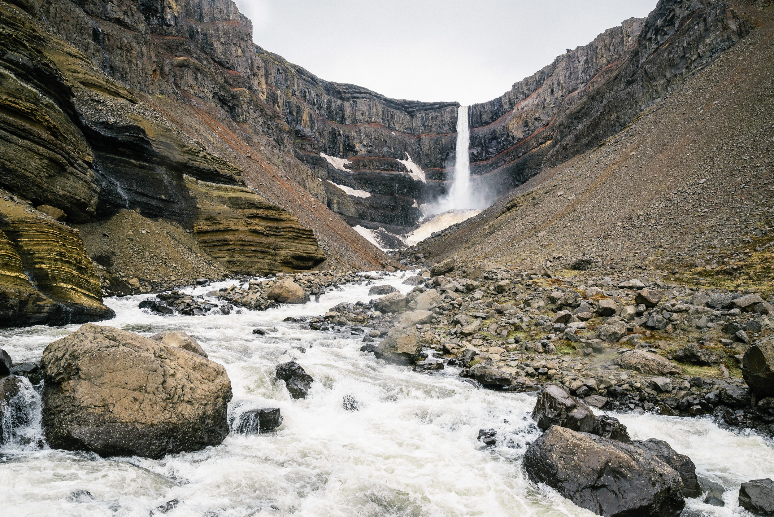
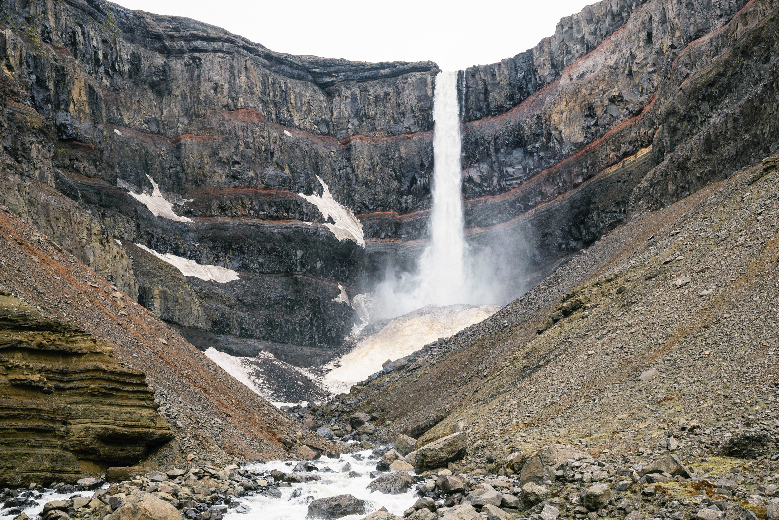
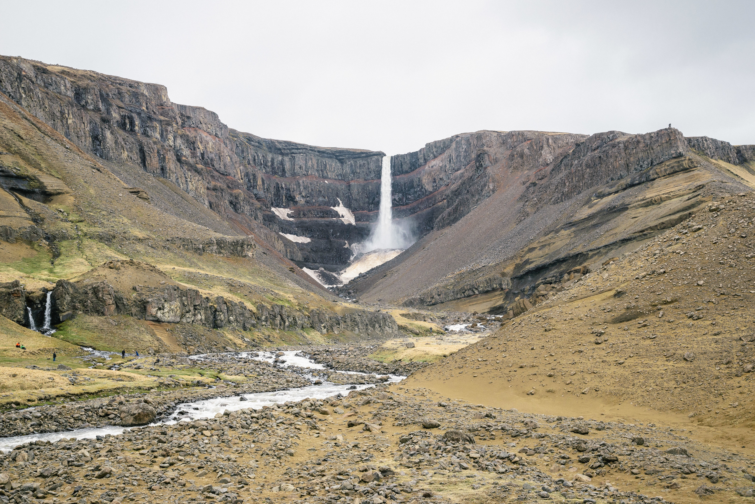
Our stay there turned from a planned stay of three or four days to over a week, while we waited for some new wheel bearings to be delivered from Reykjavik to the mechanic. Hafsteinn went out of his way to drive us from place to place and he took us to the stunning Hengifoss waterfall. 


Eventually, after a longer than scheduled stop in the beautiful East, we drove on to Dettifoss, Akureyri and the West Fjords (which will be the subject of the next blog!) 

If you are interested in purchasing any landscape shots featured in this blog or other shots of Iceland, please click here: 

http://www.nordicadventurer.com/ring-road/

Exploring the South West: Day trip in Iceland's overlooked Reykjanes peninsula

.


I love Icelandic winters, especially when the snow starts falling, the four wheel drive is needed and we begin our long, drawn out battle with the forces of nature. But around January, one starts to long for the sun to stay a while longer, to feel just the faintest bit warmth on the face and to be able to get out and explore the Icelandic nature without needing extreme cold weather gear. Spring is often not keen to come, or makes an appearance before disappearing again, like a mysterious old friend with commitment issues. 

So, as the snowstorms rage and the darkness persists, I thought I would share some posts of brighter summer days from last year. 

As I recently waded though a backlog of around 2000 photos from last year, I began discovering memories and shots which I had forgotten about as my ageing laptop could not cope with the demand of an obsessive photographer. 

First up are photos from a trip with friends around the Reykjanes Peninsula last May. This wide, almost rectangular piece of land appears to have been smuggled in from another planet. Usually overlooked by visitors rushing from the airport to Reykjavik in express buses, it is a sci-fi film-maker's dream of sparse, moon-like lava rock, steam rising from ethereal hot springs and neon blue waters surrounding futuristic looking geothermal power stations. Around its edges lie dramatic cliffs, obstinate rock stacks, majestic soaring seabirds, furious crashing waves and lonely lighthouses. Trees are so few you could probably count them on your two hands. And, to top it all it is intensely volcanically active, with a volatile tectonic plate boundary running down its centre. 

As I have explored this area many times before I focussed my photographic attention on just a few locations that I had not photographed much before. 

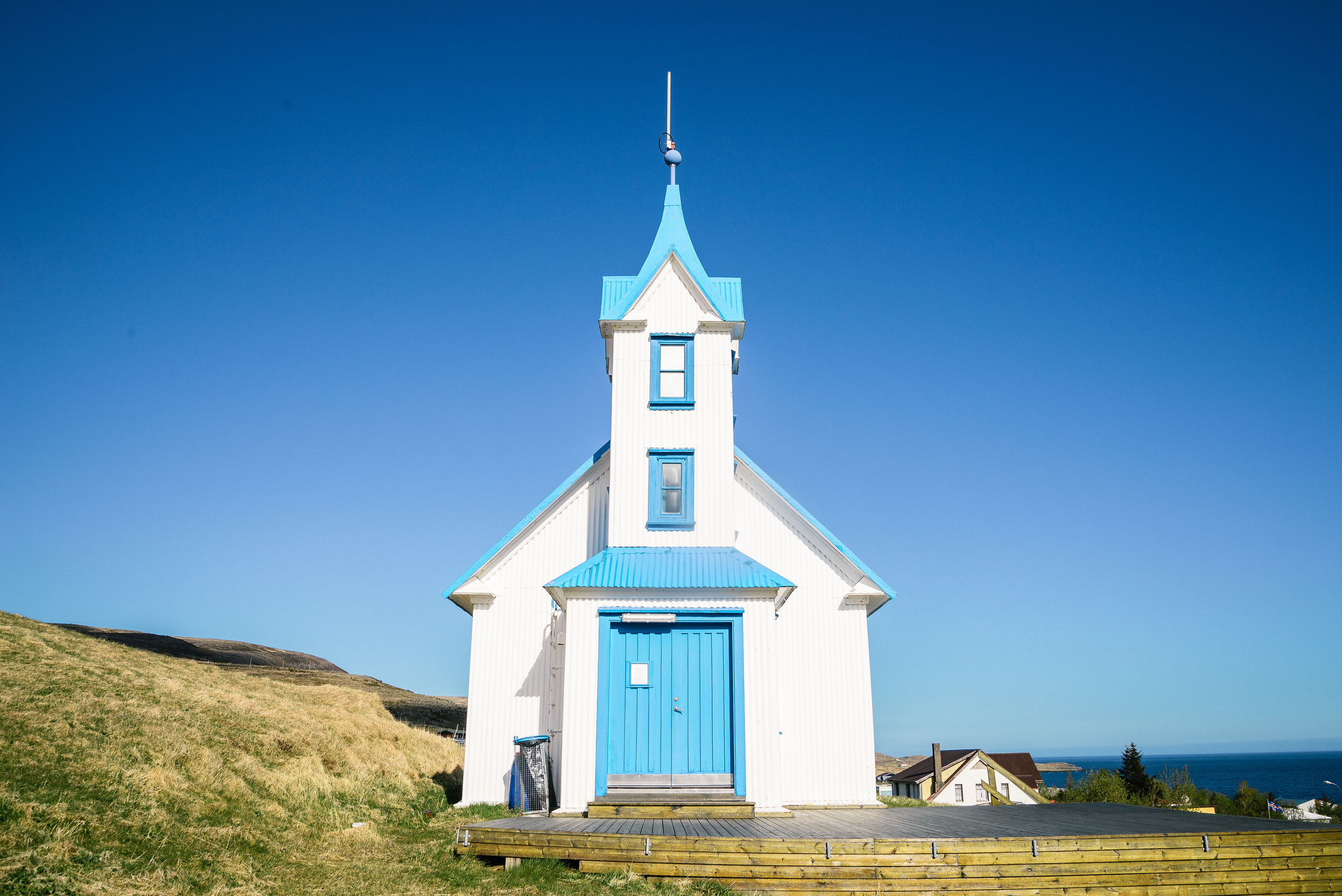
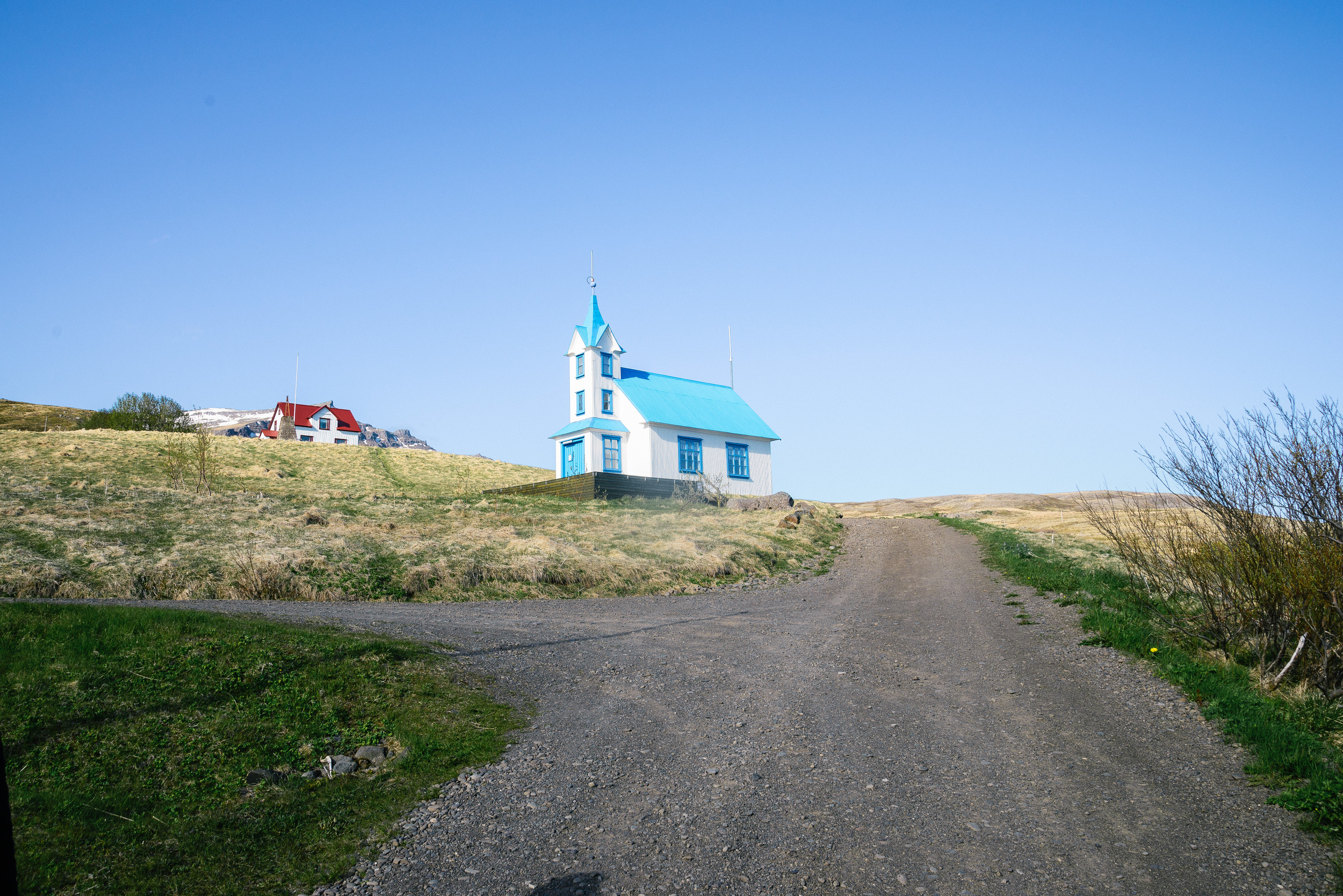
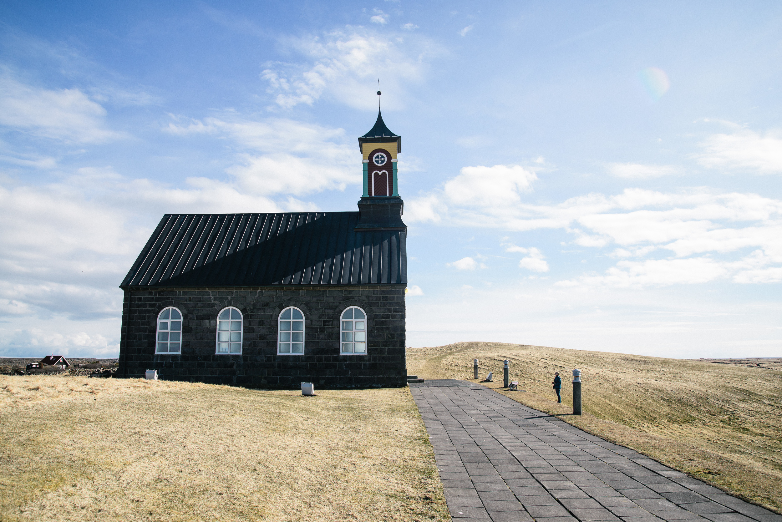
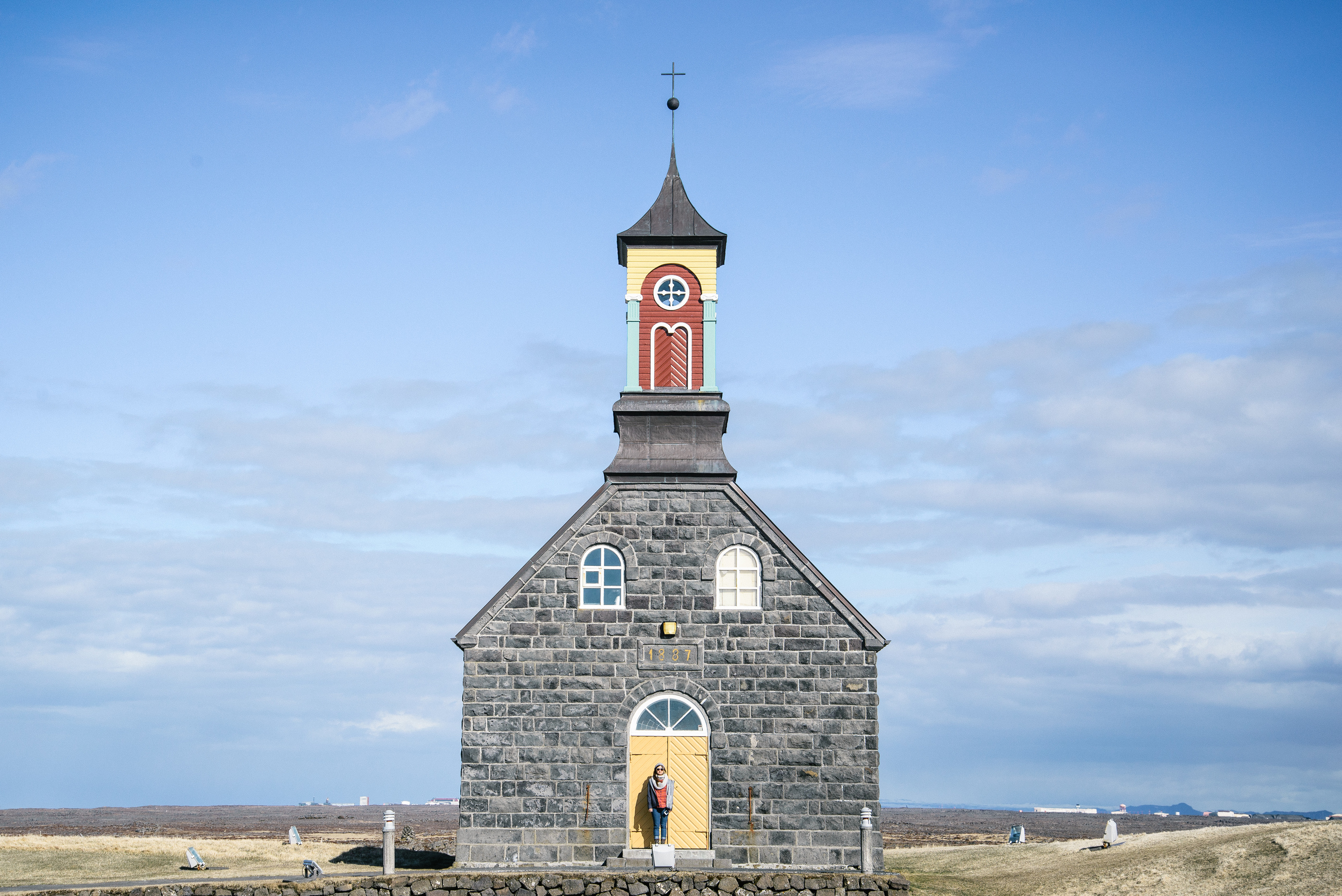
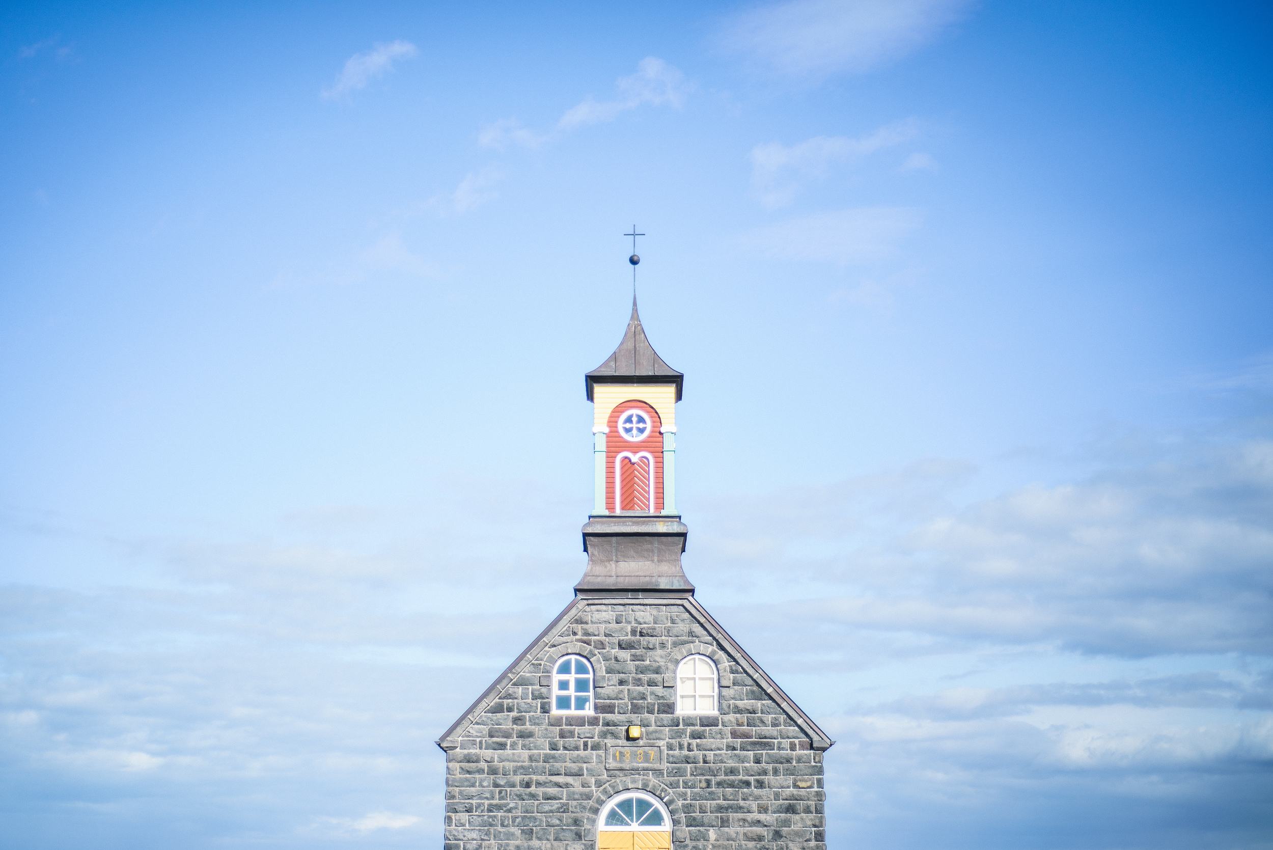
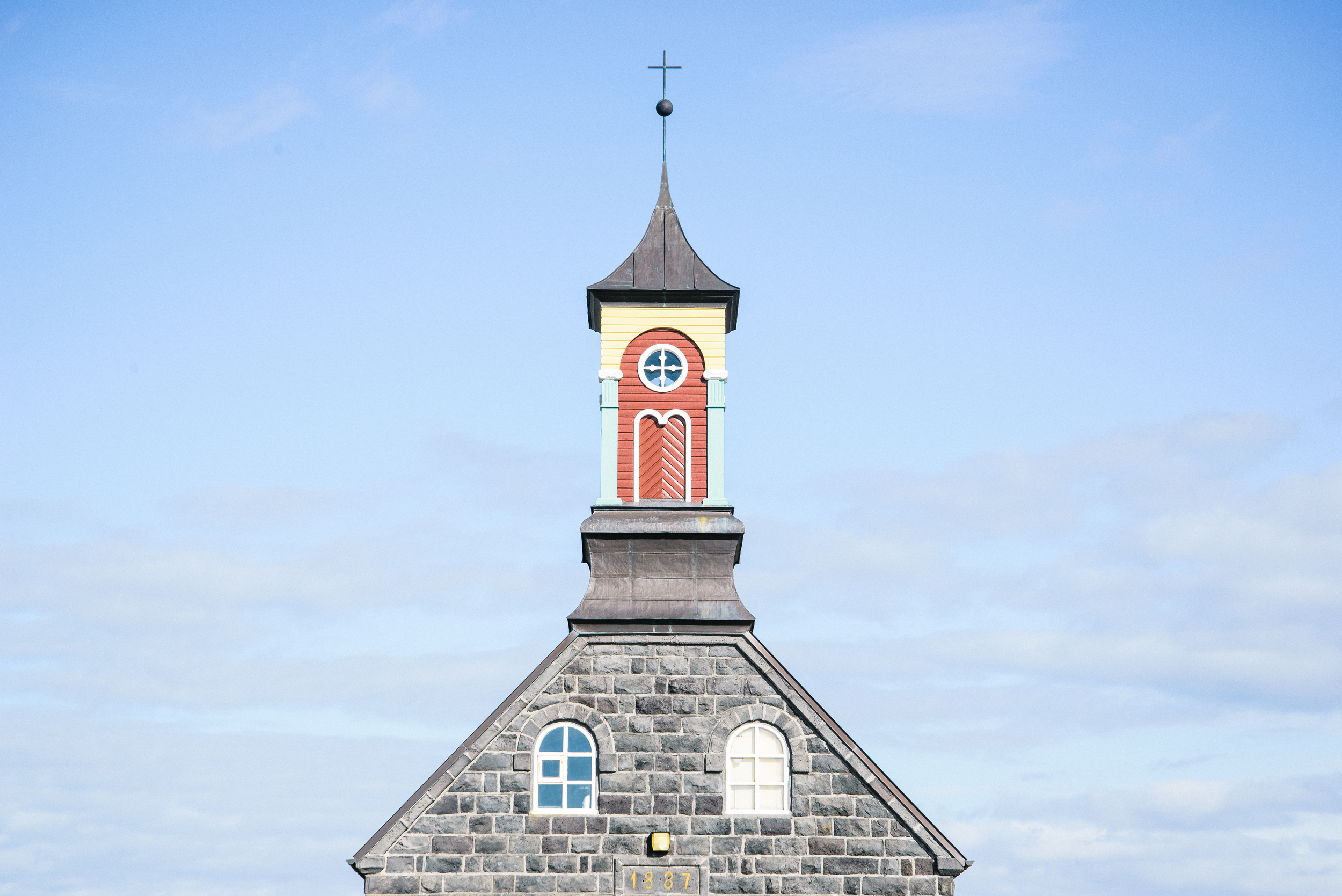
Firstly, the pretty Hvalsneskirkja, just outside the village of Sandgerði and just a few kilometers from Keflavik Airport. The church was built in 1887 and has a distinctively painted steeple in primary colours.


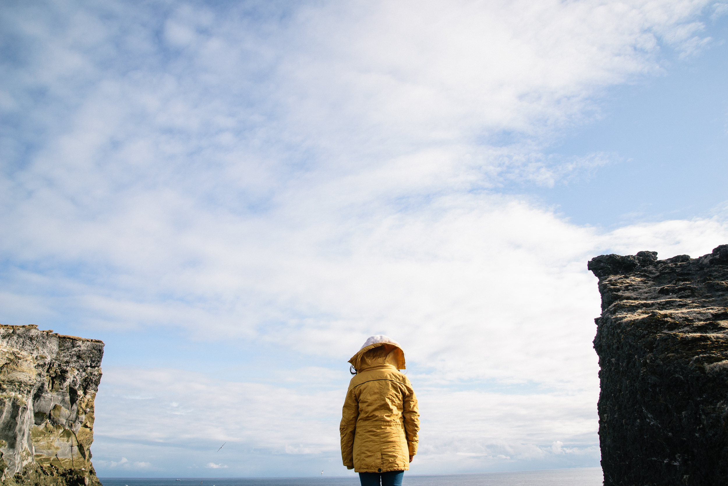
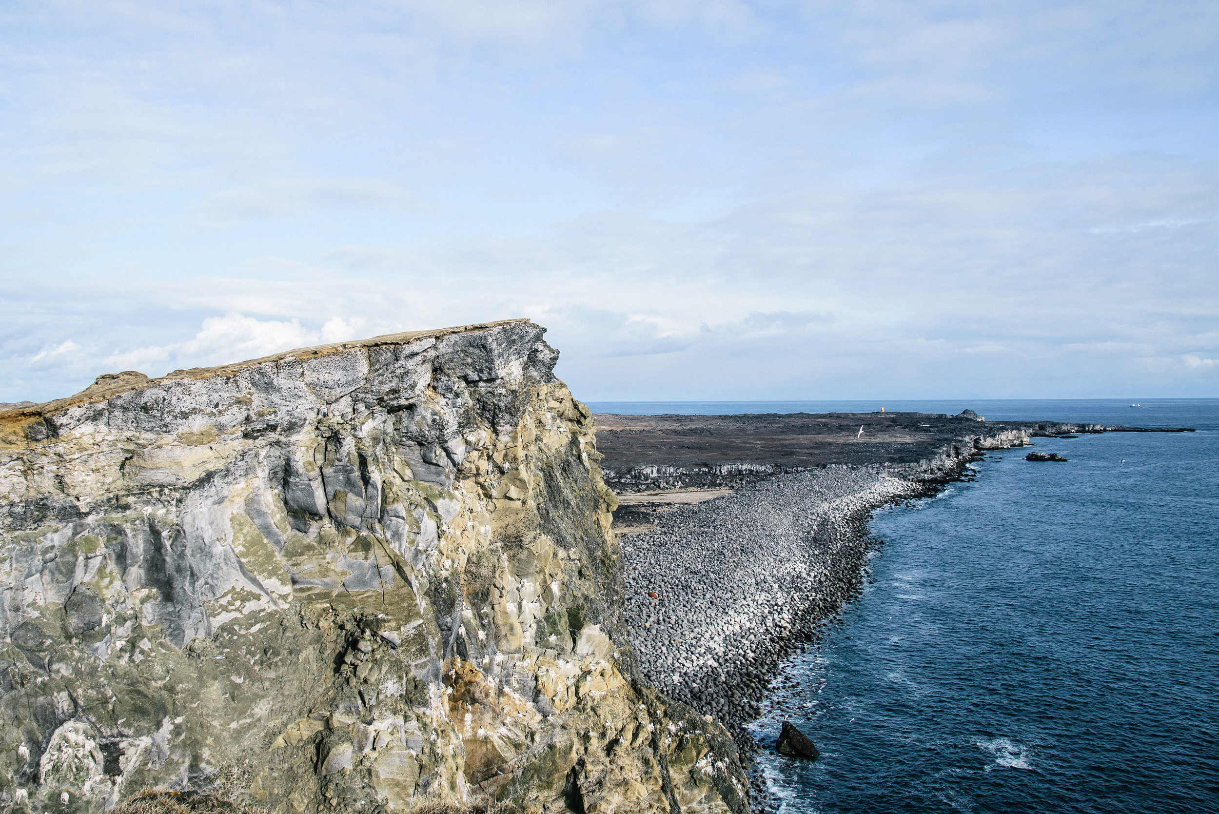
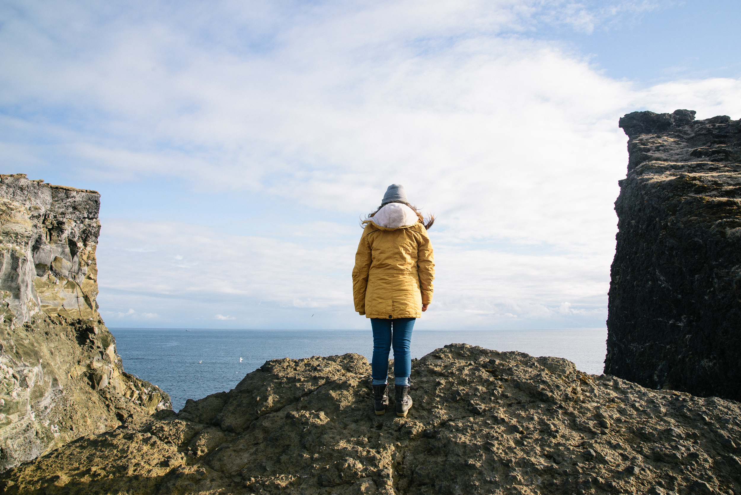
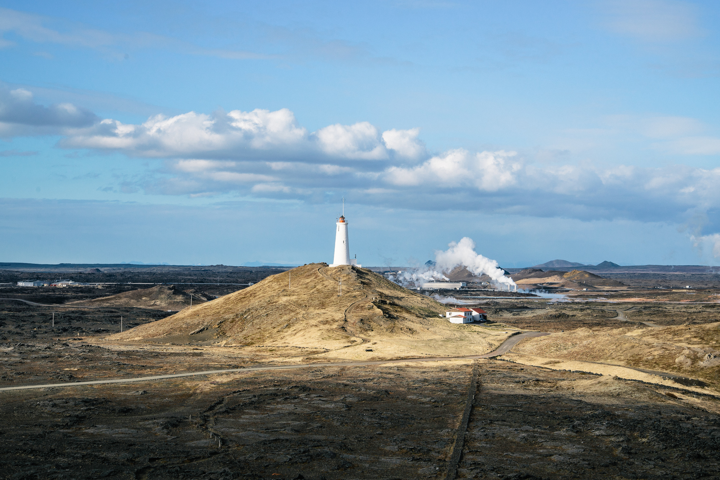
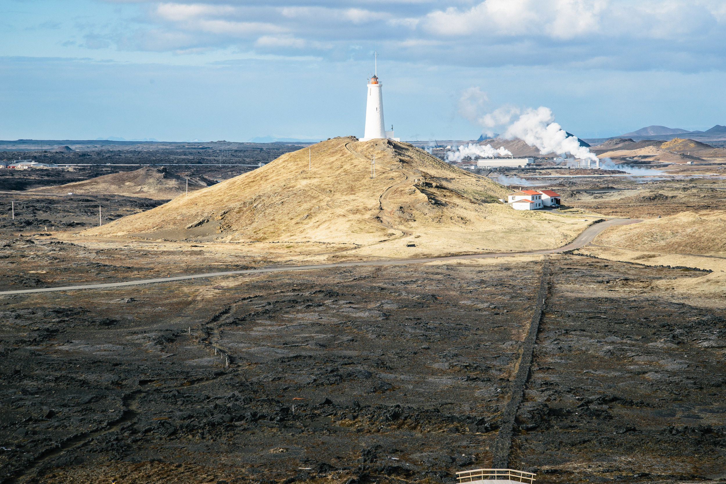
After stopping here and enjoying the sunshine for a while, we continued to the most South-Westerly point of Iceland at Reykjanesviti. There is a lighthouse here set back from the coast a little way on a hill, from which the traveller can enjoy great views across the Atlantic ocean. The wildness of the seas and rocks is beautiful, although strong winds can often mean you don't want to linger for too long...


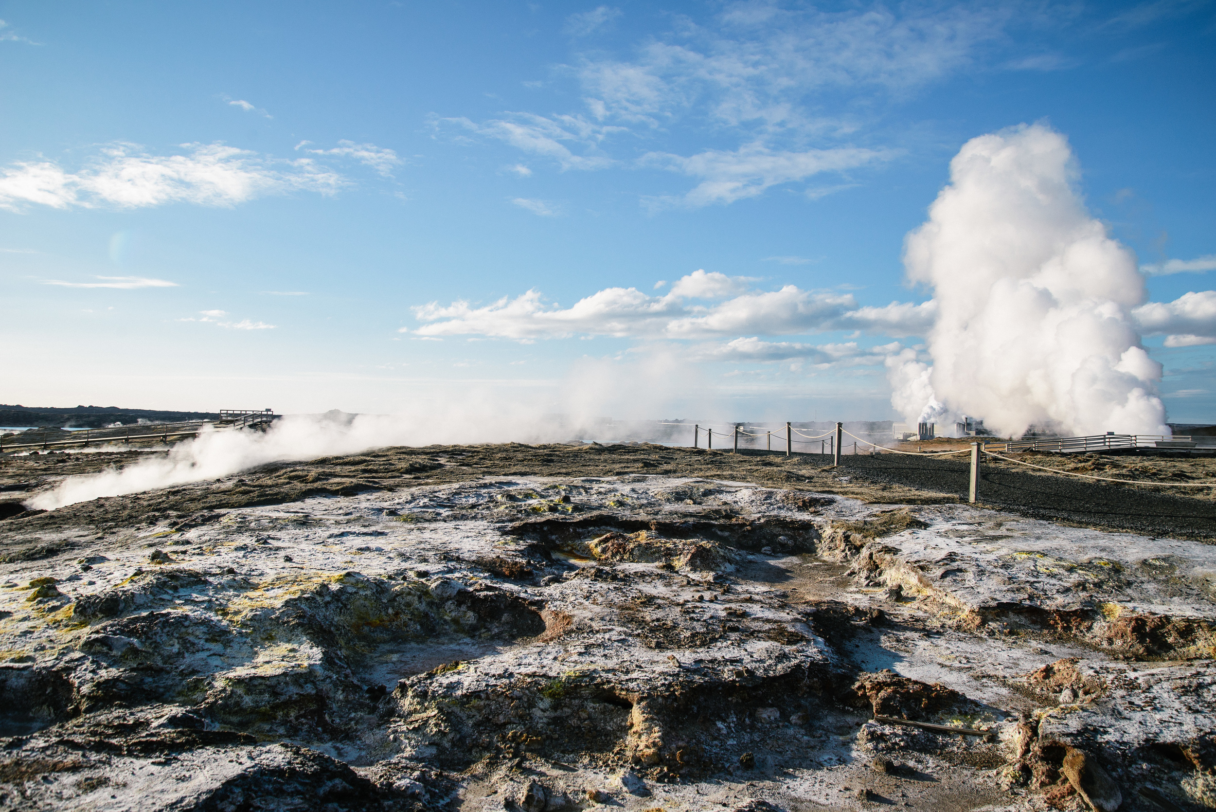
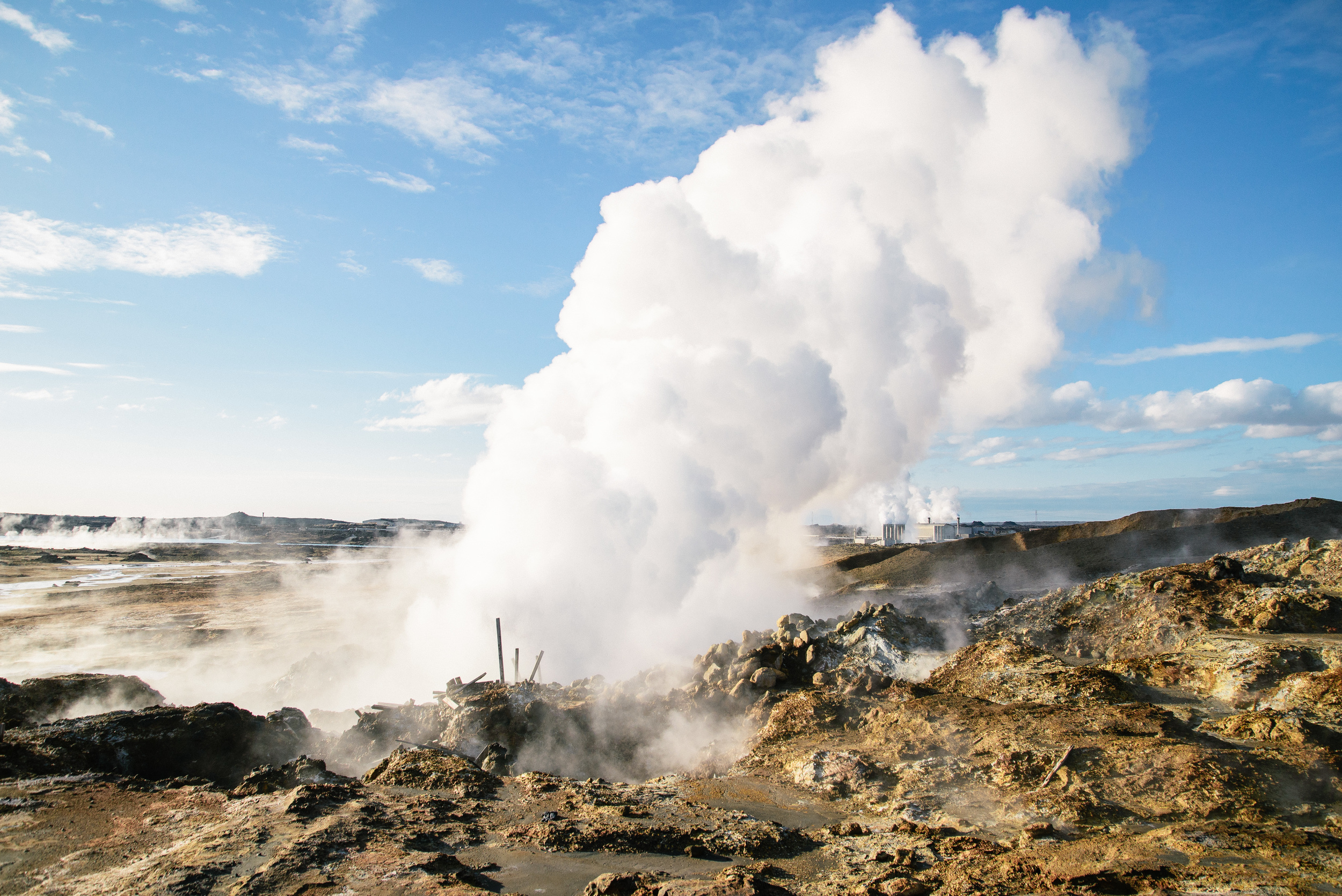
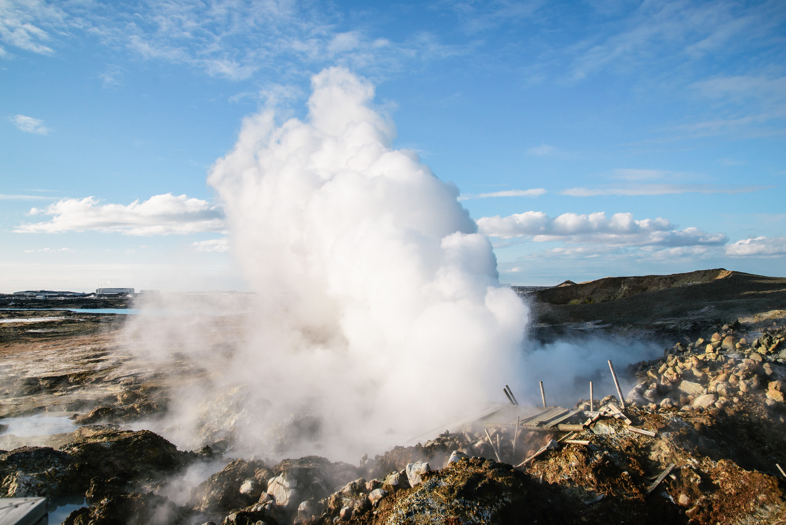
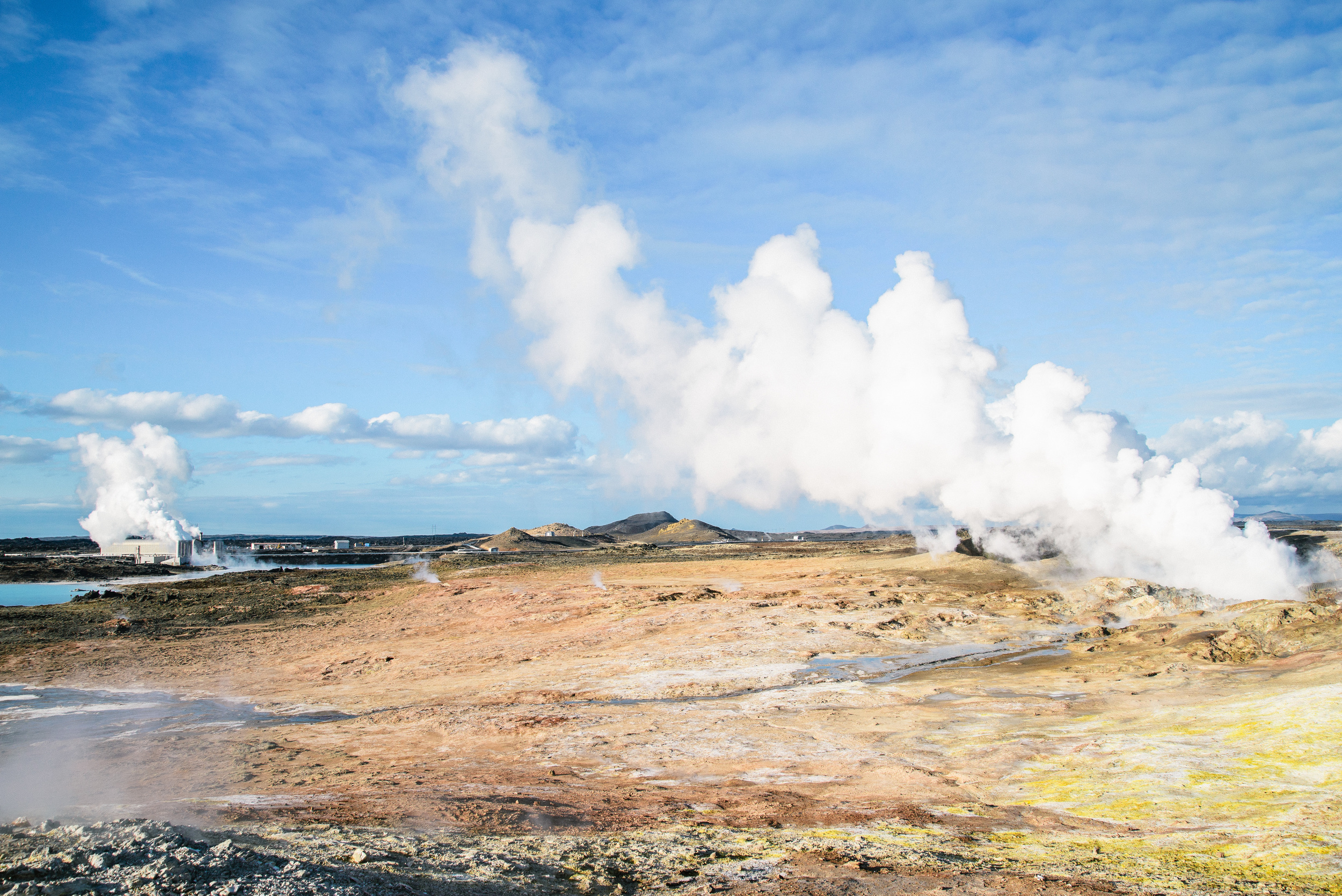
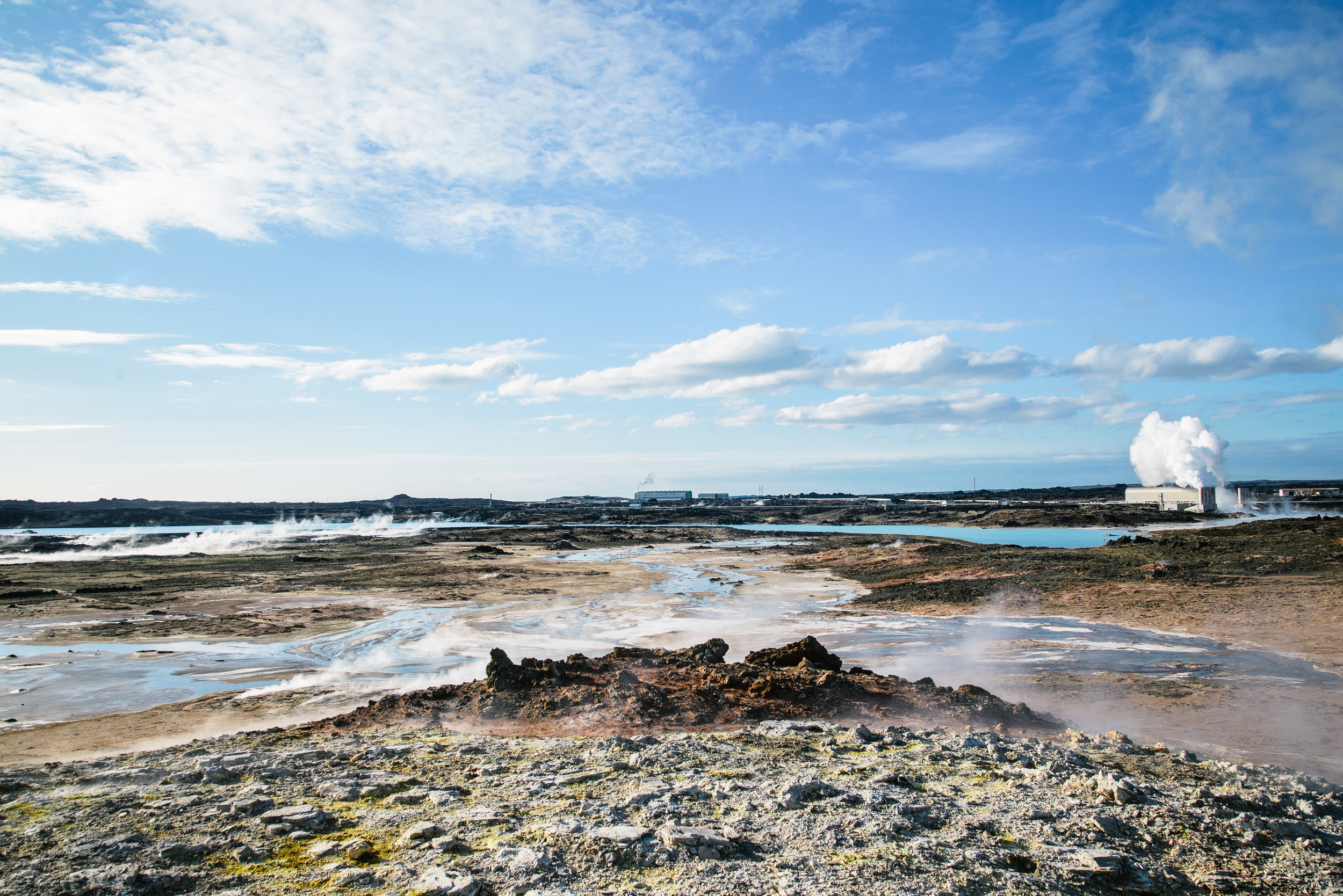
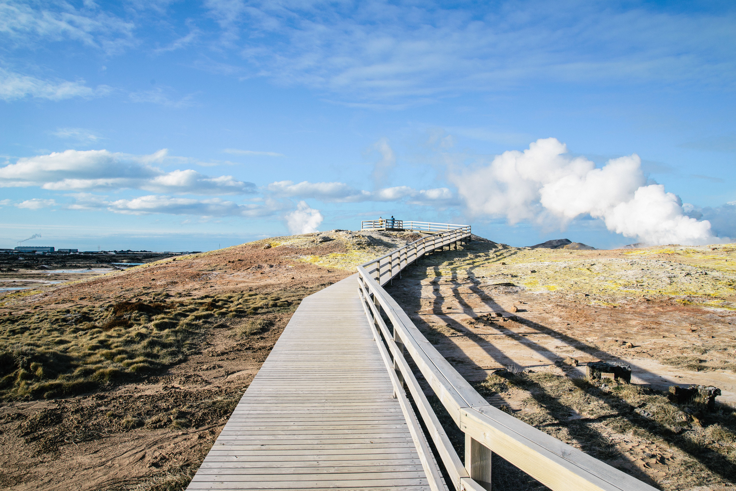
Not far from Reykjanesviti lighthouse is the hot spring Gunnuhver, It is named after the troublesome ghost of a local woman called Gunna, who murdered someone she had a dispute with at her own funeral. She finally met her end when a priest laid a trap for her and pushed her into the geysir. 


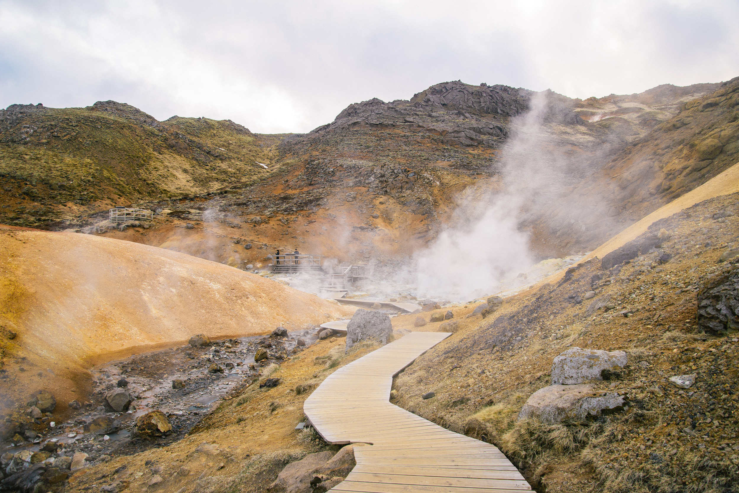
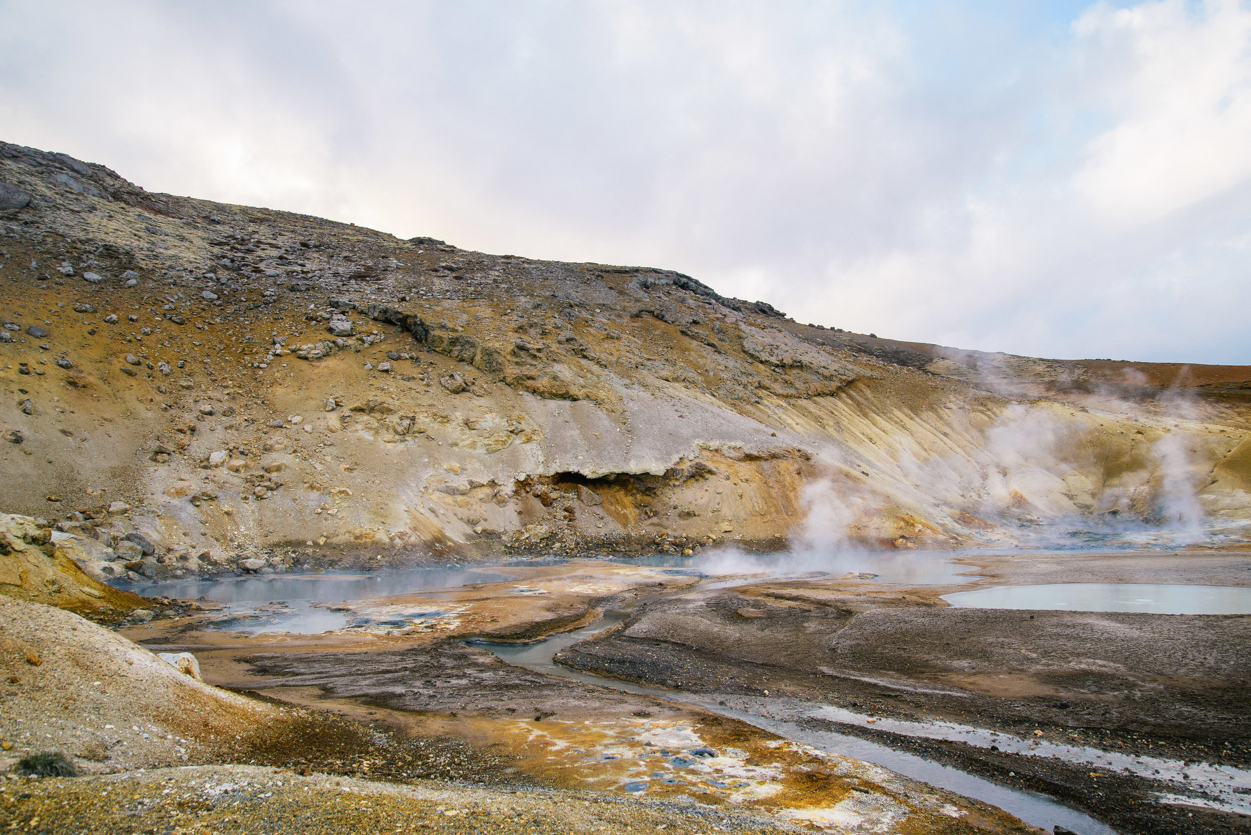
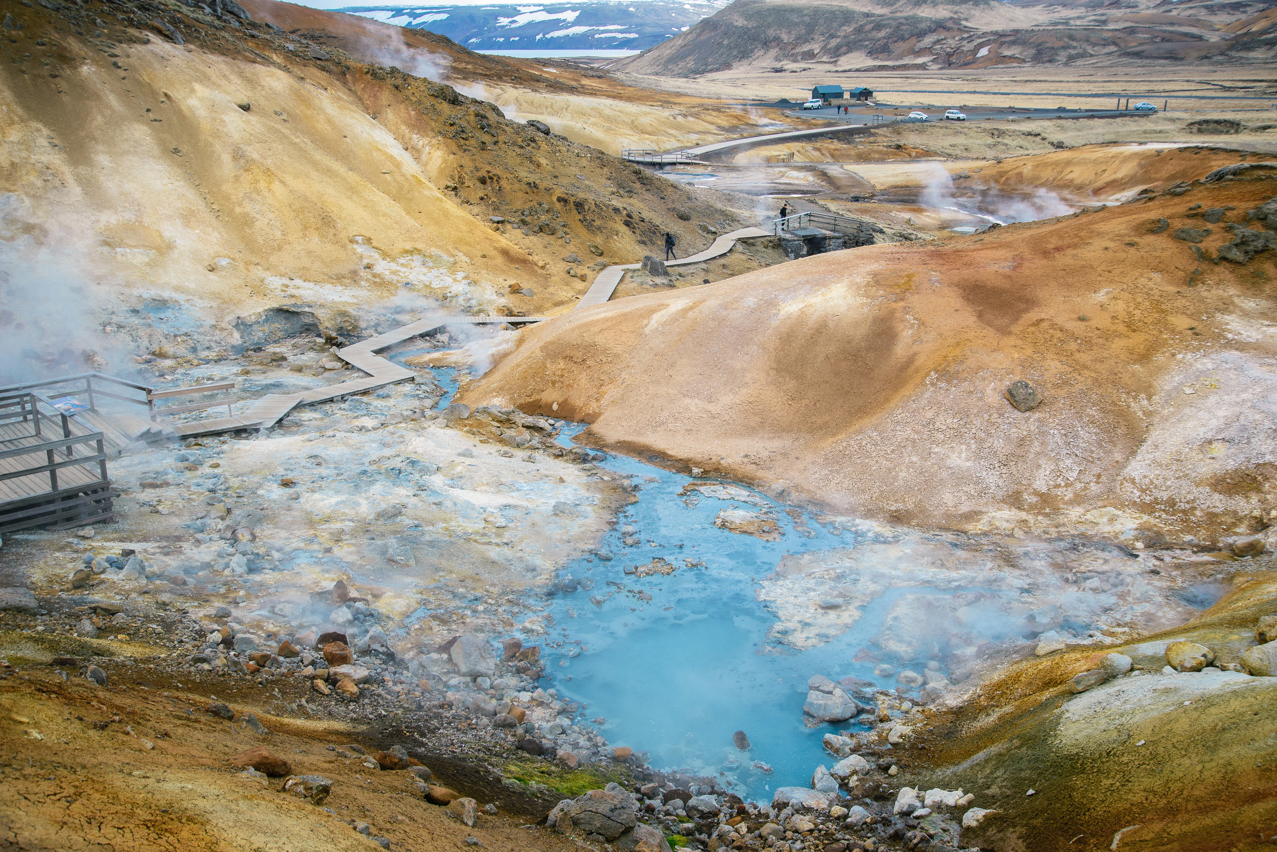
On the way back to Reykjavik, you can either relax for hours in the famous Blue Lagoon at Grindavik, or continue on the the Krysuvik geothermal area where you can witness boiling mud pools and sulphurous stream rising where the land is almost surrealistically brightly coloured, a result of all this restless geothermal activity. It really is other-wordly, and you feel a bit like this is a film-set, some kind of art installation rather than the incredible natural phenomenon it really is. 

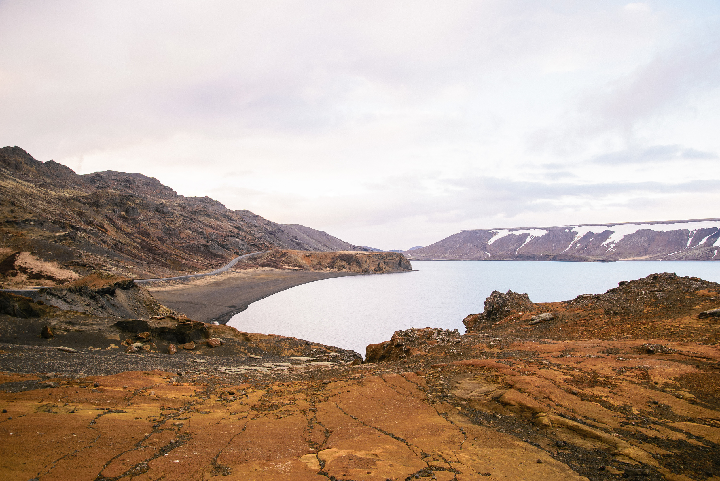
Just after Krýsuvík, on the way back to Reykjavík, is the brooding blue lake called Kleifarvatn. It is gradually shrinking, after a few volcanic fissures opened up across the lake at the turn of this century, but there's still enough water in there to make it an impressive, if not erie, place to visit.

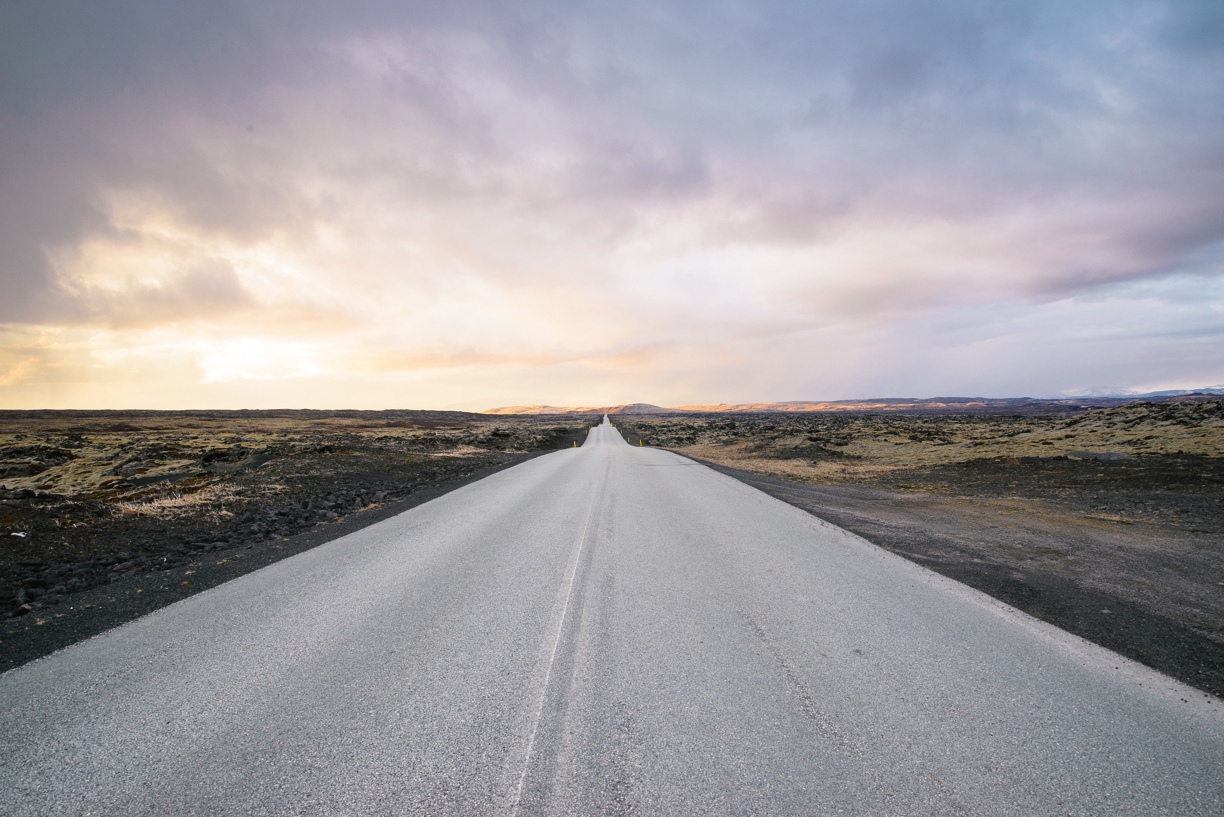
The long straight road home takes you through Hafnarfjörður, a town full of character and built on a lava field and now part of the capital area.

For some of these and more photos of the Reykjanes Peninsula, please see this page on my website! http://www.nordicadventurer.com/reykjanes-peninsula/ 
 

Suggested itinerary for Reykjanes trip

-Start early by driving through the harbour area Hafnafjörður and stop at the wonderful hidden gem, Pallett, for coffee. It is run by former Icelandic Barista champion Pálmar Þór Hlöðvarsson, who I would argue makes the best coffee right now in Iceland. 


-After your caffeine intake, drive towards Keflavík on the main airport road, but take a detour along the road marked "Vatnsleysuströnd" (literally "waterless beach"), and there is a picturesque church and some abandoned farmhouses which are great for photography. Re-join the main road by Vogar, and at Njarðvik, drive up the hill on the edge of town where you can walk a short distance to some incredible sea-cliffs with views back to Reykjavik. 

-If you have time, check out Viking World in Njarðvík, a small museum containing an impressive replica viking ship.

-Grab some food at one of Keflavik´s many cafés or get something to take away and then drive to the little village of Garður, where there are two lighthouses to explore and many seabirds to watch. 

-Continue around the end of the peninsula through Sandgerði, and stop at the pretty Hvalsneskirkja (see above).

-The road continues around the back of Keflavik Airport and head south and turn on to check out the "Bridge Between Continents", where you can walk across a fissure which marks the boundary of two tectonic plates, the North American and Eurasian.

-Continue down the road south and turn off to Reykjanesviti to see dramatic rock formations and roaring seas, and view the area where the last pair of Great Auks were sighted before it became extinct. Check out the hot spring Gunnuhver (see above). 

-Head through the fishing village Grindavik, and either relax at the Blue Lagoon or continue around the coast a little longer and turn north at Krýsuvik, where you should stop at the Seltún geothermal area to see some incredible colours and bubbling mud pools (see above). Finally head back to Reykjavik past the beautifully haunting Kleifurvatn lake and back through Hafnafjörður.